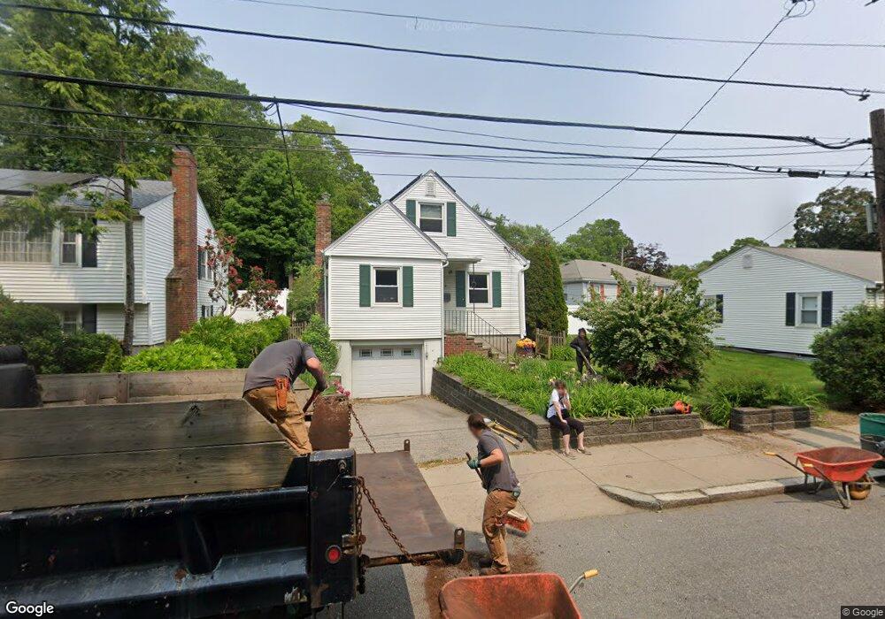
823 Lagrange St West Roxbury, MA 02132
West Roxbury NeighborhoodEstimated Value: $675,000 - $864,000
3
Beds
2
Baths
1,123
Sq Ft
$658/Sq Ft
Est. Value
About This Home
This home is located at 823 Lagrange St, West Roxbury, MA 02132 and is currently estimated at $739,468, approximately $658 per square foot. 823 Lagrange St is a home located in Suffolk County with nearby schools including St Theresa School, Catholic Memorial School, and The Roxbury Latin School.
Ownership History
Date
Name
Owned For
Owner Type
Purchase Details
Closed on
Jul 20, 2023
Sold by
Grundstrom Catherine A
Bought by
Catherine A Grundstrom Lt and Grundstrom
Current Estimated Value
Purchase Details
Closed on
Jul 31, 1991
Sold by
Tardivo Ann and Tardivo James
Bought by
Grundstrom Richard J and Grundstrom Catherin
Home Financials for this Owner
Home Financials are based on the most recent Mortgage that was taken out on this home.
Original Mortgage
$142,625
Interest Rate
9.58%
Mortgage Type
Purchase Money Mortgage
Purchase Details
Closed on
Oct 12, 1989
Sold by
Bryson Henry Est
Bought by
Tardivo James
Create a Home Valuation Report for This Property
The Home Valuation Report is an in-depth analysis detailing your home's value as well as a comparison with similar homes in the area
Home Values in the Area
Average Home Value in this Area
Purchase History
| Date | Buyer | Sale Price | Title Company |
|---|---|---|---|
| Catherine A Grundstrom Lt | -- | None Available | |
| Grundstrom Richard J | $140,000 | -- | |
| Tardivo James | $140,000 | -- |
Source: Public Records
Mortgage History
| Date | Status | Borrower | Loan Amount |
|---|---|---|---|
| Previous Owner | Tardivo James | $147,000 | |
| Previous Owner | Tardivo James | $137,000 | |
| Previous Owner | Tardivo James | $143,500 | |
| Previous Owner | Tardivo James | $142,625 |
Source: Public Records
Tax History
| Year | Tax Paid | Tax Assessment Tax Assessment Total Assessment is a certain percentage of the fair market value that is determined by local assessors to be the total taxable value of land and additions on the property. | Land | Improvement |
|---|---|---|---|---|
| 2025 | $7,059 | $609,600 | $219,900 | $389,700 |
| 2024 | $6,093 | $559,000 | $206,500 | $352,500 |
| 2023 | $5,826 | $542,500 | $200,400 | $342,100 |
| 2022 | $5,366 | $493,200 | $182,200 | $311,000 |
| 2021 | $4,895 | $458,800 | $173,500 | $285,300 |
| 2020 | $4,500 | $426,100 | $163,000 | $263,100 |
| 2019 | $4,314 | $409,300 | $132,700 | $276,600 |
| 2018 | $3,972 | $379,000 | $132,700 | $246,300 |
| 2017 | $3,933 | $371,400 | $132,700 | $238,700 |
| 2016 | $3,783 | $343,900 | $132,700 | $211,200 |
| 2015 | $4,232 | $349,500 | $148,700 | $200,800 |
| 2014 | $4,148 | $329,700 | $148,700 | $181,000 |
Source: Public Records
Map
Nearby Homes
- 154 Brook Farm Rd
- 89 Newfield St
- 64 Newfield St
- 100 Anderer Ln Unit 2
- 40 Newfield St
- 23 Atlantis St
- 39 Chellman St
- 76 Lasell St
- 34 Addington Rd
- 923 Lagrange St
- 36 Worley St
- 99 Vermont St
- 644 Weld St
- 1307 Lagrange St Unit 1307
- 37 Pomfret St
- 990 Vfw Pkwy Unit 204
- 37 Cotuit St
- 183 Temple St
- 66 Bryon Rd Unit 2
- 73 Dent St Unit 2
- 827 Lagrange St
- 2 Furbush Rd
- 2 Furbush Rd
- 819 Lagrange St
- 8 Furbush Rd
- 829 Lagrange St Unit 1
- 829 Lagrange St Unit 6
- 829 Lagrange St Unit 3
- 829 Lagrange St Unit 5
- 829 Lagrange St
- 829 Lagrange St Unit 4
- 829 Lagrange St Unit 2
- 10 Furbush Rd
- 1 Furbush Rd
- 831 Lagrange St
- 831 Lagrange St Unit 831
- 5 Furbush Rd
- 9 Furbush Rd
- 807 Lagrange St
- 96 Anderer Ln Unit 7
Your Personal Tour Guide
Ask me questions while you tour the home.