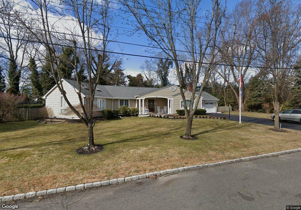
823 Scott Rd Brielle, NJ 08730
Estimated Value: $1,225,000 - $1,464,000
About This Home
This home is located at 823 Scott Rd, Brielle, NJ 08730 and is currently estimated at $1,368,875, approximately $684 per square foot. 823 Scott Rd is a home located in Monmouth County with nearby schools including Brielle Elementary School and St. Peter School.
Ownership History
We collect this data history from publicly available records. To have your information removed, we recommend requesting removal directly through your county’s website.
Purchase Details
Home Financials for this Owner
Home Financials are based on the most recent Mortgage that was taken out on this home.Purchase Details
Home Financials for this Owner
Home Financials are based on the most recent Mortgage that was taken out on this home.Purchase Details
Home Financials for this Owner
Home Financials are based on the most recent Mortgage that was taken out on this home.Home Values in the Area
Average Home Value in this Area
Purchase History
We collect this data history from publicly available records. To have your information removed, we recommend requesting removal directly through your county’s website.
| Date | Buyer | Sale Price | Title Company |
|---|---|---|---|
| $800,000 | Transnation Title Ins Co | ||
| $775,000 | -- | ||
| $428,500 | -- |
Mortgage History
We collect this data history from publicly available records. To have your information removed, we recommend requesting removal directly through your county’s website.
| Date | Status | Borrower | Loan Amount |
|---|---|---|---|
| Closed | $500,000 | ||
| Previous Owner | $225,000 | ||
| Previous Owner | $275,001 |
Tax History
We collect this data history from publicly available records. To have your information removed, we recommend requesting removal directly through your county’s website.
| Year | Tax Paid | Tax Assessment Tax Assessment Total Assessment is a certain percentage of the fair market value that is determined by local assessors to be the total taxable value of land and additions on the property. | Land | Improvement |
|---|---|---|---|---|
| 2025 | $12,345 | $1,098,400 | $705,000 | $393,400 |
| 2024 | $13,066 | $994,800 | $603,800 | $391,000 |
| 2023 | $13,066 | $1,016,800 | $635,000 | $381,800 |
| 2022 | $10,598 | $786,800 | $442,500 | $344,300 |
| 2021 | $10,598 | $691,300 | $385,000 | $306,300 |
| 2020 | $11,202 | $684,300 | $385,000 | $299,300 |
| 2019 | $10,704 | $663,600 | $385,000 | $278,600 |
| 2018 | $10,878 | $665,700 | $400,000 | $265,700 |
| 2017 | $10,215 | $617,600 | $360,000 | $257,600 |
| 2016 | $10,089 | $611,100 | $360,000 | $251,100 |
| 2015 | $9,973 | $599,700 | $360,000 | $239,700 |
| 2014 | $9,239 | $593,000 | $389,200 | $203,800 |
Map
- 642 Rankin Rd
- 612 Union Ave
- 5 Berkeley Square
- 33 Maple Ln Unit B
- 619 Bradley Ave
- 105 Ashley Ave
- 123 Ashley Ave Unit 123
- 543 Harris Ave
- 907 Riverview Dr
- 432 Oval Rd
- 651 Oceanview Rd
- 308 South St
- 1307 W Union Ln Unit A4
- 608 Cedarcrest Dr
- 1432 Oval Rd
- 1442 Oval Rd
- 917 Riverview Dr
- 602 Homestead Rd
- 619 Park Ave
- 301 Old Bridge Rd
- 821 Scott Rd
- 822 Scott Rd
- 825 Scott Rd
- 820 Scott Rd
- 619 Rankin Rd
- 619 Rankin Rd Unit Lot 3 - .1.028 acres
- 619 Rankin Rd Unit Lot 2 - .691 acres
- 619 Rankin Rd Unit Lot 4 - .366 acres
- 619 Rankin Rd Unit Lot 1 - .712 acres
- 619 Rankin Rd Unit Lot 5 - .432 acres
- 830 Squan Brook Way
- 621 Rankin Rd
- 823 Club Rd
- 824 Scott Rd
- 825 Club Rd
- 620 Rankin Rd
- 622 Rankin Rd
- 623 Rankin Rd
- 624 Rankin Rd
- 613 Rankin Rd
Ask me questions while you tour the home.