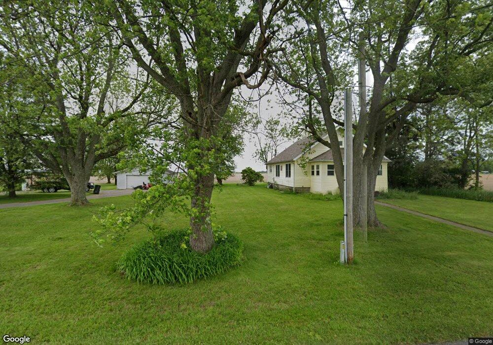
8258 Road 90 Paulding, OH 45879
Estimated Value: $169,568 - $200,000
3
Beds
1
Bath
1,872
Sq Ft
$100/Sq Ft
Est. Value
About This Home
This home is located at 8258 Road 90, Paulding, OH 45879 and is currently estimated at $186,892, approximately $99 per square foot. 8258 Road 90 is a home located in Paulding County with nearby schools including Paulding High School and Divine Mercy School.
Ownership History
Date
Name
Owned For
Owner Type
Purchase Details
Closed on
Apr 2, 2019
Sold by
Kipfer Morris T and Kipfer Chelsea L
Bought by
Little Rolland L
Current Estimated Value
Home Financials for this Owner
Home Financials are based on the most recent Mortgage that was taken out on this home.
Original Mortgage
$106,043
Outstanding Balance
$92,469
Interest Rate
4.4%
Mortgage Type
FHA
Estimated Equity
$94,423
Purchase Details
Closed on
Apr 23, 2010
Sold by
Wirts Amy J and Schweller Amy J
Bought by
Kipfer Morris T and Spryn Chelsea L
Home Financials for this Owner
Home Financials are based on the most recent Mortgage that was taken out on this home.
Original Mortgage
$77,826
Interest Rate
5.05%
Mortgage Type
New Conventional
Purchase Details
Closed on
Jan 25, 2008
Sold by
Wirts Thomas M
Bought by
Wirts Amy J and Schweller Amy J
Create a Home Valuation Report for This Property
The Home Valuation Report is an in-depth analysis detailing your home's value as well as a comparison with similar homes in the area
Purchase History
| Date | Buyer | Sale Price | Title Company |
|---|---|---|---|
| Little Rolland L | $108,000 | None Available | |
| Kipfer Morris T | $80,000 | None Available | |
| Wirts Amy J | -- | None Available |
Source: Public Records
Mortgage History
| Date | Status | Borrower | Loan Amount |
|---|---|---|---|
| Open | Little Rolland L | $106,043 | |
| Previous Owner | Kipfer Morris T | $77,826 |
Source: Public Records
Tax History
| Year | Tax Paid | Tax Assessment Tax Assessment Total Assessment is a certain percentage of the fair market value that is determined by local assessors to be the total taxable value of land and additions on the property. | Land | Improvement |
|---|---|---|---|---|
| 2025 | $1,519 | $46,590 | $8,370 | $38,220 |
| 2024 | $1,519 | $35,840 | $6,440 | $29,400 |
| 2023 | $1,223 | $35,840 | $6,440 | $29,400 |
| 2022 | $1,217 | $35,840 | $6,440 | $29,400 |
| 2021 | $1,107 | $30,700 | $6,440 | $24,260 |
| 2020 | $1,145 | $30,700 | $6,440 | $24,260 |
| 2019 | $1,155 | $28,490 | $6,440 | $22,050 |
| 2018 | $1,081 | $28,490 | $6,440 | $22,050 |
| 2017 | $1,082 | $27,930 | $6,440 | $21,490 |
| 2016 | $1,060 | $27,930 | $6,440 | $21,490 |
| 2015 | $1,019 | $27,230 | $6,440 | $20,790 |
| 2014 | $1,013 | $27,230 | $6,440 | $20,790 |
| 2013 | $1,086 | $26,460 | $6,440 | $20,020 |
Source: Public Records
Map
Nearby Homes
- 6306 Road 55
- 11051 Road 93
- 114 E Oak St
- 215 S Main St
- 412 S Laura St
- 820 Brian Dr
- 714 W Wayne St
- 717 W Harrison St
- 780 W Jackson St
- 520 W Wayne St
- 200 German St
- 215 N Dewitt St
- 111 W Wayne St
- 406 N Cherry St
- 301 N Main St
- 516 N Williams St
- 713 N Walnut St
- 742 E Perry St
- 701 E Wayne St
- 830 N Walnut St
- 8327 Road 90
- 8383 Road 90
- 8050 Road 90
- 0 Rd 71 Unit 11256371
- 8316 Road 71
- 8313 Road 71
- 8571 Road 71
- 8576 Road 71
- 8232 Road 71
- 8211 Road 71
- 7975 State Route 500
- 8473 State Route 613
- 8154 Road 71
- 8114 Road 71
- 8080 Road 71
- 8109 State Route 613
- 8024 Road 71
- 7722 State Route 500
- 7701 State Route 500
- 7574 State Route 500
Your Personal Tour Guide
Ask me questions while you tour the home.