Estimated Value: $274,000 - $355,000
4
Beds
3
Baths
2,550
Sq Ft
$127/Sq Ft
Est. Value
About This Home
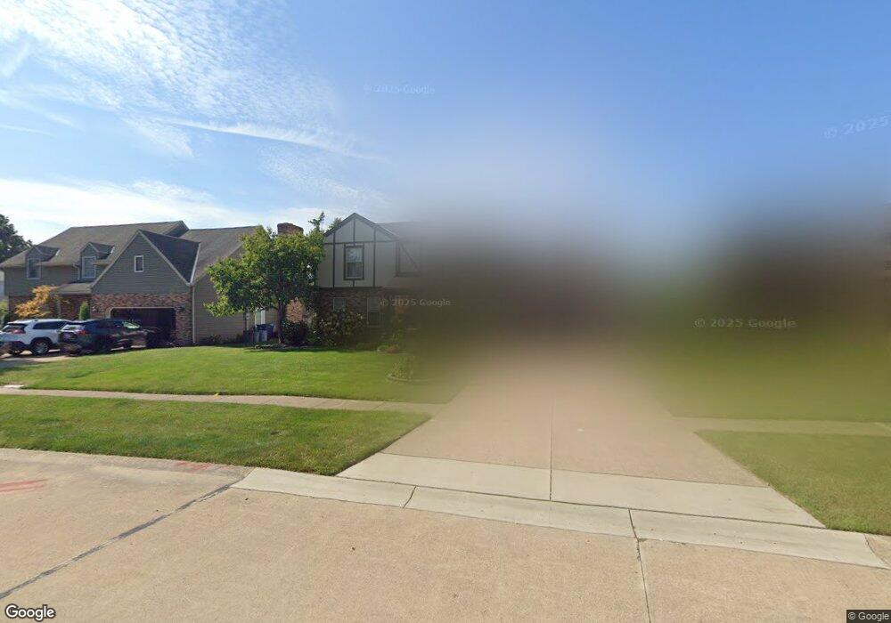
This home is located at 826 Gloucester Dr, Huron, OH 44839 and is currently estimated at $323,643, approximately $126 per square foot. 826 Gloucester Dr is a home located in Erie County with nearby schools including Woodlands Intermediate School, Shawnee Elementary School, and McCormick Junior High School.
Ownership History
Date
Name
Owned For
Owner Type
Purchase Details
Closed on
Dec 21, 2020
Sold by
Hoffman Larry A and Hoffman Carmel A
Bought by
Hake Kevin J and Hake Gina R
Current Estimated Value
Home Financials for this Owner
Home Financials are based on the most recent Mortgage that was taken out on this home.
Original Mortgage
$184,000
Outstanding Balance
$161,855
Interest Rate
2.8%
Mortgage Type
Closed End Mortgage
Estimated Equity
$161,788
Purchase Details
Closed on
Jun 27, 1994
Sold by
Burre William T
Bought by
Link Joseph F and Link Natalianne M
Home Financials for this Owner
Home Financials are based on the most recent Mortgage that was taken out on this home.
Original Mortgage
$105,000
Interest Rate
8.78%
Mortgage Type
New Conventional
Create a Home Valuation Report for This Property
The Home Valuation Report is an in-depth analysis detailing your home's value as well as a comparison with similar homes in the area
Home Values in the Area
Average Home Value in this Area
Purchase History
| Date | Buyer | Sale Price | Title Company |
|---|---|---|---|
| Hake Kevin J | $122,188 | Fidelity National Ttl Co Llc | |
| Link Joseph F | $147,000 | -- |
Source: Public Records
Mortgage History
| Date | Status | Borrower | Loan Amount |
|---|---|---|---|
| Open | Hake Kevin J | $184,000 | |
| Closed | Link Joseph F | $105,000 |
Source: Public Records
Tax History
| Year | Tax Paid | Tax Assessment Tax Assessment Total Assessment is a certain percentage of the fair market value that is determined by local assessors to be the total taxable value of land and additions on the property. | Land | Improvement |
|---|---|---|---|---|
| 2025 | $3,788 | $97,076 | $14,427 | $82,649 |
| 2024 | $3,788 | $97,076 | $14,427 | $82,649 |
| 2023 | $3,888 | $76,716 | $12,768 | $63,948 |
| 2022 | $3,180 | $76,723 | $12,768 | $63,955 |
| 2021 | $3,172 | $76,730 | $12,770 | $63,960 |
| 2020 | $2,890 | $68,110 | $12,770 | $55,340 |
| 2019 | $3,015 | $68,060 | $12,770 | $55,290 |
| 2018 | $3,031 | $68,060 | $12,770 | $55,290 |
| 2017 | $2,939 | $64,150 | $11,110 | $53,040 |
| 2016 | $2,845 | $64,150 | $11,110 | $53,040 |
| 2015 | $2,842 | $64,150 | $11,110 | $53,040 |
| 2014 | $2,875 | $64,150 | $11,110 | $53,040 |
| 2013 | $2,834 | $64,150 | $11,110 | $53,040 |
Source: Public Records
Map
Nearby Homes
- 1 Cleveland Rd W
- 807 Cleveland Rd W
- 706 Creekside Dr
- 11 Turtle Bay
- 1361 Cleveland Rd W Unit C
- 525 Liberty Dr Unit A
- 323 Portland Dr
- 0 Bucyrus Ave
- 546 Wilbor Ave
- 535 Wilbor Ave
- 919 Glenview Dr
- 418 Adams Ave
- 0 W Cleveland Rd
- 2016 Cleveland Rd W
- 28 Turtle Bay
- 352 Main St Unit B
- 0 Bogart Rd
- 676 Salem Dr
- 0 Main St
- 41 Poplar St
- 824 Gloucester Dr
- 828 Gloucester Dr
- 830 Gloucester Dr
- 723 Salem Dr
- 827 Gloucester Dr
- 825 Gloucester Dr
- 719 Salem Dr
- 832 Gloucester Dr
- 829 Gloucester Dr
- 823 Gloucester Dr
- 516 Westport Blvd
- 514 Westport Blvd
- 717 Salem Dr
- 518 Westport Blvd
- 512 Westport Blvd
- 725 Salem Dr
- 715 Salem Dr
- 520 Westport Blvd
- 835 Gloucester Dr
- 510 Westport Blvd
Your Personal Tour Guide
Ask me questions while you tour the home.