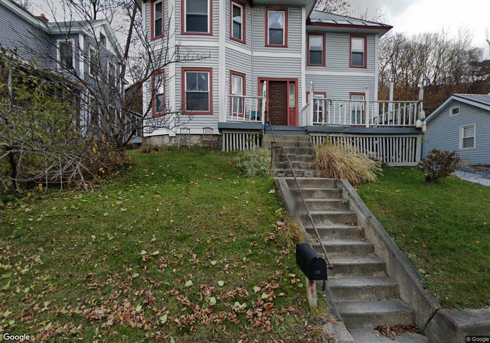
83 Front St North Adams, MA 01247
Estimated Value: $199,246 - $299,000
4
Beds
2
Baths
1,606
Sq Ft
$154/Sq Ft
Est. Value
About This Home
This home is located at 83 Front St, North Adams, MA 01247 and is currently estimated at $246,812, approximately $153 per square foot. 83 Front St is a home located in Berkshire County with nearby schools including Colegrove Park Elementary School and Drury High School.
Ownership History
Date
Name
Owned For
Owner Type
Purchase Details
Closed on
Nov 30, 2009
Sold by
Mulherrin Mark W
Bought by
Vanderstelt Rebecca J
Current Estimated Value
Home Financials for this Owner
Home Financials are based on the most recent Mortgage that was taken out on this home.
Original Mortgage
$52,000
Outstanding Balance
$33,677
Interest Rate
4.92%
Mortgage Type
Purchase Money Mortgage
Estimated Equity
$213,135
Purchase Details
Closed on
May 27, 2005
Sold by
Macksey John P and Macksey Sandra A
Bought by
Mulherrin Mark W and Vanderstelt Rebecca J
Home Financials for this Owner
Home Financials are based on the most recent Mortgage that was taken out on this home.
Original Mortgage
$58,500
Interest Rate
5.94%
Mortgage Type
Purchase Money Mortgage
Create a Home Valuation Report for This Property
The Home Valuation Report is an in-depth analysis detailing your home's value as well as a comparison with similar homes in the area
Home Values in the Area
Average Home Value in this Area
Purchase History
| Date | Buyer | Sale Price | Title Company |
|---|---|---|---|
| Vanderstelt Rebecca J | -- | -- | |
| Vanderstelt Rebecca J | -- | -- | |
| Mulherrin Mark W | $65,000 | -- | |
| Vanderstelt Rebecca J | -- | -- | |
| Mulherrin Mark W | $65,000 | -- |
Source: Public Records
Mortgage History
| Date | Status | Borrower | Loan Amount |
|---|---|---|---|
| Open | Vanderstelt Rebecca J | $52,000 | |
| Closed | Mulherrin Mark W | $52,000 | |
| Previous Owner | Mulherrin Mark W | $58,500 |
Source: Public Records
Tax History
| Year | Tax Paid | Tax Assessment Tax Assessment Total Assessment is a certain percentage of the fair market value that is determined by local assessors to be the total taxable value of land and additions on the property. | Land | Improvement |
|---|---|---|---|---|
| 2025 | $2,879 | $172,300 | $22,800 | $149,500 |
| 2024 | $2,703 | $157,700 | $20,800 | $136,900 |
| 2023 | $2,734 | $154,700 | $20,800 | $133,900 |
| 2022 | $2,453 | $132,400 | $20,800 | $111,600 |
| 2021 | $2,280 | $122,500 | $19,300 | $103,200 |
| 2020 | $2,264 | $121,600 | $20,400 | $101,200 |
| 2019 | $2 | $117,000 | $20,400 | $96,600 |
| 2018 | $2,066 | $116,200 | $21,500 | $94,700 |
| 2017 | $2,034 | $115,100 | $21,300 | $93,800 |
| 2016 | $1,970 | $113,300 | $21,300 | $92,000 |
| 2015 | $1,898 | $113,700 | $21,900 | $91,800 |
Source: Public Records
Map
Nearby Homes
- 306 Union St
- 35 Jackson St
- 67-69 E Quincy St
- 222 Eagle St
- 24 Franklin St
- 17-19 Bracewell Ave
- 27 Hall St
- 33-35 Hall St
- 460 Union St
- 56 Liberty St
- 82 Cherry St
- 19 N Church St Unit 5
- 19 N Church St Unit 12
- 19 N Church St Unit 10
- 284 Franklin St
- 73-75 Hall St
- 138 Church St
- 516-518 Union St
- 30 Dover St
- 0 Church St
- 89 Front St Unit 91
- 89-91 Front St
- 77 Front St
- 78 Cliff St Unit 80
- 70 Cliff St Unit 72
- 97 Front St Unit 99
- 86 Cliff St
- 86 Cliff St Unit Cliff Street Apt 1
- 86 Cliff St Unit 2
- 66 Cliff St
- 105 Front St Unit 107
- 121 Cliff St
- 57 Front St
- 100 Cliff St
- 60 Cliff St Unit C
- 60 Cliff St
- 60 Cliff St Unit A
- 60 Cliff St
- 243 Union St
- 243 Union St
Your Personal Tour Guide
Ask me questions while you tour the home.