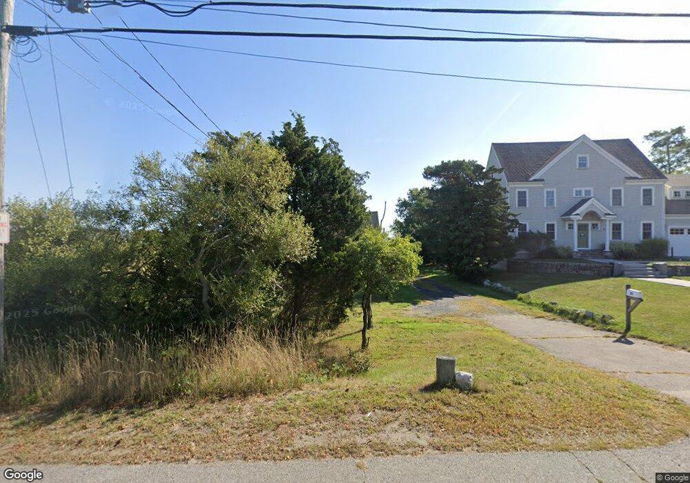
83 Kent St Scituate, MA 02066
Estimated Value: $1,046,649 - $1,524,000
3
Beds
2
Baths
2,184
Sq Ft
$551/Sq Ft
Est. Value
About This Home
This home is located at 83 Kent St, Scituate, MA 02066 and is currently estimated at $1,204,162, approximately $551 per square foot. 83 Kent St is a home located in Plymouth County with nearby schools including Jenkins Elementary School, Lester J. Gates Middle School, and Scituate High School.
Ownership History
Date
Name
Owned For
Owner Type
Purchase Details
Closed on
Jun 28, 2023
Sold by
Marilee A Caliendo Irt and Kistner
Bought by
Kistner Frances E and Kistner Kenneth F
Current Estimated Value
Purchase Details
Closed on
Dec 23, 2014
Sold by
Caliendo Marilee A
Bought by
Marilee Ann Caliendo I and Marilee Kistner
Create a Home Valuation Report for This Property
The Home Valuation Report is an in-depth analysis detailing your home's value as well as a comparison with similar homes in the area
Home Values in the Area
Average Home Value in this Area
Purchase History
| Date | Buyer | Sale Price | Title Company |
|---|---|---|---|
| Kistner Frances E | -- | None Available | |
| Marilee Ann Caliendo I | -- | -- |
Source: Public Records
Tax History
| Year | Tax Paid | Tax Assessment Tax Assessment Total Assessment is a certain percentage of the fair market value that is determined by local assessors to be the total taxable value of land and additions on the property. | Land | Improvement |
|---|---|---|---|---|
| 2025 | $9,077 | $908,600 | $501,300 | $407,300 |
| 2024 | $8,859 | $855,100 | $455,700 | $399,400 |
| 2023 | $8,234 | $739,800 | $384,800 | $355,000 |
| 2022 | $8,063 | $638,900 | $337,600 | $301,300 |
| 2021 | $6,201 | $576,900 | $321,500 | $255,400 |
| 2020 | $7,457 | $552,400 | $309,100 | $243,300 |
| 2019 | $7,358 | $535,500 | $303,100 | $232,400 |
| 2018 | $7,264 | $520,700 | $298,300 | $222,400 |
| 2017 | $7,201 | $511,100 | $288,700 | $222,400 |
| 2016 | $6,818 | $482,200 | $259,800 | $222,400 |
| 2015 | $6,191 | $472,600 | $250,200 | $222,400 |
Source: Public Records
Map
Nearby Homes
- 24 Ridge Hill Rd
- 20 Meeting House Ln
- 59 Greenfield Ln
- 55 Crescent Ave
- 15 Bearce Ln
- 33 Beaver Dam Rd
- 2 Collier Rd
- 46 Tilden Rd
- 23 Sunset Rd
- 21 Circuit Ave
- 34 Ladds Way
- 11 Brookline Rd
- 14 Old Country Way Unit C
- 32 Barker Rd Unit 3
- 19 Ford Place Unit 1
- 19 Ford Place Unit 2
- 1 Washington Ln
- 111 Elm St
- 115 Elm St
- 20 Grace Way Unit 20
Your Personal Tour Guide
Ask me questions while you tour the home.