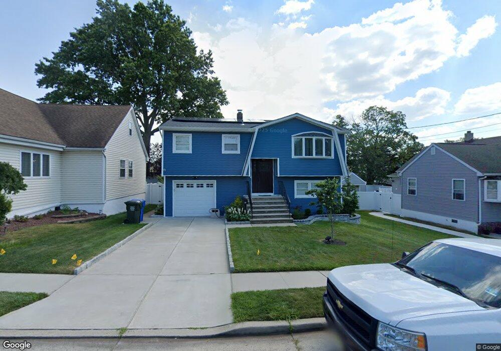
83 Loretta St Perth Amboy, NJ 08861
Estimated Value: $368,971 - $505,000
3
Beds
2
Baths
996
Sq Ft
$469/Sq Ft
Est. Value
About This Home
This home is located at 83 Loretta St, Perth Amboy, NJ 08861 and is currently estimated at $466,743, approximately $468 per square foot. 83 Loretta St is a home located in Middlesex County with nearby schools including Port Reading Elementary School, Fords Middle School, and John F. Kennedy Memorial High School.
Ownership History
Date
Name
Owned For
Owner Type
Purchase Details
Closed on
Jan 2, 2018
Sold by
Szczesny Walter and The Blanche F Godman Irrevocab
Bought by
Diaz Jose
Current Estimated Value
Home Financials for this Owner
Home Financials are based on the most recent Mortgage that was taken out on this home.
Original Mortgage
$224,720
Interest Rate
3.99%
Mortgage Type
New Conventional
Purchase Details
Closed on
Jun 21, 2004
Create a Home Valuation Report for This Property
The Home Valuation Report is an in-depth analysis detailing your home's value as well as a comparison with similar homes in the area
Home Values in the Area
Average Home Value in this Area
Purchase History
| Date | Buyer | Sale Price | Title Company |
|---|---|---|---|
| Diaz Jose | $280,900 | Stewart Title | |
| Blanche F Goodman Irrevocable Trust | -- | Stewart Title Guaranty Co | |
| The Blanche F Goodman Revocable Trust | -- | Stewart Title | |
| -- | -- | -- |
Source: Public Records
Mortgage History
| Date | Status | Borrower | Loan Amount |
|---|---|---|---|
| Previous Owner | Diaz Jose | $224,720 |
Source: Public Records
Tax History
| Year | Tax Paid | Tax Assessment Tax Assessment Total Assessment is a certain percentage of the fair market value that is determined by local assessors to be the total taxable value of land and additions on the property. | Land | Improvement |
|---|---|---|---|---|
| 2025 | $10,253 | $80,800 | $20,000 | $60,800 |
| 2024 | $9,996 | $80,800 | $20,000 | $60,800 |
| 2023 | $9,996 | $80,800 | $20,000 | $60,800 |
| 2022 | $9,708 | $80,800 | $20,000 | $60,800 |
| 2021 | $9,704 | $80,800 | $20,000 | $60,800 |
| 2020 | $8,998 | $77,600 | $20,000 | $57,600 |
| 2019 | $8,780 | $77,600 | $20,000 | $57,600 |
| 2018 | $8,583 | $77,600 | $20,000 | $57,600 |
| 2017 | $8,173 | $77,600 | $20,000 | $57,600 |
| 2016 | $8,339 | $77,600 | $20,000 | $57,600 |
| 2015 | $7,939 | $77,600 | $20,000 | $57,600 |
| 2014 | $7,724 | $77,600 | $20,000 | $57,600 |
Source: Public Records
Map
Nearby Homes
- 100 Juliette St
- 130 Loretta St
- 6 Worden Ave
- 490 Florida Grove Rd
- 99 Clyde Ave
- 654 Colgate Ave
- 71 S Maplewood Ave
- 684 Colgate Ave
- 653 Raritan Ave
- 113 Judy Dr Unit 115
- 17 Clembil Ct
- 60 Greenbrook Ave
- 12 Liberty St
- 21 Douglas St
- 59 Greenbrook Ave
- 12 E William St
- 618 Lee St
- 2 Olive St
- 10 E William St
- 25 Florida Grove Rd
Your Personal Tour Guide
Ask me questions while you tour the home.