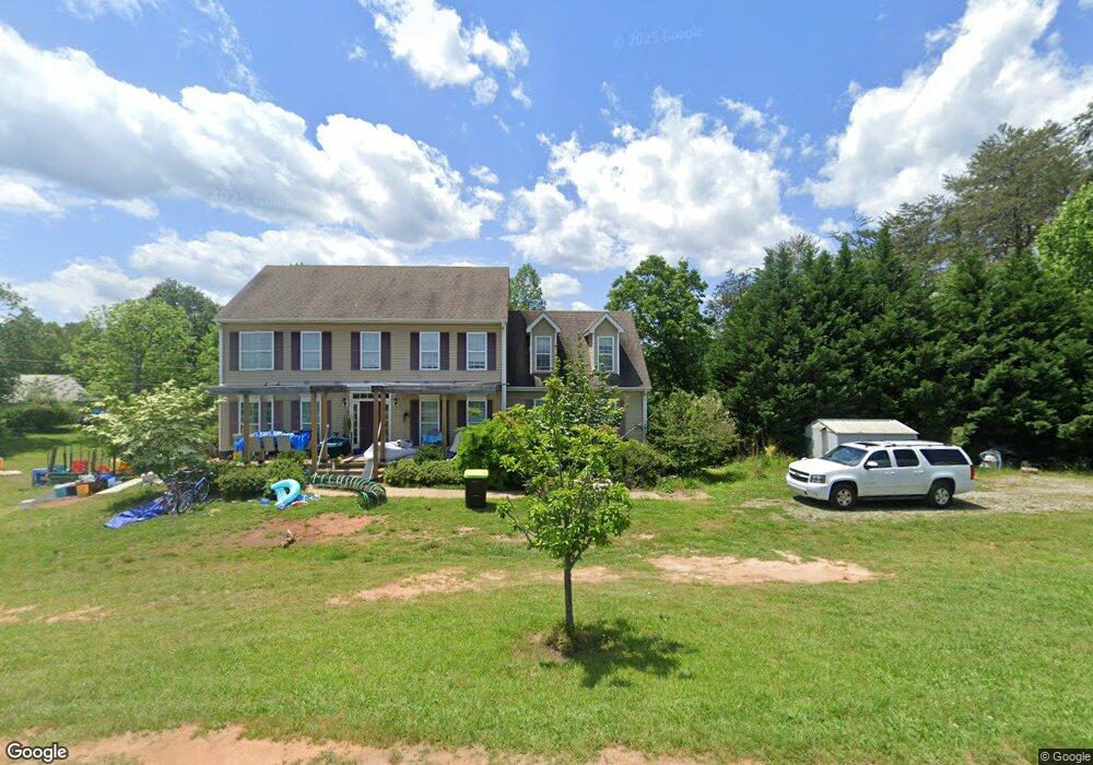
830 Blanton Rd Mill Spring, NC 28756
Estimated Value: $430,000 - $465,096
3
Beds
3
Baths
1,448
Sq Ft
$310/Sq Ft
Est. Value
About This Home
This home is located at 830 Blanton Rd, Mill Spring, NC 28756 and is currently estimated at $448,274, approximately $309 per square foot. 830 Blanton Rd is a home.
Ownership History
Date
Name
Owned For
Owner Type
Purchase Details
Closed on
Nov 27, 2013
Sold by
Haynes William Brett and Haynes Leslie Annette
Bought by
Haynes William B and Haynes Theodore Leslie
Current Estimated Value
Home Financials for this Owner
Home Financials are based on the most recent Mortgage that was taken out on this home.
Original Mortgage
$194,560
Outstanding Balance
$144,515
Interest Rate
4.13%
Mortgage Type
New Conventional
Estimated Equity
$303,759
Purchase Details
Closed on
Jun 14, 1999
Bought by
Haynes William B
Purchase Details
Closed on
Dec 31, 1997
Bought by
Haynes William B
Create a Home Valuation Report for This Property
The Home Valuation Report is an in-depth analysis detailing your home's value as well as a comparison with similar homes in the area
Home Values in the Area
Average Home Value in this Area
Purchase History
| Date | Buyer | Sale Price | Title Company |
|---|---|---|---|
| Haynes William B | -- | None Available | |
| Haynes William B | -- | -- | |
| Haynes William B | -- | -- |
Source: Public Records
Mortgage History
| Date | Status | Borrower | Loan Amount |
|---|---|---|---|
| Open | Haynes William B | $194,560 |
Source: Public Records
Tax History
| Year | Tax Paid | Tax Assessment Tax Assessment Total Assessment is a certain percentage of the fair market value that is determined by local assessors to be the total taxable value of land and additions on the property. | Land | Improvement |
|---|---|---|---|---|
| 2025 | $1,947 | $387,537 | $39,985 | $347,552 |
| 2024 | $1,815 | $282,308 | $28,100 | $254,208 |
| 2023 | $1,815 | $282,308 | $28,100 | $254,208 |
| 2022 | $1,793 | $282,308 | $28,100 | $254,208 |
| 2021 | $1,793 | $282,308 | $28,100 | $254,208 |
| 2020 | $1,589 | $237,094 | $23,100 | $213,994 |
| 2019 | $1,589 | $237,094 | $23,100 | $213,994 |
| 2018 | $1,470 | $237,094 | $23,100 | $213,994 |
| 2017 | $1,470 | $252,841 | $23,100 | $229,741 |
| 2016 | $1,515 | $252,841 | $23,100 | $229,741 |
| 2015 | $1,465 | $0 | $0 | $0 |
| 2014 | $1,465 | $0 | $0 | $0 |
| 2013 | -- | $0 | $0 | $0 |
Source: Public Records
Map
Nearby Homes
- 0000 Loblolly Ln Unit 24/23/22
- 21 Rock Ridge Rd
- 0 Ashley Ct Unit 7 CAR4145552
- 81 Delind Dr
- 19 Sunset Dr Unit 19
- 0 Sunset Dr Unit 20 CAR4112159
- 0 Sunset Dr Unit 12 CAR4049273
- 386 Sunset Dr Unit 14
- 00 King Stepp Rd
- 14 Spring Hollow
- TBD Jobes Trail Unit 29
- 240 Boulder Ridge
- 301 Peaks Dr
- 0 Cozy Ln Unit 59
- 0 Boulder Ridge Unit 45 3678321
- 132 Chasewood Dr
- 0 Chasewood Dr Unit 13
- 0 Chasewood Dr Unit 16
- 0 Chasewood Dr Unit 8
- 0000 Boulder Ridge
- 852 Blanton Rd
- Lot 15 Walnut Falls Blanton Rd
- 1000 Blanton Rd
- 112 Lancaster Dr
- 275 Lancaster Dr
- 1101 Blanton Rd
- N/A Walnut Falls Ln Unit 1A & 1B
- 215 Lancaster Dr
- 676 Blanton Rd
- 537 Turning Leaf Ln
- 576 Blanton Rd
- 999 Lancaster Dr
- tbd Blanton Rd
- Lot 15 Wal Branton Rd
- 526 Blanton Rd
- 24.17 acres Walnut Falls Ln Unit 16
- 00 Walnut Falls Ln Unit 12
- 390 Coopers Trail
- 390 Coopers Trail
- 455 Turning Leaf Ln
Your Personal Tour Guide
Ask me questions while you tour the home.