831 Slosson St Akron, OH 44320
West Akron NeighborhoodEstimated Value: $103,000 - $128,000
About This Home
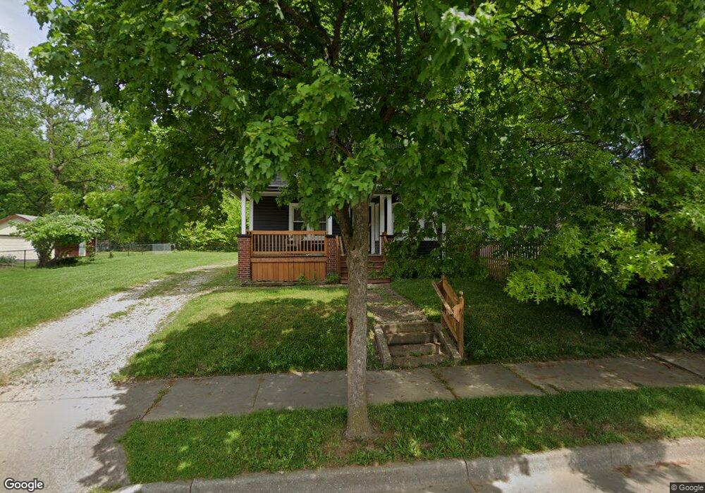
This home is located at 831 Slosson St, Akron, OH 44320 and is currently estimated at $111,260, approximately $153 per square foot. 831 Slosson St is a home located in Summit County with nearby schools including Emmanuel Christian Academy.
Ownership History
We collect this data history from publicly available records. To have your information removed, we recommend requesting removal directly through your county’s website.
Purchase Details
Purchase Details
Purchase Details
Home Values in the Area
Average Home Value in this Area
Purchase History
We collect this data history from publicly available records. To have your information removed, we recommend requesting removal directly through your county’s website.
| Date | Buyer | Sale Price | Title Company |
|---|---|---|---|
| -- | None Available | ||
| -- | None Available | ||
| $4,514 | None Available |
Tax History
We collect this data history from publicly available records. To have your information removed, we recommend requesting removal directly through your county’s website.
| Year | Tax Paid | Tax Assessment Tax Assessment Total Assessment is a certain percentage of the fair market value that is determined by local assessors to be the total taxable value of land and additions on the property. | Land | Improvement |
|---|---|---|---|---|
| 2026 | $3,504 | $29,936 | $6,608 | $23,328 |
| 2025 | $2,473 | $29,936 | $6,608 | $23,328 |
| 2024 | $1,649 | $29,936 | $6,608 | $23,328 |
| 2023 | $2,473 | $29,936 | $6,608 | $23,328 |
| 2022 | $1,425 | $18,694 | $4,004 | $14,690 |
| 2021 | $1,327 | $18,694 | $4,004 | $14,690 |
| 2020 | $1,407 | $18,690 | $4,000 | $14,690 |
| 2019 | $1,220 | $14,400 | $3,980 | $10,420 |
| 2018 | $1,106 | $14,400 | $3,980 | $10,420 |
| 2017 | $1,111 | $14,400 | $3,980 | $10,420 |
| 2016 | $1,111 | $14,630 | $3,980 | $10,650 |
| 2015 | $1,111 | $14,630 | $3,980 | $10,650 |
| 2014 | $1,102 | $14,630 | $3,980 | $10,650 |
| 2013 | $1,182 | $16,120 | $3,980 | $12,140 |
Map
- 797 Stoner St
- 807 Stoner St
- 818 Euclid Ave
- 979 Mercer Ave
- 600 Grace Ave
- 605 East Ave
- 718 Easter Ave
- 934 Packard Dr
- 1043 Slosson St
- 690 Storer Ave
- 1088 Packard Dr
- 733 Bisson Ave
- 667 Dorothy Ave
- 460 Auld Farm Cir
- 777 Ruth Ave
- 572 Auld Farm Cir
- 516 Wildwood Ave
- 1174 Mercer Ave
- 1146 Packard Dr
- 672 Moon St
Ask me questions while you tour the home.