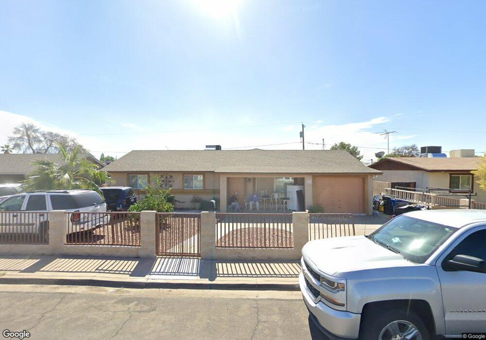
833 E 10th Dr Unit 2 Mesa, AZ 85204
Poinsettia NeighborhoodEstimated Value: $398,000 - $445,000
About This Home
This home is located at 833 E 10th Dr Unit 2, Mesa, AZ 85204 and is currently estimated at $412,343, approximately $218 per square foot. 833 E 10th Dr Unit 2 is a home located in Maricopa County with nearby schools including Holmes Elementary School, Franklin at Brimhall Elementary School, and Franklin West Elementary School.
Ownership History
We collect this data history from publicly available records. To have your information removed, we recommend requesting removal directly through your county’s website.
Purchase Details
Purchase Details
Purchase Details
Purchase Details
Purchase Details
Home Financials for this Owner
Home Financials are based on the most recent Mortgage that was taken out on this home.Purchase Details
Home Financials for this Owner
Home Financials are based on the most recent Mortgage that was taken out on this home.Purchase Details
Home Values in the Area
Average Home Value in this Area
Purchase History
We collect this data history from publicly available records. To have your information removed, we recommend requesting removal directly through your county’s website.
| Date | Buyer | Sale Price | Title Company |
|---|---|---|---|
| -- | None Listed On Document | ||
| -- | None Available | ||
| $57,000 | Security Title Agency | ||
| $124,000 | Accommodation | ||
| -- | Camelback Title Agency Llc | ||
| $137,500 | Arizona Title Agency Inc | ||
| $94,000 | Capital Title Agency |
Mortgage History
We collect this data history from publicly available records. To have your information removed, we recommend requesting removal directly through your county’s website.
| Date | Status | Borrower | Loan Amount |
|---|---|---|---|
| Previous Owner | $20,000 | ||
| Previous Owner | $196,000 | ||
| Previous Owner | $152,000 | ||
| Previous Owner | $133,375 |
Tax History
We collect this data history from publicly available records. To have your information removed, we recommend requesting removal directly through your county’s website.
| Year | Tax Paid | Tax Assessment Tax Assessment Total Assessment is a certain percentage of the fair market value that is determined by local assessors to be the total taxable value of land and additions on the property. | Land | Improvement |
|---|---|---|---|---|
| 2025 | $903 | $10,874 | ||
| 2024 | $913 | $10,356 | ||
| 2023 | $913 | $28,050 | $5,610 | $22,440 |
| 2022 | $893 | $21,470 | $4,290 | $17,180 |
| 2021 | $917 | $21,020 | $4,200 | $16,820 |
| 2020 | $905 | $19,270 | $3,850 | $15,420 |
| 2019 | $839 | $18,260 | $3,650 | $14,610 |
| 2018 | $801 | $16,420 | $3,280 | $13,140 |
| 2017 | $775 | $13,370 | $2,670 | $10,700 |
| 2016 | $761 | $12,400 | $2,480 | $9,920 |
| 2015 | $719 | $11,280 | $2,250 | $9,030 |
Map
- 752 E Glade Ave
- 934 S Pioneer
- 1012 S Stapley Dr Unit 101
- 651 E Glade Ave
- 524 E Millett Ave
- 735 S Spencer
- 1040 E 7th Ave
- 721 E Marilyn Ave
- 626 E Harmony Ave
- 760 S Stapley Dr
- 1303 E Millett Ave
- 615 S Pioneer
- 1030 South Spur
- 1261 E Harmony Cir
- 1505 S Kay Cir Unit 4
- 1341 E Garnet Cir
- 1105 South Spur
- 1320 S Pomeroy
- 252 E 9th Dr
- 1430 E Flossmoor Ave
Ask me questions while you tour the home.