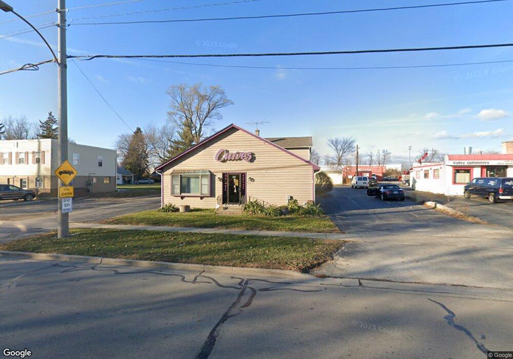
833 E Wilson St Unit FRONT Batavia, IL 60510
Southeast Batavia NeighborhoodEstimated Value: $641,904
Studio
--
Bath
--
Sq Ft
0.3
Acres Lot
About This Home
This home is located at 833 E Wilson St Unit FRONT, Batavia, IL 60510 and is currently priced at $641,904. 833 E Wilson St Unit FRONT is a home located in Kane County with nearby schools including Louise White Elementary School, Sam Rotolo Middle School, and Batavia Sr High School.
Ownership History
Date
Name
Owned For
Owner Type
Purchase Details
Closed on
Dec 26, 2023
Sold by
Fomusa Patricia
Bought by
Vong Sovannary
Current Estimated Value
Home Financials for this Owner
Home Financials are based on the most recent Mortgage that was taken out on this home.
Original Mortgage
$244,000
Outstanding Balance
$148,586
Interest Rate
7.29%
Mortgage Type
Seller Take Back
Purchase Details
Closed on
Sep 27, 2022
Sold by
Jrp Inc
Bought by
Fomusa Patricia
Create a Home Valuation Report for This Property
The Home Valuation Report is an in-depth analysis detailing your home's value as well as a comparison with similar homes in the area
Home Values in the Area
Average Home Value in this Area
Purchase History
We collect this data history from publicly available records. To have your information removed, we recommend requesting removal directly through your county’s website.
| Date | Buyer | Sale Price | Title Company |
|---|---|---|---|
| Vong Sovannary | $294,000 | Fidelity National Title | |
| Fomusa Patricia | -- | -- |
Source: Public Records
Mortgage History
We collect this data history from publicly available records. To have your information removed, we recommend requesting removal directly through your county’s website.
| Date | Status | Borrower | Loan Amount |
|---|---|---|---|
| Open | Vong Sovannary | $244,000 |
Source: Public Records
Tax History
| Year | Tax Paid | Tax Assessment Tax Assessment Total Assessment is a certain percentage of the fair market value that is determined by local assessors to be the total taxable value of land and additions on the property. | Land | Improvement |
|---|---|---|---|---|
| 2024 | $7,911 | $100,063 | $42,739 | $57,324 |
| 2023 | $9,706 | $113,116 | $38,790 | $74,326 |
| 2022 | $9,231 | $105,716 | $36,252 | $69,464 |
| 2021 | $8,888 | $100,262 | $34,382 | $65,880 |
| 2020 | $8,678 | $98,335 | $33,721 | $64,614 |
| 2019 | $8,554 | $94,854 | $32,527 | $62,327 |
| 2018 | $8,232 | $91,241 | $31,288 | $59,953 |
| 2017 | $8,050 | $88,232 | $30,256 | $57,976 |
| 2016 | $7,893 | $85,662 | $29,375 | $56,287 |
| 2015 | -- | $83,711 | $28,706 | $55,005 |
| 2014 | -- | $81,076 | $27,802 | $53,274 |
| 2013 | -- | $79,495 | $27,260 | $52,235 |
Source: Public Records
Map
Nearby Homes
- 1025 E Wilson St
- Lot 1 Center St
- 261 Johnson Woods Dr
- 845 Hanson Ct
- 804 Elizabeth St
- 637 E Wilson St
- 201 Violet Ln
- 1098 Cleveland Ave
- 532 Webster St
- 272 S Forest Ave
- 432 Church St
- 424 S Forest Ave
- 701 Viking Dr
- 635 Kingsbury Ct Unit 4
- 908 Knox Ln
- 627 Park St
- 847 Woodland Hills Rd
- 803 N Washington Ave
- 375 Douglas Rd
- Lot 4 Manchester Ave
- 833 E Wilson St
- 827 E Wilson St Unit B
- 825 E Wilson St Unit 2
- 821 E Wilson St
- 25 Cottonwood Cir
- 15 Cottonwood Cir
- 35 Cottonwood Cir
- 815 E Wilson St
- 3S199 S Raddant Rd
- 5 Cottonwood Cir
- 809 E Wilson St
- 807 E Wilson St
- 20 Cottonwood Cir
- 805 E Wilson St
- 30 Cottonwood Cir
- 10 S Raddant Rd
- 10 Cottonwood Cir
- 40 Cottonwood Cir
- 20 S Raddant Rd
- 913 E Wilson St
Your Personal Tour Guide
Ask me questions while you tour the home.