Estimated Value: $76,000 - $102,000
2
Beds
1
Bath
832
Sq Ft
$107/Sq Ft
Est. Value
About This Home
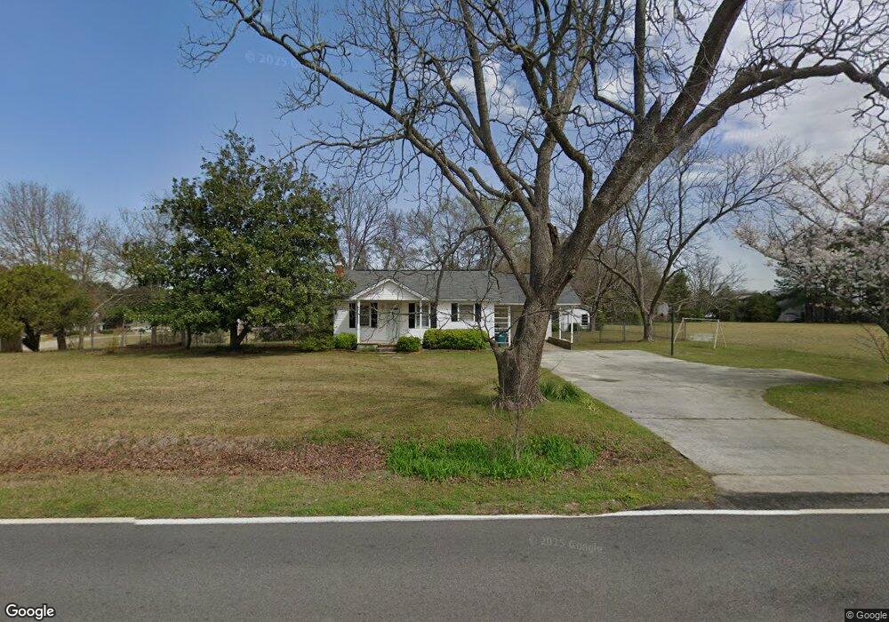
This home is located at 833 Kay Rd, Byron, GA 31008 and is currently estimated at $88,630, approximately $106 per square foot. 833 Kay Rd is a home located in Peach County with nearby schools including Kay Road Elementary School, Fort Valley Middle School, and Peach County High School.
Ownership History
Date
Name
Owned For
Owner Type
Purchase Details
Closed on
Oct 20, 2022
Sold by
Martin Sonya
Bought by
Vining Creek Enterprises Llc
Current Estimated Value
Purchase Details
Closed on
Jul 7, 1999
Sold by
Sullivan Sarah E
Bought by
Sullivan Sarah E and Martin Sonya S
Purchase Details
Closed on
May 27, 1999
Sold by
Barker Barker R and Barker Esther
Bought by
Sullivan Sarah E
Purchase Details
Closed on
Dec 19, 1970
Bought by
Barker Barker R and Barker Esther A
Create a Home Valuation Report for This Property
The Home Valuation Report is an in-depth analysis detailing your home's value as well as a comparison with similar homes in the area
Home Values in the Area
Average Home Value in this Area
Purchase History
We collect this data history from publicly available records. To have your information removed, we recommend requesting removal directly through your county’s website.
| Date | Buyer | Sale Price | Title Company |
|---|---|---|---|
| Vining Creek Enterprises Llc | $52,000 | -- | |
| Sullivan Sarah E | -- | -- | |
| Sullivan Sarah E | $61,500 | -- | |
| Barker Barker R | -- | -- |
Source: Public Records
Tax History
| Year | Tax Paid | Tax Assessment Tax Assessment Total Assessment is a certain percentage of the fair market value that is determined by local assessors to be the total taxable value of land and additions on the property. | Land | Improvement |
|---|---|---|---|---|
| 2025 | $742 | $20,800 | $8,760 | $12,040 |
| 2024 | $407 | $20,640 | $9,040 | $11,600 |
| 2023 | $204 | $20,560 | $9,040 | $11,520 |
| 2022 | $391 | $19,000 | $9,040 | $9,960 |
| 2021 | $403 | $17,840 | $9,040 | $8,800 |
| 2020 | $461 | $21,840 | $9,040 | $12,800 |
| 2019 | $457 | $21,480 | $9,040 | $12,440 |
| 2018 | $458 | $21,480 | $9,040 | $12,440 |
| 2017 | $459 | $21,480 | $9,040 | $12,440 |
| 2016 | $458 | $21,480 | $9,040 | $12,440 |
| 2015 | $458 | $21,480 | $9,040 | $12,440 |
| 2014 | $458 | $21,480 | $9,040 | $12,440 |
| 2013 | -- | $21,480 | $9,040 | $12,440 |
Source: Public Records
Map
Nearby Homes
- 450 Jones Rd
- 0 Barker Rd Unit 243030
- 0 Barker Rd Unit 14258525
- 0 Barker Rd Unit 175053
- 146 Hawks Ridge Trace
- 105 Brooke Ct
- 109 Red Tail Cir
- 109 Hawks Ridge Trace
- 107 Justin Dr
- 161 Rowland Cir
- 538 Southland Trail
- 518 Southland Trail
- 411 Dixieland Dr
- 510 Southland Trail
- 103 June Crest Ct
- 420 Southland Trail
- 4682 Housers Mill Rd
- 117 Early Dr
- 124 Bluecoat Trail
- 122 Bluecoat Trail
Your Personal Tour Guide
Ask me questions while you tour the home.