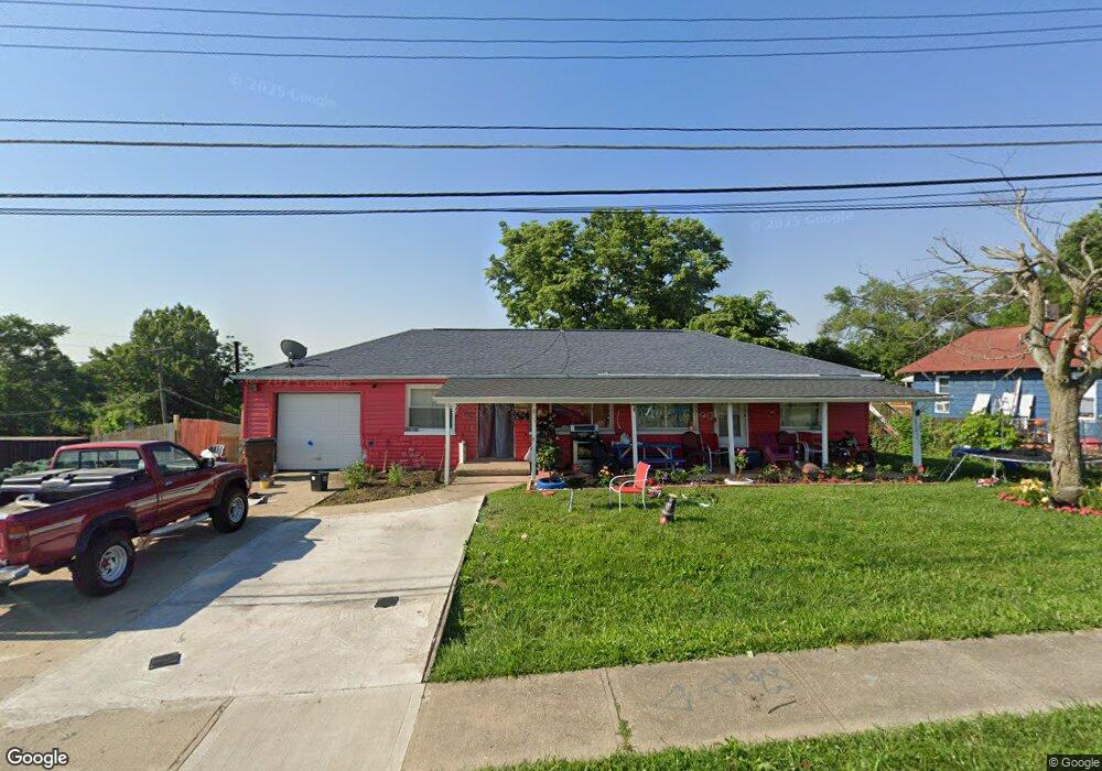
833 Lindy Ave Cincinnati, OH 45215
Lincoln Heights AreaEstimated Value: $77,000 - $119,293
About This Home
This home is located at 833 Lindy Ave, Cincinnati, OH 45215 and is currently estimated at $97,323, approximately $92 per square foot. 833 Lindy Ave is a home located in Hamilton County with nearby schools including Lincoln Heights Elementary School, Princeton Community Middle School, and Princeton High School.
Ownership History
We collect this data history from publicly available records. To have your information removed, we recommend requesting removal directly through your county’s website.
Purchase Details
Purchase Details
Purchase Details
Purchase Details
Home Values in the Area
Average Home Value in this Area
Purchase History
We collect this data history from publicly available records. To have your information removed, we recommend requesting removal directly through your county’s website.
| Date | Buyer | Sale Price | Title Company |
|---|---|---|---|
| $30,000 | None Available | ||
| -- | None Available | ||
| $15,500 | Contract Processing & Title | ||
| $20,000 | -- |
Tax History
We collect this data history from publicly available records. To have your information removed, we recommend requesting removal directly through your county’s website.
| Year | Tax Paid | Tax Assessment Tax Assessment Total Assessment is a certain percentage of the fair market value that is determined by local assessors to be the total taxable value of land and additions on the property. | Land | Improvement |
|---|---|---|---|---|
| 2025 | $1,298 | $16,423 | $1,824 | $14,599 |
| 2023 | $1,082 | $16,423 | $1,824 | $14,599 |
| 2022 | $892 | $8,814 | $1,824 | $6,990 |
| 2021 | $872 | $8,814 | $1,824 | $6,990 |
| 2020 | $911 | $8,814 | $1,824 | $6,990 |
| 2019 | $961 | $8,814 | $1,824 | $6,990 |
| 2018 | $931 | $8,814 | $1,824 | $6,990 |
| 2017 | $907 | $8,814 | $1,824 | $6,990 |
| 2016 | $1,009 | $11,218 | $2,345 | $8,873 |
| 2015 | $1,065 | $11,218 | $2,345 | $8,873 |
| 2014 | $1,070 | $11,218 | $2,345 | $8,873 |
| 2013 | $1,301 | $14,022 | $2,930 | $11,092 |
Map
- 922 Chamberlain Ave
- 1001 Byrd Ave
- 955 Simmons Ave
- 9564 Wayne Ave
- 1360 Byrd Ave
- 1373 Byrd Ave
- 1427 N Park Ave
- 1518 Maple Ave
- 1186 Shepherd Ln
- 1525 Maple Ave
- 1207 Terry Ct
- 10124 Chester Rd
- 409 Home Ave
- 1063 Oak Ave
- 26 Chestnut Ave
- 10152 Chester Rd
- 107 Jonte Ave
- 107 Jonte Ave
- 7 Ritchie Ave
- 1125 Timberland Dr
- 823 Lindy Ave
- 832 Chamberlain Ave
- 822 Chamberlain Ave
- 0 Steffan Ave Unit 1169453
- 800 Chamberlain Ave
- 870 Chamberlain Ave
- 0 Chamberlain Ave Unit 1586138
- 0 Chamberlain Ave Unit 1169493
- 0 Chamberlain Ave Unit 1286127
- 876 Chamberlain Ave
- 756 Chamberlain Ave
- 739 Lindy Ave
- 911 Lindy Ave
- 801 Chamberlain Ave
- 833 Chamberlain Ave
- 901 Lindy Ave
- 754 Chamberlain Ave
- 900 Chamberlain Ave
- 793 Chamberlain Ave
- 752 Chamberlain Ave
Ask me questions while you tour the home.