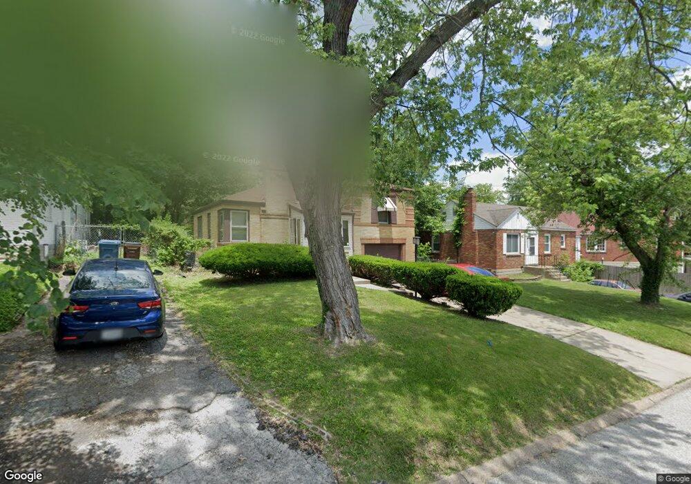
833 Margo Ave Saint Louis, MO 63135
Estimated Value: $72,599 - $104,000
2
Beds
1
Bath
914
Sq Ft
$95/Sq Ft
Est. Value
About This Home
This home is located at 833 Margo Ave, Saint Louis, MO 63135 and is currently estimated at $86,900, approximately $95 per square foot. 833 Margo Ave is a home located in St. Louis County with nearby schools including Central Elementary School, Ferguson Middle School, and McCluer High School.
Ownership History
Date
Name
Owned For
Owner Type
Purchase Details
Closed on
Nov 12, 2010
Sold by
Lutheran Senior Services
Bought by
Porter G Leston
Current Estimated Value
Home Financials for this Owner
Home Financials are based on the most recent Mortgage that was taken out on this home.
Original Mortgage
$30,400
Outstanding Balance
$20,057
Interest Rate
4.27%
Mortgage Type
New Conventional
Estimated Equity
$66,843
Purchase Details
Closed on
Dec 11, 2009
Sold by
Schroeder Julice H
Bought by
Lutheran Senior Services
Create a Home Valuation Report for This Property
The Home Valuation Report is an in-depth analysis detailing your home's value as well as a comparison with similar homes in the area
Home Values in the Area
Average Home Value in this Area
Purchase History
| Date | Buyer | Sale Price | Title Company |
|---|---|---|---|
| Porter G Leston | $38,000 | Ctc | |
| Lutheran Senior Services | -- | None Available |
Source: Public Records
Mortgage History
| Date | Status | Borrower | Loan Amount |
|---|---|---|---|
| Open | Porter G Leston | $30,400 |
Source: Public Records
Tax History
| Year | Tax Paid | Tax Assessment Tax Assessment Total Assessment is a certain percentage of the fair market value that is determined by local assessors to be the total taxable value of land and additions on the property. | Land | Improvement |
|---|---|---|---|---|
| 2025 | $858 | $11,040 | $1,060 | $9,980 |
| 2024 | $858 | $11,650 | $1,430 | $10,220 |
| 2023 | $854 | $11,650 | $1,430 | $10,220 |
| 2022 | $695 | $8,200 | $1,060 | $7,140 |
| 2021 | $673 | $8,200 | $1,060 | $7,140 |
| 2020 | $560 | $6,080 | $1,100 | $4,980 |
| 2019 | $550 | $6,080 | $1,100 | $4,980 |
| 2018 | $669 | $6,670 | $1,120 | $5,550 |
| 2016 | $445 | $4,350 | $1,460 | $2,890 |
Source: Public Records
Map
Nearby Homes
- 106 Henquin Dr
- 129 N Dade Ave
- 222 Henquin Dr
- 6005 Shillington Dr
- 6135 Shillington Dr
- 138 N Marguerite Ave
- 308 Henquin Dr
- 15 N Harvey Ave
- 324 Henquin Dr
- 22 N Harvey Ave
- 310 N Marguerite Ave
- 6006 Cascade Dr
- 8127 Airport Rd
- 411 Warford Ave
- 8143 Airport Rd
- 6314 Peurifoy Ave
- 415 Wesley Ave
- 220 S Marguerite Ave
- 226 S Marguerite Ave
- 115 Lawrence Ave
Your Personal Tour Guide
Ask me questions while you tour the home.