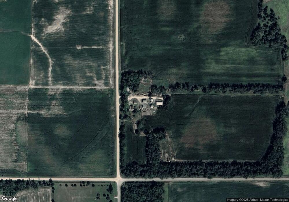
83820 550th Ave Norfolk, NE 68701
Estimated Value: $320,000 - $497,365
Studio
2
Baths
1,564
Sq Ft
$275/Sq Ft
Est. Value
About This Home
This home is located at 83820 550th Ave, Norfolk, NE 68701 and is currently estimated at $429,341, approximately $274 per square foot. 83820 550th Ave is a home located in Madison County with nearby schools including Battle Creek Elementary School and Battle Creek High School.
Ownership History
Date
Name
Owned For
Owner Type
Purchase Details
Closed on
Oct 30, 2020
Sold by
Trust Inter Vivos
Bought by
Flatrock Group Llc
Current Estimated Value
Purchase Details
Closed on
Jun 11, 2020
Sold by
Trust Inter Vivos
Bought by
Flatrock Group Llc
Purchase Details
Closed on
Jun 4, 2020
Sold by
Trust Inter Vivos
Bought by
Flatrock Group Llc
Purchase Details
Closed on
May 2, 2007
Sold by
Sellin Peggy S
Bought by
Sellin Randall and Sellin Peggy
Purchase Details
Closed on
Dec 28, 2006
Sold by
Knull Karl B
Bought by
Sellin Peggy S
Purchase Details
Closed on
Dec 18, 2006
Sold by
Knull Karl B and Knull Nadine M
Bought by
Knull Karl B
Create a Home Valuation Report for This Property
The Home Valuation Report is an in-depth analysis detailing your home's value as well as a comparison with similar homes in the area
Purchase History
| Date | Buyer | Sale Price | Title Company |
|---|---|---|---|
| Flatrock Group Llc | -- | Ambassador Title | |
| Flatrock Group Llc | -- | Ambassador Title | |
| Flatrock Group Llc | -- | Ambassador Title | |
| Flatrock Group Llc | -- | Ambassador Title | |
| Sellin Randall | -- | -- | |
| Sellin Peggy S | -- | -- | |
| Knull Karl B | -- | -- |
Source: Public Records
Tax History
| Year | Tax Paid | Tax Assessment Tax Assessment Total Assessment is a certain percentage of the fair market value that is determined by local assessors to be the total taxable value of land and additions on the property. | Land | Improvement |
|---|---|---|---|---|
| 2025 | $3,076 | $376,924 | $249,899 | $127,025 |
| 2024 | $3,076 | $359,964 | $247,374 | $112,590 |
| 2023 | $4,340 | $320,906 | $220,134 | $100,772 |
| 2022 | $3,903 | $288,346 | $194,544 | $93,802 |
| 2021 | $3,093 | $234,359 | $176,003 | $58,356 |
| 2020 | $3,064 | $234,359 | $176,003 | $58,356 |
| 2019 | $3,052 | $235,140 | $176,784 | $58,356 |
| 2018 | $2,415 | $238,640 | $184,784 | $53,856 |
| 2017 | $3,013 | $243,692 | $192,932 | $50,760 |
| 2016 | $4,200 | $320,320 | $272,401 | $47,919 |
| 2015 | $4,161 | $320,320 | $272,401 | $47,919 |
| 2014 | $5,107 | $363,394 | $318,081 | $45,313 |
| 2013 | $5,359 | $325,942 | $280,629 | $45,313 |
Source: Public Records
Map
Nearby Homes
- 5305 W South Airport Rd
- 5105 W Sherwood Rd
- 0 See Legal Unit 250827
- S 61 ST W Omaha Ave
- W Omaha AVE S 61st St
- 54661 Chardan Dr
- 000 836th 1 2 Rd
- 106 N Boyer St
- 0 See Legal Unit 260207
- 0 See Legal Unit 260208
- 900 S 4th St
- 3507 Bradford Ave
- 3407 Bradford Ave
- 3506 Bradford Ave
- 3900 Madison Ave
- 3211 N 49th St
- 0000 S 25th St
- 2500 W Pasewalk
- 4501 N Deer Run Dr
- 4801 N Deer Run Dr
Your Personal Tour Guide
Ask me questions while you tour the home.