84 Brookside Rd Bourne, MA 02532
Monument Beach NeighborhoodEstimated Value: $662,000 - $752,000
2
Beds
2
Baths
2,045
Sq Ft
$346/Sq Ft
Est. Value
About This Home
This home is located at 84 Brookside Rd, Bourne, MA 02532 and is currently estimated at $706,837, approximately $345 per square foot. 84 Brookside Rd is a home located in Barnstable County with nearby schools including Bourne High School, St Margaret Regional School, and Cadence Academy Preschool - Bourne.
Ownership History
Date
Name
Owned For
Owner Type
Purchase Details
Closed on
Aug 4, 2016
Sold by
Jarvis Barbara A and Jarvis Edward T
Bought by
Jarvis Ft
Current Estimated Value
Purchase Details
Closed on
Apr 29, 2011
Sold by
Brookside Residential
Bought by
Jarvis Barbara A
Home Financials for this Owner
Home Financials are based on the most recent Mortgage that was taken out on this home.
Original Mortgage
$125,000
Interest Rate
4.76%
Mortgage Type
Purchase Money Mortgage
Purchase Details
Closed on
Dec 15, 2010
Sold by
Brookside Res Llc
Bought by
Dardenne Patrice L and Dardenne Roxanne L
Home Financials for this Owner
Home Financials are based on the most recent Mortgage that was taken out on this home.
Original Mortgage
$324,000
Interest Rate
4.23%
Mortgage Type
Purchase Money Mortgage
Create a Home Valuation Report for This Property
The Home Valuation Report is an in-depth analysis detailing your home's value as well as a comparison with similar homes in the area
Home Values in the Area
Average Home Value in this Area
Purchase History
| Date | Buyer | Sale Price | Title Company |
|---|---|---|---|
| Jarvis Ft | -- | -- | |
| Jarvis Barbara A | $412,500 | -- | |
| Dardenne Patrice L | $405,000 | -- |
Source: Public Records
Mortgage History
| Date | Status | Borrower | Loan Amount |
|---|---|---|---|
| Previous Owner | Jarvis Barbara A | $125,000 | |
| Previous Owner | Dardenne Patrice L | $324,000 |
Source: Public Records
Tax History
| Year | Tax Paid | Tax Assessment Tax Assessment Total Assessment is a certain percentage of the fair market value that is determined by local assessors to be the total taxable value of land and additions on the property. | Land | Improvement |
|---|---|---|---|---|
| 2025 | $5,386 | $689,600 | $0 | $689,600 |
| 2024 | $5,122 | $638,700 | $0 | $638,700 |
| 2023 | $5,031 | $571,000 | $0 | $571,000 |
| 2022 | $4,925 | $488,100 | $0 | $488,100 |
| 2021 | $4,965 | $461,000 | $0 | $461,000 |
| 2020 | $4,945 | $460,400 | $0 | $460,400 |
| 2019 | $4,888 | $465,100 | $0 | $465,100 |
| 2018 | $4,808 | $456,200 | $0 | $456,200 |
| 2017 | $4,890 | $474,800 | $0 | $474,800 |
| 2016 | $4,664 | $459,100 | $0 | $459,100 |
| 2015 | $4,304 | $427,400 | $0 | $427,400 |
Source: Public Records
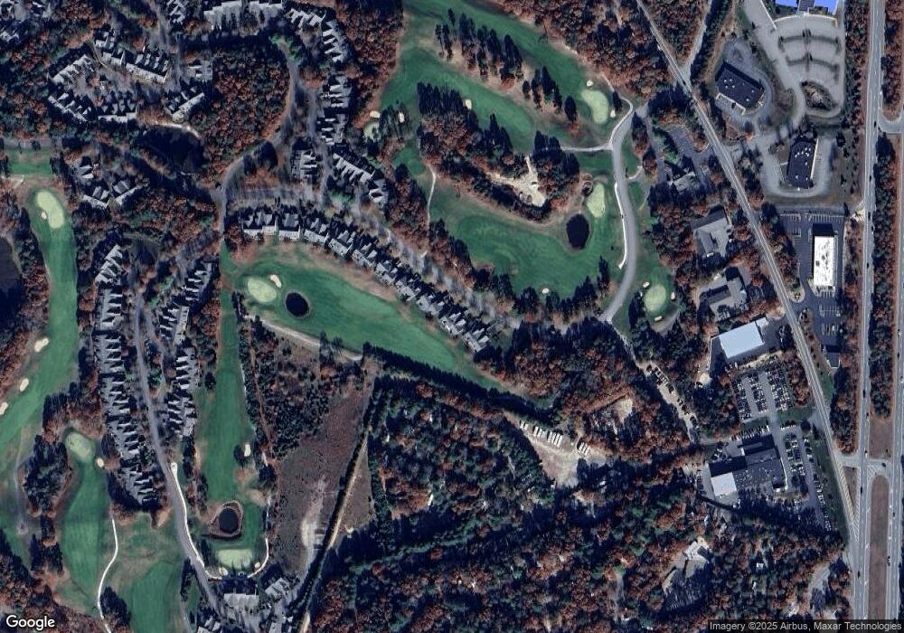
Map
Nearby Homes
- 4 Hollyhock Knoll Ct Unit 4
- 4 Hollyhock Knoll Ct Unit 4
- 5 Blue Meadow Ct Unit 5
- 12 Turnberry Rd Unit 12
- 16 Amberwood Ct
- 2 Applewood Ct
- 405 Village Dr Unit 405
- 27 Surrey Ln Unit 27
- 5 Harbor Hill Dr
- 4 Harbor Hill Dr
- 13 Laurel Hill Ct
- 5 Zoli Ln
- 77 Roundhouse Rd Unit 77
- 44 Cotuit Rd
- 17 Colony Ave
- 60 Sandwich Rd
- 10 Howard Ave
- 10 Howard Ave
- 3 Honora Ln Unit 3
- 38 Old Bridge Rd
- 84 Brookside Rd
- 86 Brookside Rd
- 84 Brookside Rd Unit 207
- 82 Brookside Rd
- 80 Brookside Rd
- 80 Brookside Rd Unit 205
- 80 Brookside Rd
- 82 Brookside Rd
- 90 Brookside Rd
- 90 Brookside Rd Unit 210
- 88 Brookside Rd Unit 209
- 88 Brookside Rd
- 90 Brookside Rd
- 78 Brookside Rd
- 76 Brookside Rd
- 78 Brookside Rd Unit 204
- 76 Brookside Rd Unit 203
- 78 Brookside Rd
- 76 Brookside Rd Unit 75
- 74 Brookside Rd
Your Personal Tour Guide
Ask me questions while you tour the home.