84 McDew Rd Hazlehurst, GA 31539
Estimated Value: $106,000 - $194,000
2
Beds
1
Bath
1,060
Sq Ft
$142/Sq Ft
Est. Value
About This Home
This home is located at 84 McDew Rd, Hazlehurst, GA 31539 and is currently estimated at $150,131, approximately $141 per square foot. 84 McDew Rd is a home with nearby schools including Jeff Davis Primary School, Jeff Davis Elementary School, and Jeff Davis Middle School.
Ownership History
Date
Name
Owned For
Owner Type
Purchase Details
Closed on
Mar 26, 2010
Sold by
Harrell Linda Kay
Bought by
Harrell Ronnie E
Current Estimated Value
Purchase Details
Closed on
Jul 8, 2004
Sold by
Buchanan Sheila
Bought by
Harrell Linda Kay and Christa Mae
Purchase Details
Closed on
Jun 28, 2004
Sold by
Buchanan Sheila
Bought by
Harrell Linda Kay and Christa Mae
Purchase Details
Closed on
May 12, 2004
Sold by
Buchanan Shelia L
Bought by
Harrell Linda Kay and Christa Mae
Purchase Details
Closed on
Jul 26, 2001
Sold by
Mcdew Henry
Bought by
Buchanan Shelia L
Purchase Details
Closed on
Jan 1, 1960
Bought by
Mcdew Henry
Create a Home Valuation Report for This Property
The Home Valuation Report is an in-depth analysis detailing your home's value as well as a comparison with similar homes in the area
Home Values in the Area
Average Home Value in this Area
Purchase History
| Date | Buyer | Sale Price | Title Company |
|---|---|---|---|
| Harrell Ronnie E | -- | -- | |
| Harrell Linda Kay | -- | -- | |
| Harrell Linda Kay | $6,000 | -- | |
| Harrell Linda Kay | $6,300 | -- | |
| Buchanan Shelia L | -- | -- | |
| Mcdew Henry | -- | -- |
Source: Public Records
Tax History
| Year | Tax Paid | Tax Assessment Tax Assessment Total Assessment is a certain percentage of the fair market value that is determined by local assessors to be the total taxable value of land and additions on the property. | Land | Improvement |
|---|---|---|---|---|
| 2025 | $656 | $37,464 | $23,381 | $14,083 |
| 2024 | $706 | $37,464 | $24,080 | $13,384 |
| 2023 | $501 | $19,201 | $11,182 | $8,019 |
| 2022 | $494 | $19,201 | $11,182 | $8,019 |
| 2021 | $488 | $19,201 | $11,182 | $8,019 |
| 2020 | $500 | $19,820 | $11,182 | $8,638 |
| 2019 | $494 | $19,820 | $11,182 | $8,638 |
| 2018 | $464 | $19,820 | $11,182 | $8,638 |
| 2017 | $440 | $19,473 | $11,182 | $8,291 |
| 2016 | $427 | $19,473 | $11,182 | $8,291 |
| 2015 | -- | $19,473 | $11,182 | $8,291 |
| 2014 | -- | $19,461 | $11,182 | $8,279 |
Source: Public Records
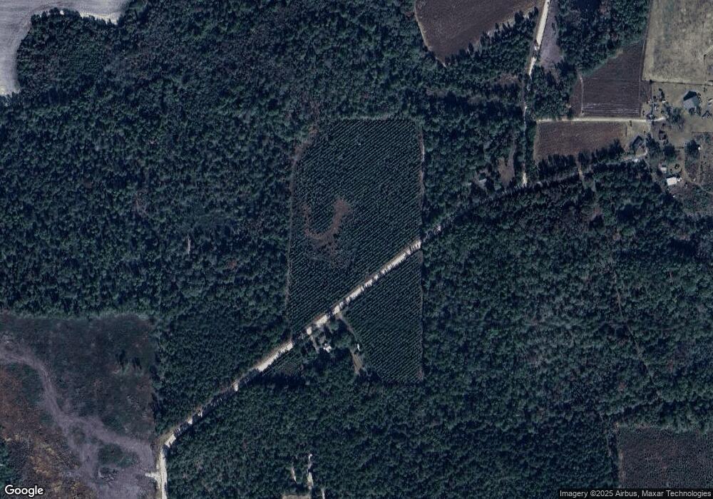
Map
Nearby Homes
- 157 Walters Harrell Rd
- 1242 Broxton Hwy
- 147 McLoon Rd
- 120 Elizabeth Church Rd
- 1832 Douglas Hwy
- TRACT 3 Rhonda Coleman Rd
- TRACT 2 Rhonda Coleman Rd
- 77 Jimmy Boatright Dr
- 164 1st Rd
- 445 Douglas Hwy
- 15 Dogwood Rd
- 16 Beech Rd
- 393 Douglas Hwy
- 371 Burketts Ferry Rd
- 27 Park Ln
- 3439 E River Rd
- 42 Claxton Rd
- 79 Hester Rd
- 201 Burketts Ferry Rd
- 260 Mathis Rd
- 23 McDew Rd
- 23 McDew Rd
- 123 McDew Rd
- 262 Mathis Rd
- 211 Mathis Rd
- 23 Walters Harrell Rd
- 82 Walters Harrell Rd
- 61 Walters Harrell Rd
- 82 Walters Harrell Rd
- 339 Mathis Rd
- 356 Mathis Rd
- 336 McLoon Rd
- 372 Mathis Rd
- 386 Mathis Rd
- 78 Glenn Colson Rd
- 40 Azalea Ln
- 109 Walters Harrell Rd
- 111 Mathis Rd
- 424 Mathis Rd
Your Personal Tour Guide
Ask me questions while you tour the home.