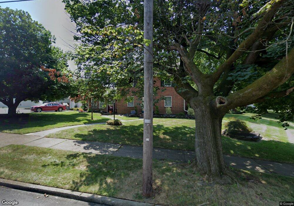
840 E Langhorne Ave Bethlehem, PA 18017
Northeast Bethlehem NeighborhoodEstimated Value: $398,343 - $530,000
3
Beds
3
Baths
2,432
Sq Ft
$185/Sq Ft
Est. Value
About This Home
This home is located at 840 E Langhorne Ave, Bethlehem, PA 18017 and is currently estimated at $449,836, approximately $184 per square foot. 840 E Langhorne Ave is a home located in Northampton County with nearby schools including Spring Garden Elementary School, Northeast Middle School, and Liberty High School.
Ownership History
Date
Name
Owned For
Owner Type
Purchase Details
Closed on
Aug 27, 2016
Sold by
Adams Thomas A and Adams Catherine S
Bought by
Adams Catherine S
Current Estimated Value
Home Financials for this Owner
Home Financials are based on the most recent Mortgage that was taken out on this home.
Original Mortgage
$387,000
Interest Rate
4.52%
Mortgage Type
Reverse Mortgage Home Equity Conversion Mortgage
Create a Home Valuation Report for This Property
The Home Valuation Report is an in-depth analysis detailing your home's value as well as a comparison with similar homes in the area
Home Values in the Area
Average Home Value in this Area
Purchase History
| Date | Buyer | Sale Price | Title Company |
|---|---|---|---|
| Adams Catherine S | -- | Fnc Title Services Llc |
Source: Public Records
Mortgage History
| Date | Status | Borrower | Loan Amount |
|---|---|---|---|
| Closed | Adams Catherine S | $387,000 |
Source: Public Records
Tax History
| Year | Tax Paid | Tax Assessment Tax Assessment Total Assessment is a certain percentage of the fair market value that is determined by local assessors to be the total taxable value of land and additions on the property. | Land | Improvement |
|---|---|---|---|---|
| 2026 | $765 | $70,800 | $20,500 | $50,300 |
| 2025 | $765 | $70,800 | $20,500 | $50,300 |
| 2024 | $6,258 | $70,800 | $20,500 | $50,300 |
| 2023 | $6,258 | $70,800 | $20,500 | $50,300 |
| 2022 | $6,209 | $70,800 | $20,500 | $50,300 |
| 2021 | $6,167 | $70,800 | $20,500 | $50,300 |
| 2020 | $6,109 | $70,800 | $20,500 | $50,300 |
| 2019 | $6,088 | $70,800 | $20,500 | $50,300 |
| 2018 | $5,940 | $70,800 | $20,500 | $50,300 |
| 2017 | $5,629 | $67,900 | $20,500 | $47,400 |
| 2016 | -- | $67,900 | $20,500 | $47,400 |
| 2015 | -- | $67,900 | $20,500 | $47,400 |
| 2014 | -- | $67,900 | $20,500 | $47,400 |
Source: Public Records
Map
Nearby Homes
- 1031 Decatur St
- 2145 Henderson St
- 2109 Kemmerer St
- 2236 Lincoln St
- 512 Forrest Ave
- 1137 Lynnhurst Place
- 449 Elmhurst Ave
- 1969 Easton Ave
- 1510 Covington Place
- 436 E MacAda Rd
- 2919 West Blvd
- 2152 East Blvd
- 1648 Angela Dr
- 935 Marion St
- 1728 Butztown Rd Unit C1
- 1740 Butztown Rd
- 2713 Center St
- 936 Marion St
- 1608 Millard St
- 2821 Center St
- 2462 Langhorne Dr
- 2465 Linden St
- 2479 Linden St
- 2457 Linden St
- 2454 Langhorne Dr
- 2465 Langhorne Dr
- 2451 Linden St
- 837 E Langhorne Ave
- 847 E Langhorne Ave
- 2505 Linden St
- 2453 Langhorne Dr
- 2443 Linden St
- 2444 Langhorne Dr
- 2507 Linden St
- 2466 Woodstock Dr
- 2450 Woodstock Dr
- 2429 Linden St
- 2436 Langhorne Dr
- 2521 Linden St
- 2440 Woodstock Dr
Your Personal Tour Guide
Ask me questions while you tour the home.