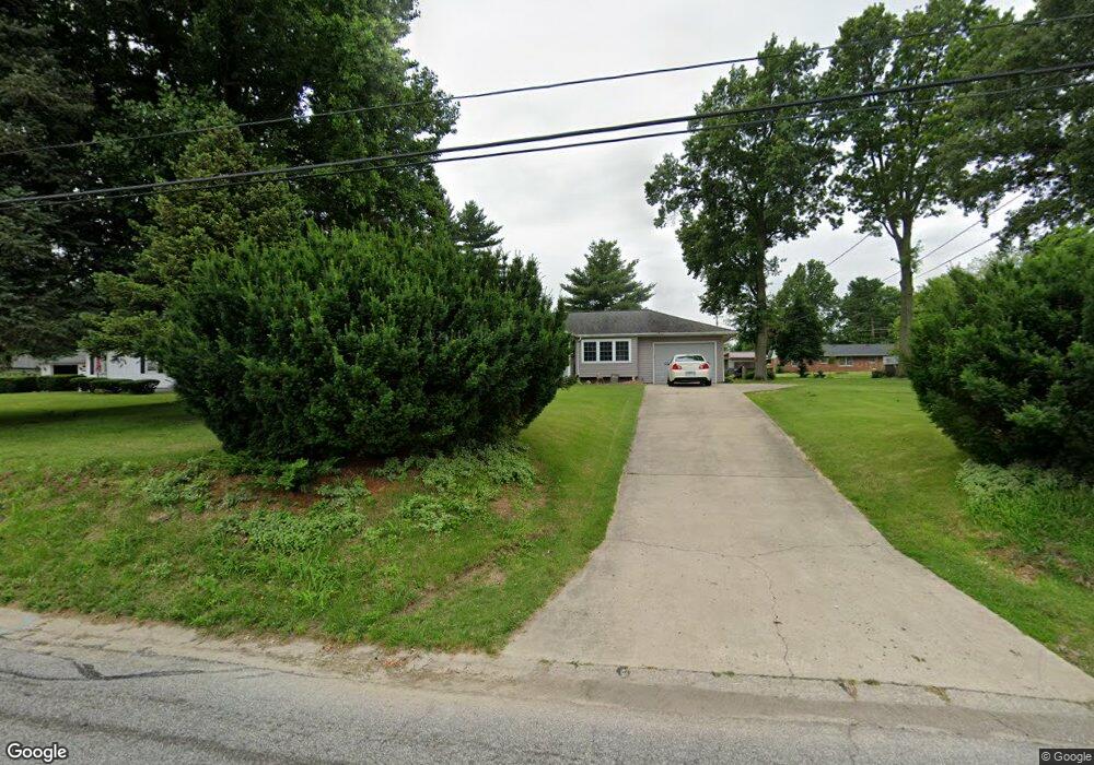
841 Ostle Dr Collinsville, IL 62234
Collinsville AreaEstimated Value: $156,420 - $206,000
About This Home
This home is located at 841 Ostle Dr, Collinsville, IL 62234 and is currently estimated at $185,605, approximately $155 per square foot. 841 Ostle Dr is a home located in Madison County with nearby schools including Summit Elementary School, Dorris Intermediate School, and Collinsville Middle School.
Ownership History
We collect this data history from publicly available records. To have your information removed, we recommend requesting removal directly through your county’s website.
Purchase Details
Home Financials for this Owner
Home Financials are based on the most recent Mortgage that was taken out on this home.Home Values in the Area
Average Home Value in this Area
Purchase History
We collect this data history from publicly available records. To have your information removed, we recommend requesting removal directly through your county’s website.
| Date | Buyer | Sale Price | Title Company |
|---|---|---|---|
| $100,000 | Abstracts & Titles Inc |
Mortgage History
We collect this data history from publicly available records. To have your information removed, we recommend requesting removal directly through your county’s website.
| Date | Status | Borrower | Loan Amount |
|---|---|---|---|
| Open | $68,900 | ||
| Closed | $80,000 |
Tax History
We collect this data history from publicly available records. To have your information removed, we recommend requesting removal directly through your county’s website.
| Year | Tax Paid | Tax Assessment Tax Assessment Total Assessment is a certain percentage of the fair market value that is determined by local assessors to be the total taxable value of land and additions on the property. | Land | Improvement |
|---|---|---|---|---|
| 2025 | $2,829 | $51,180 | $14,290 | $36,890 |
| 2024 | $2,880 | $51,050 | $14,250 | $36,800 |
| 2023 | $2,880 | $47,250 | $13,190 | $34,060 |
| 2022 | $2,715 | $43,700 | $12,200 | $31,500 |
| 2021 | $2,421 | $41,050 | $11,460 | $29,590 |
| 2020 | $2,258 | $38,350 | $10,670 | $27,680 |
| 2019 | $2,184 | $37,040 | $10,310 | $26,730 |
| 2018 | $2,122 | $35,090 | $9,770 | $25,320 |
| 2017 | $2,116 | $34,400 | $9,580 | $24,820 |
| 2016 | $2,219 | $34,400 | $9,580 | $24,820 |
| 2015 | $2,305 | $33,500 | $9,330 | $24,170 |
| 2014 | $2,305 | $33,500 | $9,330 | $24,170 |
| 2013 | $2,305 | $33,500 | $9,330 | $24,170 |
Map
- 590 Watch Hill Rd
- 193 Beverly Ln
- 13 Briarcliffe Dr
- 1028 Alco Dr
- 122 Westridge Ct
- 1800 Ramada Blvd Unit E
- 1051 Lafayette Ct
- 1418 W Main St
- 115 Sandridge Dr Unit 5
- 119 Westwood St
- 1103 Powell Ave
- 12 Summit Trail Ct
- 130 Sandridge Dr Unit 59
- 719 Summit Ave
- 126 S Jefferson Ave
- 319 Sycamore St
- 0 Elm St
- 325 Sumner Blvd
- 119 N Hesperia St
- 801 Strong Ave
Ask me questions while you tour the home.