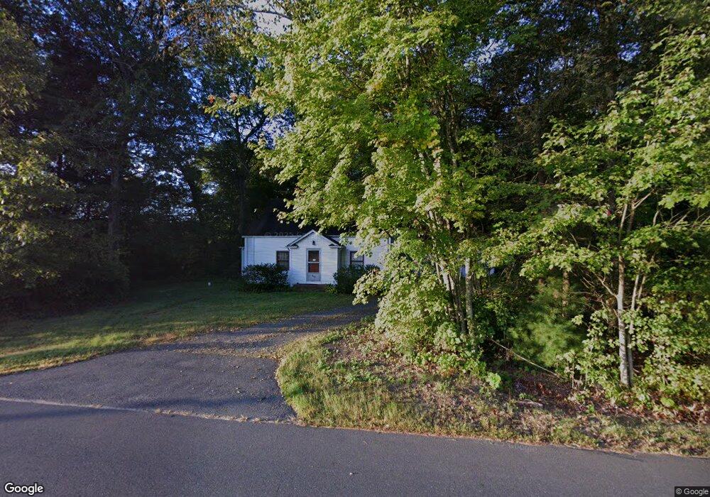
842 Stone Rd Windsor, CT 06095
West Windsor NeighborhoodEstimated Value: $335,197 - $369,000
4
Beds
2
Baths
1,165
Sq Ft
$301/Sq Ft
Est. Value
About This Home
This home is located at 842 Stone Rd, Windsor, CT 06095 and is currently estimated at $350,549, approximately $300 per square foot. 842 Stone Rd is a home located in Hartford County with nearby schools including Poquonock Elementary School, Clover Street School, and Sage Park Middle School.
Ownership History
Date
Name
Owned For
Owner Type
Purchase Details
Closed on
Apr 3, 2003
Sold by
Burns John and Rao Maria
Bought by
Burns John
Current Estimated Value
Purchase Details
Closed on
Jun 6, 1994
Sold by
Kuraitis Jeanne
Bought by
Burns John and Rao Maria
Home Financials for this Owner
Home Financials are based on the most recent Mortgage that was taken out on this home.
Original Mortgage
$118,500
Interest Rate
2%
Mortgage Type
Purchase Money Mortgage
Create a Home Valuation Report for This Property
The Home Valuation Report is an in-depth analysis detailing your home's value as well as a comparison with similar homes in the area
Home Values in the Area
Average Home Value in this Area
Purchase History
| Date | Buyer | Sale Price | Title Company |
|---|---|---|---|
| Burns John | $13,000 | -- | |
| Burns John | $120,000 | -- |
Source: Public Records
Mortgage History
| Date | Status | Borrower | Loan Amount |
|---|---|---|---|
| Open | Burns John | $155,000 | |
| Previous Owner | Burns John | $118,500 |
Source: Public Records
Tax History
| Year | Tax Paid | Tax Assessment Tax Assessment Total Assessment is a certain percentage of the fair market value that is determined by local assessors to be the total taxable value of land and additions on the property. | Land | Improvement |
|---|---|---|---|---|
| 2025 | $5,568 | $195,720 | $73,570 | $122,150 |
| 2024 | $5,934 | $195,720 | $73,570 | $122,150 |
| 2023 | $4,229 | $125,860 | $56,210 | $69,650 |
| 2022 | $4,187 | $125,860 | $56,210 | $69,650 |
| 2021 | $4,187 | $125,860 | $56,210 | $69,650 |
| 2020 | $4,167 | $125,860 | $56,210 | $69,650 |
| 2019 | $4,075 | $125,860 | $56,210 | $69,650 |
| 2018 | $4,068 | $123,410 | $56,210 | $67,200 |
| 2017 | $4,005 | $123,410 | $56,210 | $67,200 |
| 2016 | $3,890 | $123,410 | $56,210 | $67,200 |
| 2015 | $3,816 | $123,410 | $56,210 | $67,200 |
| 2014 | $3,760 | $123,410 | $56,210 | $67,200 |
Source: Public Records
Map
Nearby Homes
- 823 Stone Rd
- 39 Loren Cir
- 25 Nutmeg Rd
- 999 Stone Rd
- 19 Chelsea Ln Unit 19
- 49 Seymour Rd
- 7 Glen Hollow
- 0 Walnut Dr
- 0 Walnut and Larch Dr
- 68 Tariffville Rd
- 31 Woodduck Farms Rd
- 25 Mountain Rd
- 36 Larch Dr
- 10 Cleary Ln
- 22 Old Hartford Ave Unit 22
- 12 Lewis St
- 4 Lewis St
- 20 Sanford Ridge Unit 20
- 23 Wood Duck Ln Unit 23
- 30 W Point Terrace
Your Personal Tour Guide
Ask me questions while you tour the home.