846 Redding Rd Unit Bldg-Unit Birmingham, MI 48009
Estimated Value: $1,932,000 - $2,753,000
About This Home
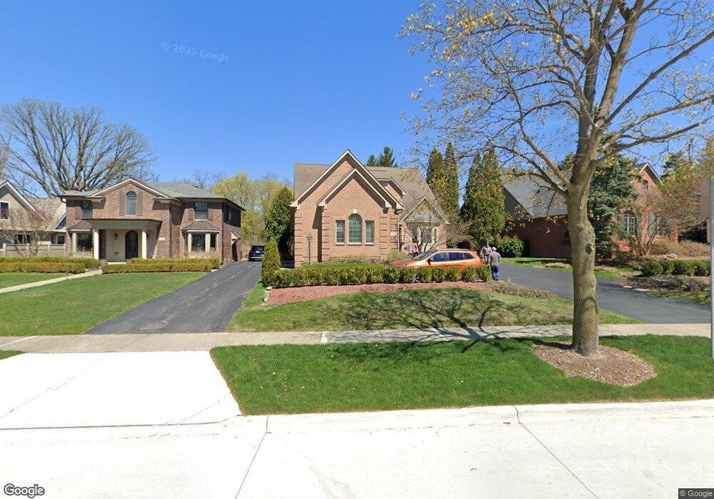
This home is located at 846 Redding Rd Unit Bldg-Unit, Birmingham, MI 48009 and is currently estimated at $2,233,779, approximately $513 per square foot. 846 Redding Rd Unit Bldg-Unit is a home located in Oakland County with nearby schools including Pierce Elementary School, Derby Middle School, and Ernest W. Seaholm High School.
Ownership History
We collect this data history from publicly available records. To have your information removed, we recommend requesting removal directly through your county’s website.
Purchase Details
Purchase Details
Purchase Details
Purchase Details
Home Values in the Area
Average Home Value in this Area
Purchase History
We collect this data history from publicly available records. To have your information removed, we recommend requesting removal directly through your county’s website.
| Date | Buyer | Sale Price | Title Company |
|---|---|---|---|
| -- | None Available | ||
| -- | -- | ||
| -- | -- | ||
| $150,000 | -- |
Tax History
We collect this data history from publicly available records. To have your information removed, we recommend requesting removal directly through your county’s website.
| Year | Tax Paid | Tax Assessment Tax Assessment Total Assessment is a certain percentage of the fair market value that is determined by local assessors to be the total taxable value of land and additions on the property. | Land | Improvement |
|---|---|---|---|---|
| 2025 | $21,920 | $710,870 | $0 | $0 |
| 2024 | $21,449 | $700,530 | $0 | $0 |
| 2023 | $20,553 | $672,580 | $0 | $0 |
| 2022 | $22,037 | $583,470 | $0 | $0 |
| 2021 | $22,232 | $552,950 | $0 | $0 |
| 2020 | $19,975 | $549,930 | $0 | $0 |
| 2019 | $26,122 | $623,640 | $0 | $0 |
| 2018 | $17,422 | $601,120 | $0 | $0 |
| 2017 | $17,392 | $598,170 | $0 | $0 |
| 2016 | $17,425 | $598,810 | $0 | $0 |
| 2015 | -- | $577,320 | $0 | $0 |
| 2014 | -- | $491,810 | $0 | $0 |
| 2011 | -- | $364,960 | $0 | $0 |
Map
- 1551 Lakeside Dr
- 1295 Lakeside Dr
- 1335 Willow Ln
- 1269 Willow Ln
- 1115 N Old Woodward Ave Unit 52
- 1115 N Old Woodward Ave Unit 61
- 1115 N Old Woodward #76 Ave
- 1115 N Old Woodward Ave Unit 66
- 1111 N Old Woodward Ave Unit 23
- 1111 N Old Woodward Ave Unit 24
- 1450 Pilgrim Ave
- 1183 Puritan Ave
- 1035 N Old Woodward Ave
- 1035 N Old Woodward Ave Unit 1
- 45 Maywood Ave
- 667 Oak Ave
- 840 Lakeside Dr
- 850 Greenwood St
- 1094 Suffield Ave
- 750 Hazelwood St
- 890 Redding Rd
- 858 Redding Rd
- 1458 Lakeside Dr
- 1500 Lakeside Dr
- 1414 Lakeside Dr
- 846 Redding Rd
- 1556 Lakeside Dr
- 798 Redding Rd
- 1386 Lakeside Dr
- 857 Redding Rd
- 857 Redding Rd Unit 2
- 857 Redding Rd Unit 1
- 887 Redding Rd
- 1449 Lakeside Dr
- 1578 Lakeside Dr
- 1350 Lakeside Dr
- 885 Redding Rd
- 1415 Lakeside Dr
- 1027 Quarton Rd
- 3056 Lakeside Dr
Ask me questions while you tour the home.