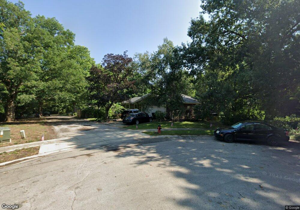
848 Independence Ridge Springfield, IL 62702
Estimated Value: $243,806 - $318,000
Studio
--
Bath
--
Sq Ft
0.57
Acres Lot
About This Home
This home is located at 848 Independence Ridge, Springfield, IL 62702 and is currently estimated at $289,452. 848 Independence Ridge is a home located in Sangamon County with nearby schools including Dubois Elementary School, U.S. Grant Middle School, and Springfield High School.
Ownership History
Date
Name
Owned For
Owner Type
Purchase Details
Closed on
Aug 6, 2018
Sold by
Szpyrka Thomas E and Szpyrka Sandra K
Bought by
Szpyrka Thomas E and Szpyrka Sandra K
Current Estimated Value
Purchase Details
Closed on
Jun 27, 2008
Purchase Details
Closed on
Aug 15, 2007
Purchase Details
Closed on
Nov 27, 2006
Purchase Details
Closed on
Jul 18, 2005
Purchase Details
Closed on
Nov 3, 2003
Purchase Details
Closed on
Dec 8, 1998
Purchase Details
Closed on
Apr 3, 1995
Create a Home Valuation Report for This Property
The Home Valuation Report is an in-depth analysis detailing your home's value as well as a comparison with similar homes in the area
Purchase History
| Date | Buyer | Sale Price | Title Company |
|---|---|---|---|
| Szpyrka Thomas E | -- | -- | |
| -- | $210,000 | -- | |
| -- | -- | -- | |
| -- | -- | -- | |
| -- | -- | -- | |
| -- | -- | -- | |
| -- | -- | -- | |
| -- | $129,000 | -- |
Source: Public Records
Tax History
| Year | Tax Paid | Tax Assessment Tax Assessment Total Assessment is a certain percentage of the fair market value that is determined by local assessors to be the total taxable value of land and additions on the property. | Land | Improvement |
|---|---|---|---|---|
| 2024 | $5,756 | $74,526 | $10,874 | $63,652 |
| 2023 | $5,488 | $68,072 | $9,932 | $58,140 |
| 2022 | $5,249 | $64,572 | $9,421 | $55,151 |
| 2021 | $5,054 | $62,154 | $9,068 | $53,086 |
| 2020 | $4,955 | $62,248 | $9,082 | $53,166 |
| 2019 | $4,861 | $62,031 | $9,050 | $52,981 |
| 2018 | $4,709 | $61,729 | $9,006 | $52,723 |
| 2017 | $4,605 | $60,931 | $8,890 | $52,041 |
| 2016 | $4,507 | $60,042 | $8,760 | $51,282 |
| 2015 | $4,457 | $59,324 | $8,655 | $50,669 |
| 2014 | $4,188 | $58,941 | $8,599 | $50,342 |
| 2013 | $4,095 | $56,542 | $8,598 | $47,944 |
Source: Public Records
Map
Nearby Homes
- 812 Roanoke Dr
- 60 N Oxford Rd
- 2321 Winners Cir
- 2510 & 2518 W Jefferson St
- 97 Mccarthy Dr
- 2011 W Jefferson St
- 2102 W Jefferson St
- 1913 Jeanette Ln Unit 8
- 1901 Jeanette Ln Unit 6
- 1909 Jeanette Ln Unit 4
- 1914 Jeanette Ln Unit 6
- 804 Fairfax Ct
- 6 Redwood Ln
- 232 Dickinson Rd
- 10 Royal Rd
- 27 Skyview Dr
- 809 Diane Ct
- 904 Diane Ct
- 1038 N Koke Mill Rd
- 905 Helene St
- 840 Independence Ridge
- 856 Independence Ridge
- 855 Independence Ridge
- 839 Independence Ridge
- 832 Independence Ridge None
- 831 Independence Ridge
- 824 Independence Ridge
- 863 Independence Ridge
- 816 Independence Ridge
- 0 Independence Ridge
- 808 Independence Ridge
- 815 Independence Ridge
- 854 Roanoke Dr
- 850 Roanoke Dr
- 830 Randolph Ct
- 809 Independence Ridge
- 2429 Churchill Rd
- 858 Roanoke Dr
- 800 Independence Ridge
- 824 Randolph Ct
Your Personal Tour Guide
Ask me questions while you tour the home.