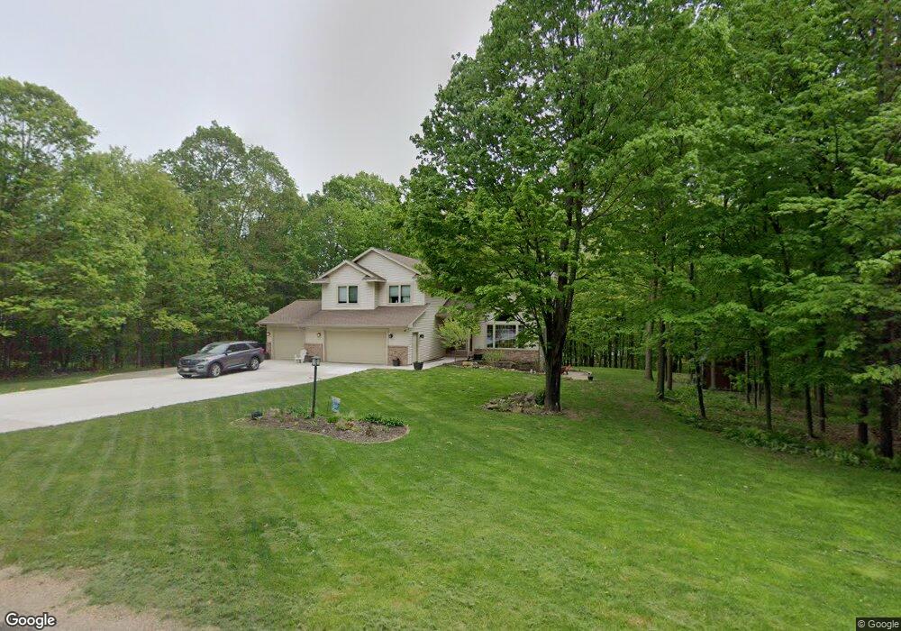
8480 Maplecrest Dr Wausau, WI 54401
Estimated Value: $477,000 - $686,000
Studio
--
Bath
--
Sq Ft
74,923
Sq Ft Lot
About This Home
This home is located at 8480 Maplecrest Dr, Wausau, WI 54401 and is currently estimated at $538,036. 8480 Maplecrest Dr is a home located in Marathon County with nearby schools including Stettin Elementary School, John Muir Middle School, and West High School.
Ownership History
Date
Name
Owned For
Owner Type
Purchase Details
Closed on
Apr 8, 2025
Sold by
Gruhn Theodore L and Gruhn Jodi A
Bought by
Gruhn Revocable Trust and Gruhn
Current Estimated Value
Purchase Details
Closed on
Dec 29, 2010
Sold by
Hippe Matthew T and Hippe Sandra J
Bought by
Gruhn Theodore L and Gruhn Jodi A
Home Financials for this Owner
Home Financials are based on the most recent Mortgage that was taken out on this home.
Original Mortgage
$247,500
Interest Rate
4.44%
Mortgage Type
New Conventional
Create a Home Valuation Report for This Property
The Home Valuation Report is an in-depth analysis detailing your home's value as well as a comparison with similar homes in the area
Purchase History
| Date | Buyer | Sale Price | Title Company |
|---|---|---|---|
| Gruhn Revocable Trust | -- | None Listed On Document | |
| Gruhn Theodore L | $275,000 | Gowey Abstract & Title |
Source: Public Records
Mortgage History
| Date | Status | Borrower | Loan Amount |
|---|---|---|---|
| Previous Owner | Gruhn Theodore L | $247,500 |
Source: Public Records
Tax History
| Year | Tax Paid | Tax Assessment Tax Assessment Total Assessment is a certain percentage of the fair market value that is determined by local assessors to be the total taxable value of land and additions on the property. | Land | Improvement |
|---|---|---|---|---|
| 2025 | $5,458 | $349,300 | $43,100 | $306,200 |
| 2024 | $5,408 | $349,300 | $43,100 | $306,200 |
| 2023 | $6,096 | $349,300 | $43,100 | $306,200 |
| 2022 | $5,566 | $349,300 | $43,100 | $306,200 |
| 2021 | $5,458 | $349,300 | $43,100 | $306,200 |
| 2020 | $5,269 | $281,700 | $39,200 | $242,500 |
| 2019 | $5,325 | $281,700 | $39,200 | $242,500 |
| 2018 | $5,461 | $281,700 | $39,200 | $242,500 |
| 2017 | $5,388 | $281,700 | $39,200 | $242,500 |
| 2016 | $5,106 | $281,700 | $39,200 | $242,500 |
| 2015 | $5,437 | $281,700 | $39,200 | $242,500 |
| 2014 | $5,195 | $281,700 | $39,200 | $242,500 |
Source: Public Records
Map
Nearby Homes
- 231781 Twin Fawn Trail Unit SA19
- 145683 Flint Creek Cir
- 231708 Twin Fawn Trail Unit SA14
- 231715 Twin Fawn Trail
- 120 Acres Stettin Dr
- .80 Acres County Road U
- 231768 N 104th Ave
- 235040 N 96th Ave
- LOT 2 Highland Dr
- LOT 1 Highland Dr
- 142806 Rolling Meadows Ln
- 6050 W Cassidy Dr
- 105 S 66th Ave
- 212 Windtree Dr
- 6007 Birchwood Dr
- 210 Bluestone Dr
- 4402 Hilltop Ave
- 4711 Edgewood Blvd
- 4512 Stettin Dr
- 3525 W Wausau Ave
- 8480 Maple Hill Dr
- 8520 Maplecrest Dr
- 8440 Maplecrest Dr
- 144764 Maple Crest Dr
- 8475 Maple Hill Dr
- 8475 Maplecrest Dr
- 144889 Leafy Ln
- 8555 Maplecrest Dr
- 8560 Maplecrest Dr
- 144833 Maple Crest Dr
- 8435 Maplecrest Dr
- 1417 N 88th Ave
- 144877 Leafy Ln
- 144877 Leafy Ln
- 8400 Maplecrest Dr
- 144924 Maple Crest Dr
- 8695 Maplecrest Dr
- 8625 Maple Crest Dr
- 8625 Maplecrest Dr
- 8405 Maplecrest Dr
Your Personal Tour Guide
Ask me questions while you tour the home.