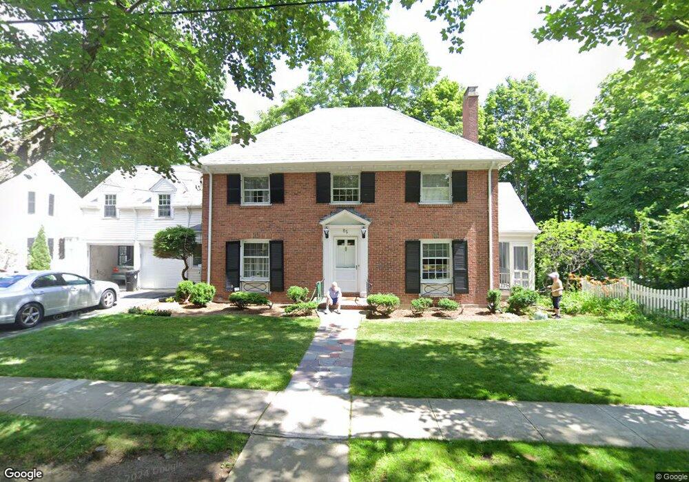
85 Alberta Rd Chestnut Hill, MA 02467
South Brookline NeighborhoodEstimated Value: $1,963,000 - $2,201,627
About This Home
This home is located at 85 Alberta Rd, Chestnut Hill, MA 02467 and is currently estimated at $2,096,907, approximately $792 per square foot. 85 Alberta Rd is a home located in Norfolk County with nearby schools including Baker School, Brookline High School, and Dexter School.
Ownership History
We collect this data history from publicly available records. To have your information removed, we recommend requesting removal directly through your county’s website.
Purchase Details
Purchase Details
Home Values in the Area
Average Home Value in this Area
Purchase History
We collect this data history from publicly available records. To have your information removed, we recommend requesting removal directly through your county’s website.
| Date | Buyer | Sale Price | Title Company |
|---|---|---|---|
| -- | -- | ||
| $180,000 | -- |
Tax History
We collect this data history from publicly available records. To have your information removed, we recommend requesting removal directly through your county’s website.
| Year | Tax Paid | Tax Assessment Tax Assessment Total Assessment is a certain percentage of the fair market value that is determined by local assessors to be the total taxable value of land and additions on the property. | Land | Improvement |
|---|---|---|---|---|
| 2025 | $17,539 | $1,777,000 | $762,500 | $1,014,500 |
| 2024 | $16,714 | $1,710,700 | $733,200 | $977,500 |
| 2023 | $15,501 | $1,554,800 | $594,500 | $960,300 |
| 2022 | $15,089 | $1,480,800 | $566,200 | $914,600 |
| 2021 | $13,953 | $1,423,800 | $544,400 | $879,400 |
| 2020 | $12,876 | $1,362,500 | $494,900 | $867,600 |
| 2019 | $12,159 | $1,297,600 | $471,300 | $826,300 |
| 2018 | $12,185 | $1,288,100 | $471,400 | $816,700 |
| 2017 | $12,006 | $1,215,200 | $444,700 | $770,500 |
| 2016 | $11,834 | $1,135,700 | $415,600 | $720,100 |
| 2015 | $11,336 | $1,061,400 | $388,400 | $673,000 |
| 2014 | $11,500 | $1,009,700 | $353,200 | $656,500 |
Map
- 518 Newton St
- 171 Shaw Rd
- 76 Goodnough Rd
- 142 Beverly Rd
- 365 Newton St
- 129 Rangeley Rd
- 57 Broadlawn Park Unit 14B
- 75 Hammond Pond Pkwy
- 24 Westgate Rd Unit 5
- 68 Bryon Rd Unit 5
- 303 Russett Rd
- 291 Russett Rd
- 28 Kesseler Way
- 50 Bryon Rd Unit 4
- 191 Newton St
- 21 Westgate Rd Unit 4
- 25 Leland Rd
- 764 Hammond St
- 0 Glenoe Rd
- 101 Hackensack Rd
- 528 Newton St
- 510 Newton St
- 93 Alberta Rd
- 538 Newton St
- 538 Newton St Unit 538
- 1152 W Roxbury Pkwy
- 99 Alberta Rd
- 65 Alberta Rd
- 65 Alberta Rd Unit 65
- 65 Alberta Rd
- 84 Alberta Rd
- 546 Newton St
- 74 Alberta Rd
- 57 Alberta Rd
- 2046 W Roxbury Pkwy
- 1140 W Roxbury Pkwy
- 68 Alberta Rd
- 107 Alberta Rd
- 123 Shaw Rd
- 117 Shaw Rd
Ask me questions while you tour the home.