Estimated Value: $185,000 - $214,000
3
Beds
1
Bath
1,512
Sq Ft
$134/Sq Ft
Est. Value
About This Home
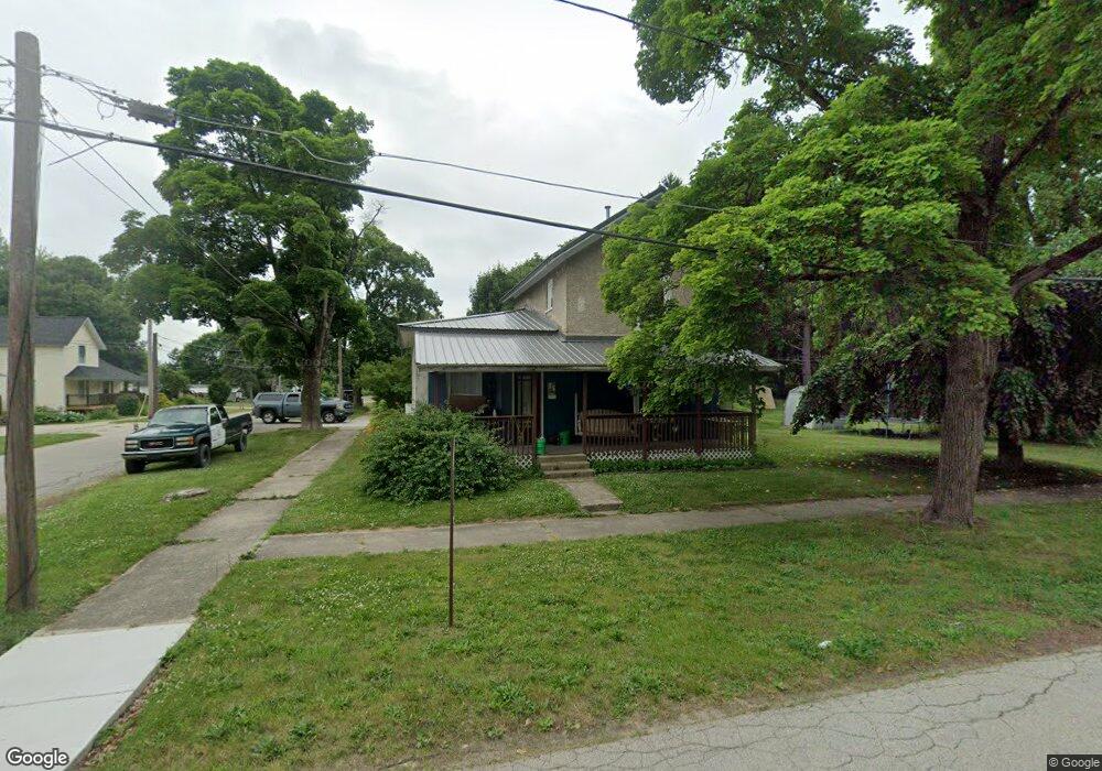
This home is located at 85 Arthur St, Grant, MI 49327 and is currently estimated at $202,528, approximately $133 per square foot. 85 Arthur St is a home located in Newaygo County with nearby schools including Grant Elementary School, Grant Primary Center, and Grant Middle School.
Ownership History
Date
Name
Owned For
Owner Type
Purchase Details
Closed on
Dec 22, 2011
Sold by
Pierce Dan Michael
Bought by
Pierce Jake Michael
Current Estimated Value
Purchase Details
Closed on
Oct 11, 2010
Sold by
American Asset Llc
Bought by
Pierce Dan M
Purchase Details
Closed on
Sep 24, 2010
Sold by
Deutsche Bank National Trust Company
Bought by
American Asset Llc
Purchase Details
Closed on
Dec 16, 2008
Sold by
Guthrie Mary M and Guthrie James A
Bought by
Deutsche Bank
Purchase Details
Closed on
Mar 21, 2006
Sold by
Guthrie James
Bought by
Guthrie James A
Purchase Details
Closed on
Mar 14, 2003
Sold by
Osborn Michael
Bought by
Guthrie James A
Create a Home Valuation Report for This Property
The Home Valuation Report is an in-depth analysis detailing your home's value as well as a comparison with similar homes in the area
Purchase History
We collect this data history from publicly available records. To have your information removed, we recommend requesting removal directly through your county’s website.
| Date | Buyer | Sale Price | Title Company |
|---|---|---|---|
| Pierce Jake Michael | -- | -- | |
| Pierce Dan M | $16,200 | -- | |
| American Asset Llc | -- | -- | |
| Deutsche Bank | $59,118 | None Available | |
| Guthrie James A | $51,400 | -- | |
| Guthrie James A | $85,000 | -- |
Source: Public Records
Tax History
| Year | Tax Paid | Tax Assessment Tax Assessment Total Assessment is a certain percentage of the fair market value that is determined by local assessors to be the total taxable value of land and additions on the property. | Land | Improvement |
|---|---|---|---|---|
| 2025 | $2,431 | $83,900 | $0 | $0 |
| 2024 | $11 | $73,900 | $0 | $0 |
| 2023 | $1,054 | $73,300 | $0 | $0 |
| 2022 | $2,059 | $61,000 | $0 | $0 |
| 2021 | $2,023 | $54,300 | $0 | $0 |
| 2020 | $1,985 | $53,700 | $0 | $0 |
| 2019 | $1,357 | $42,300 | $0 | $0 |
| 2018 | $1,351 | $34,800 | $0 | $0 |
| 2017 | $1,328 | $34,200 | $0 | $0 |
| 2016 | $1,313 | $33,000 | $0 | $0 |
| 2015 | -- | $30,400 | $0 | $0 |
| 2014 | -- | $31,700 | $0 | $0 |
Source: Public Records
Map
Nearby Homes
- 0 S Mason Dr
- 11298 S Gordon Ave
- 11846 S Mason Dr
- 140 E Commerce St
- 175 E Commerce St
- 272 E Dutch Mill St
- 261 W Mustang Moon Trail
- 2119 W 116th St
- 2308 W 112th St
- 500 E 136th St
- 0 W 112th St Unit 26006032
- 10041 S Mason Dr
- 608 E The Ln
- TBD W 116th St
- 177 W 96th St
- 14186 S Mocking Bird Ln
- 974 E 98th St
- 3193 W 112th St
- 1773 N Newaygo Rd
- 9425 S Benjamin Dr
Your Personal Tour Guide
Ask me questions while you tour the home.