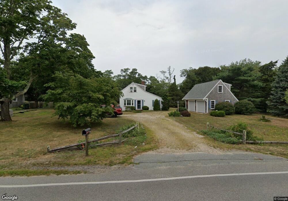
85 Bridge Rd Eastham, MA 02642
Estimated Value: $709,000 - $931,000
3
Beds
2
Baths
2,040
Sq Ft
$382/Sq Ft
Est. Value
About This Home
This home is located at 85 Bridge Rd, Eastham, MA 02642 and is currently estimated at $779,318, approximately $382 per square foot. 85 Bridge Rd is a home located in Barnstable County with nearby schools including Eastham Elementary School, Nauset Regional Middle School, and Nauset Regional High School.
Ownership History
Date
Name
Owned For
Owner Type
Purchase Details
Closed on
Sep 19, 2019
Sold by
Nancy Bush Lt
Bought by
85 Bridge Rt
Current Estimated Value
Purchase Details
Closed on
Nov 13, 2017
Sold by
Beard Elizabeth L
Bought by
85 Bridge Rt
Purchase Details
Closed on
Nov 3, 2017
Sold by
Beard Elizabeth L
Bought by
85 Bridge Rt
Purchase Details
Closed on
Feb 3, 2005
Sold by
Beard Elizabeth L
Bought by
Latanzi Thomas A
Create a Home Valuation Report for This Property
The Home Valuation Report is an in-depth analysis detailing your home's value as well as a comparison with similar homes in the area
Home Values in the Area
Average Home Value in this Area
Purchase History
| Date | Buyer | Sale Price | Title Company |
|---|---|---|---|
| 85 Bridge Rt | $206,142 | -- | |
| 85 Bridge Rt | -- | -- | |
| 85 Bridge Rt | -- | -- | |
| Latanzi Thomas A | -- | -- | |
| Beard Elizabeth L | -- | -- |
Source: Public Records
Tax History
| Year | Tax Paid | Tax Assessment Tax Assessment Total Assessment is a certain percentage of the fair market value that is determined by local assessors to be the total taxable value of land and additions on the property. | Land | Improvement |
|---|---|---|---|---|
| 2025 | $4,634 | $601,100 | $296,400 | $304,700 |
| 2024 | $4,102 | $585,200 | $287,800 | $297,400 |
| 2023 | $3,822 | $527,900 | $266,500 | $261,400 |
| 2022 | $3,688 | $429,800 | $237,900 | $191,900 |
| 2021 | $3,599 | $392,000 | $216,300 | $175,700 |
| 2020 | $3,842 | $440,600 | $275,300 | $165,300 |
| 2019 | $4,039 | $489,600 | $269,600 | $220,000 |
| 2018 | $3,973 | $475,800 | $261,700 | $214,100 |
| 2017 | $3,687 | $466,700 | $256,600 | $210,100 |
| 2016 | $3,521 | $473,300 | $266,800 | $206,500 |
| 2015 | $3,285 | $462,700 | $261,600 | $201,100 |
Source: Public Records
Map
Nearby Homes
- 59 Bridge Rd
- 181 Rock Harbor Rd
- 32 Locust Rd
- 2 Reilly Run
- 339 Dyer Prince Rd
- 480 Dyer Prince Rd
- 40 Bayview Rd
- 2 Shell Ln
- 6 Defiance Ln
- 89 Rock Harbor Rd
- 320 State Hwy
- 13 S Orleans Rd Unit 42
- 13 S Orleans Rd Unit 28
- 17 Kings Way
- 36 Old Colony Way Unit 21
- 36 Old Colony Way Unit 3022
- 42 Old Colony Way Unit 15
- 42 Old Colony Way Unit 29
- 704 State Hwy
- 54 Old Colony Way Unit G
- 25 Bridge Rd
- 105 Bridge Rd
- 70 Bridge Rd
- 10 Dyer Prince Rd
- 10 Dyer Prince Rd Unit 1
- 155 Bridge Rd
- 30 Dyer Prince Rd
- 120 Bridge Rd
- 40 Dyer Prince Rd
- 225 Bridge Rd
- 42 Dyer Prince Rd
- 31 Dyer Prince Rd
- 80 Goody Hallett Dr
- 58 Bridge Rd
- 220 Bridge Rd
- 255 Bridge Rd
- 80 Goody Hallet Dr
- 41 Dyer Prince Rd
- 21 Dyer Prince Rd
- 30 Elisabeth Dr
Your Personal Tour Guide
Ask me questions while you tour the home.