85 Bunnell St Colebrook, CT 06021
Estimated Value: $527,654 - $786,000
3
Beds
2
Baths
1,520
Sq Ft
$432/Sq Ft
Est. Value
About This Home
This home is located at 85 Bunnell St, Colebrook, CT 06021 and is currently estimated at $657,164, approximately $432 per square foot. 85 Bunnell St is a home with nearby schools including Colebrook Consolidated School, Northwestern Regional Middle School, and Northwestern Regional High School.
Ownership History
Date
Name
Owned For
Owner Type
Purchase Details
Closed on
May 16, 2024
Sold by
Tobey Maya Llc
Bought by
Catherine Gevers T and Catherine Gevers
Current Estimated Value
Purchase Details
Closed on
Dec 9, 2011
Sold by
Maximilian E Gevers T and Gevers Catherine
Bought by
Gevers Catherine
Purchase Details
Closed on
Aug 4, 2000
Sold by
Est Hart Floyd C Jr and Jesperson Floyd
Bought by
Gevers Tr Catherine and Budd Mcdonald
Create a Home Valuation Report for This Property
The Home Valuation Report is an in-depth analysis detailing your home's value as well as a comparison with similar homes in the area
Home Values in the Area
Average Home Value in this Area
Purchase History
| Date | Buyer | Sale Price | Title Company |
|---|---|---|---|
| Catherine Gevers T | -- | None Available | |
| Catherine Gevers T | -- | None Available | |
| Catherine Gevers T | -- | None Available | |
| Gevers Catherine | -- | -- | |
| Gevers Catherine | -- | -- | |
| Gevers Tr Catherine | $325,000 | -- | |
| Gevers Tr Catherine | $325,000 | -- |
Source: Public Records
Tax History
| Year | Tax Paid | Tax Assessment Tax Assessment Total Assessment is a certain percentage of the fair market value that is determined by local assessors to be the total taxable value of land and additions on the property. | Land | Improvement |
|---|---|---|---|---|
| 2025 | $7,820 | $232,060 | $45,200 | $186,860 |
| 2024 | $7,389 | $230,900 | $44,100 | $186,800 |
| 2023 | $7,666 | $230,900 | $44,100 | $186,800 |
| 2022 | $7,447 | $230,900 | $44,100 | $186,800 |
| 2021 | $7,135 | $230,900 | $44,100 | $186,800 |
| 2020 | $268 | $223,620 | $47,820 | $175,800 |
| 2019 | $6,644 | $215,020 | $47,820 | $167,200 |
| 2018 | $6,644 | $215,020 | $47,820 | $167,200 |
| 2017 | $6,644 | $215,020 | $47,820 | $167,200 |
| 2016 | $6,300 | $215,020 | $47,820 | $167,200 |
| 2015 | $6,365 | $228,970 | $59,770 | $169,200 |
| 2014 | $6,365 | $228,970 | $59,770 | $169,200 |
Source: Public Records
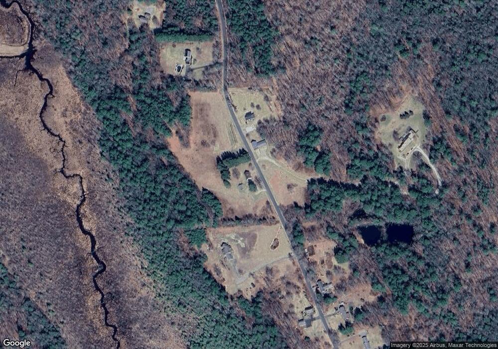
Map
Nearby Homes
- 11 Shantry Rd
- 11 Corning
- 0 Prock Hill Rd
- 00 Prock Hill Rd
- 0 Winsted Norfolk Rd Unit 24089254
- 70 Colebrook Rd
- 00 Greenwoods Rd E
- 425 Colebrook River Rd
- 210 Doolittle Dr
- 000000 Norfolk Rd
- 93 Greenwoods Rd E
- 32 Norfolk Rd
- 00 Laurel Way
- 19 Roberts Rd
- 162 Spencer Hill Rd
- 21 Shepard Rd
- 82 Riverton Rd
- 11 Old Creamery Rd
- 0 Old Colony Rd
- 115 Old Robertsville Rd
Your Personal Tour Guide
Ask me questions while you tour the home.