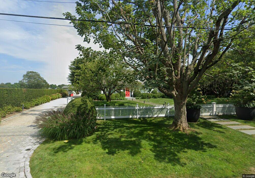
85 Butter Ln Bridgehampton, NY 11932
Estimated Value: $2,868,000 - $3,212,000
3
Beds
2
Baths
1,936
Sq Ft
$1,560/Sq Ft
Est. Value
About This Home
This home is located at 85 Butter Ln, Bridgehampton, NY 11932 and is currently estimated at $3,019,852, approximately $1,559 per square foot. 85 Butter Ln is a home with nearby schools including Bridgehampton School, The Hayground School, and Ross Lower School.
Ownership History
Date
Name
Owned For
Owner Type
Purchase Details
Closed on
May 8, 2012
Sold by
Walker Chester E and Walker Leona
Bought by
Prounis Othon and Prounis Kathy
Current Estimated Value
Home Financials for this Owner
Home Financials are based on the most recent Mortgage that was taken out on this home.
Original Mortgage
$1,260,000
Outstanding Balance
$856,436
Interest Rate
3.5%
Mortgage Type
Unknown
Estimated Equity
$2,163,416
Purchase Details
Closed on
Jul 30, 1996
Sold by
Dominski Ann
Bought by
Walker Leona Ann and Harrington Margaret
Create a Home Valuation Report for This Property
The Home Valuation Report is an in-depth analysis detailing your home's value as well as a comparison with similar homes in the area
Home Values in the Area
Average Home Value in this Area
Purchase History
| Date | Buyer | Sale Price | Title Company |
|---|---|---|---|
| Prounis Othon | $1,400,000 | -- | |
| Walker Leona Ann | -- | Fidelity National Title |
Source: Public Records
Mortgage History
| Date | Status | Borrower | Loan Amount |
|---|---|---|---|
| Open | Prounis Othon | $1,260,000 |
Source: Public Records
Tax History
| Year | Tax Paid | Tax Assessment Tax Assessment Total Assessment is a certain percentage of the fair market value that is determined by local assessors to be the total taxable value of land and additions on the property. | Land | Improvement |
|---|---|---|---|---|
| 2024 | $6,129 | $1,572,500 | $1,181,200 | $391,300 |
| 2023 | $6,129 | $1,572,500 | $1,181,200 | $391,300 |
| 2022 | $5,088 | $1,572,500 | $1,181,200 | $391,300 |
| 2021 | $5,088 | $1,571,900 | $1,181,200 | $390,700 |
| 2020 | $5,878 | $1,571,900 | $1,181,200 | $390,700 |
| 2019 | $5,878 | $0 | $0 | $0 |
| 2018 | -- | $1,540,600 | $1,181,200 | $359,400 |
| 2017 | $5,624 | $1,540,600 | $1,181,200 | $359,400 |
| 2016 | $5,834 | $1,539,900 | $1,181,200 | $358,700 |
| 2015 | -- | $1,343,000 | $984,300 | $358,700 |
| 2014 | -- | $1,343,000 | $984,300 | $358,700 |
Source: Public Records
Map
Nearby Homes
- 19 and 33 Bridgefield Rd
- 15 Hildreth Ln
- 125 Hildreth Ln
- 81 Hildreth Ln
- 74 Chester St
- 120 Halsey Ln
- 88 Rose Way
- 110 Halsey Ln
- 136 Trelawney Rd
- 7 Kellis Way
- 54 Sawasett Ave
- 162 Norris Ln
- 131 Narrow Ln
- 158 Norris Ln
- 53 Williams Way
- 154 Narrow Ln
- 65 Audubon Ave
- 2749 Montauk Hwy
- 946 Ocean Rd
- 145 Sea Farm Ln
Your Personal Tour Guide
Ask me questions while you tour the home.