850 La Pointe Dr Bourbonnais, IL 60914
Bourbonnais AreaEstimated Value: $255,000 - $290,000
About This Home
This home is located at 850 La Pointe Dr, Bourbonnais, IL 60914 and is currently estimated at $271,454, approximately $123 per square foot. 850 La Pointe Dr is a home located in Kankakee County with nearby schools including Alan B. Shepard Elementary School, Liberty Intermediate School, and Bourbonnais Upper Grade Center.
Ownership History
We collect this data history from publicly available records. To have your information removed, we recommend requesting removal directly through your county’s website.
Purchase Details
Home Values in the Area
Average Home Value in this Area
Purchase History
We collect this data history from publicly available records. To have your information removed, we recommend requesting removal directly through your county’s website.
| Date | Buyer | Sale Price | Title Company |
|---|---|---|---|
| $126,000 | Standard Title |
Tax History
We collect this data history from publicly available records. To have your information removed, we recommend requesting removal directly through your county’s website.
| Year | Tax Paid | Tax Assessment Tax Assessment Total Assessment is a certain percentage of the fair market value that is determined by local assessors to be the total taxable value of land and additions on the property. | Land | Improvement |
|---|---|---|---|---|
| 2025 | $5,184 | $75,763 | $6,798 | $68,965 |
| 2024 | $5,184 | $68,376 | $6,413 | $61,963 |
| 2023 | $4,733 | $63,311 | $5,938 | $57,373 |
| 2022 | $4,736 | $61,022 | $5,723 | $55,299 |
| 2021 | $4,650 | $59,679 | $5,597 | $54,082 |
| 2020 | $4,601 | $58,082 | $5,447 | $52,635 |
| 2019 | $4,500 | $56,390 | $5,288 | $51,102 |
| 2018 | $4,439 | $55,557 | $5,210 | $50,347 |
| 2017 | $4,348 | $54,202 | $5,083 | $49,119 |
| 2016 | $4,267 | $53,401 | $5,008 | $48,393 |
| 2015 | $3,861 | $48,355 | $4,059 | $44,296 |
| 2014 | $3,709 | $48,355 | $4,059 | $44,296 |
| 2013 | -- | $48,355 | $4,059 | $44,296 |
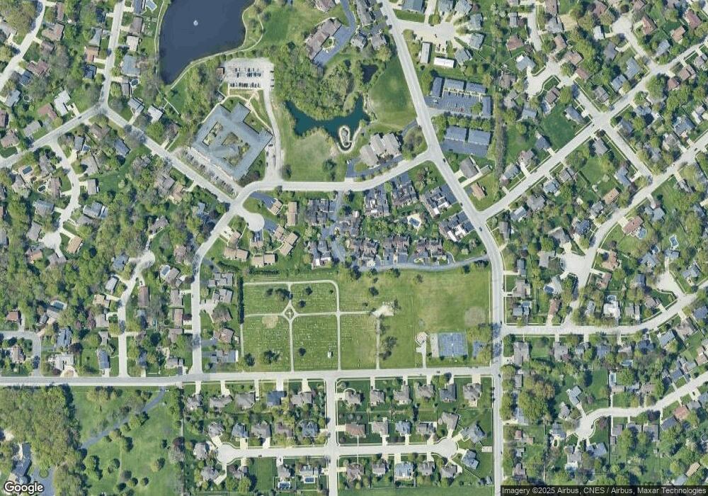
Map
- 13 Briarcliff Ct
- 248 Fox Trail Dr
- 778 Woodstock Ln
- 2 Oxford Place
- 357 Windermere Way
- 1905 Indian Trail
- 2008 Indian Trail
- 440 Dover Turn
- 1268 Deer Path
- 417 N Thames Ct
- 1240 Plum Creek Dr
- 1785 Indian Trail
- Lot 5/5A Almar Pkwy
- 209-215 E Marsile St
- 310 Barrington Dr
- 1362 Mill Pond Rd
- 1154 Blaye
- 1402 Indian Trail
- 1420 Indian Trail
- 1900 Indian Trail
- 878 La Pointe Dr
- 884 La Pointe Dr
- 890 La Pointe Dr
- 896 La Pointe Dr
- 842 La Pointe Dr
- 842 La Pointe Dr Unit 842
- 846 La Pointe Dr
- 881 La Pointe Dr
- 881 La Pointe Dr Unit 881
- 875 La Pointe Dr
- 890 Exeter Turn
- 887 La Pointe Dr
- 838 La Pointe Dr
- 869 La Pointe Dr
- 863 La Pointe Dr
- 863 La Pointe Dr Unit 863
- 893 La Pointe Dr
- 880 Exeter Turn
- 857 La Pointe Dr
- 899 La Pointe Dr
Ask me questions while you tour the home.