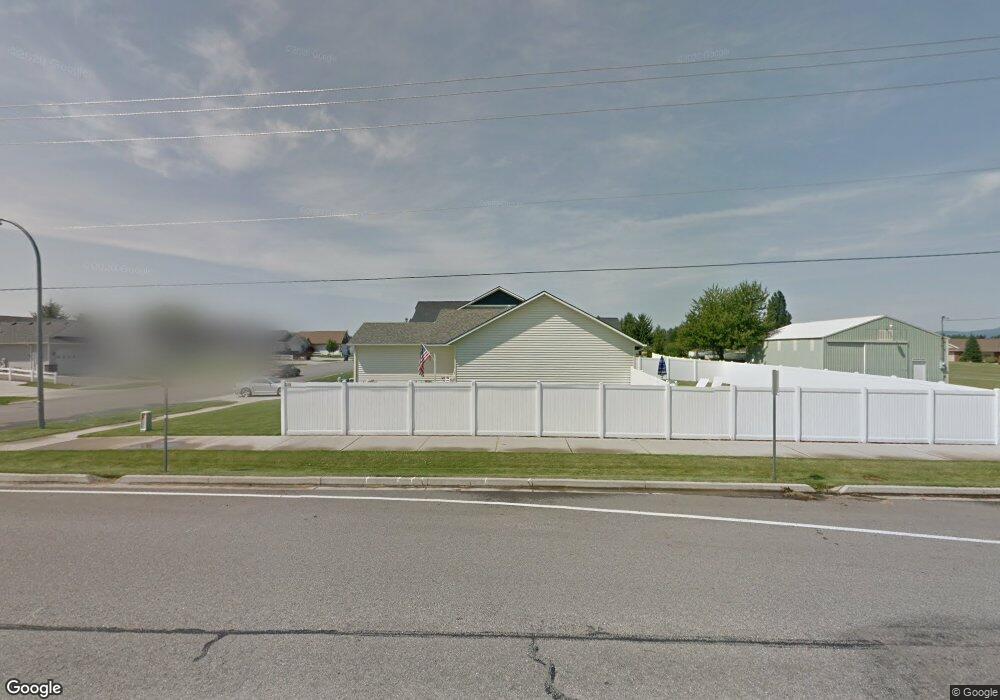
8533 N Brookside Dr Hayden, ID 83835
Estimated Value: $425,000 - $461,000
About This Home
This home is located at 8533 N Brookside Dr, Hayden, ID 83835 and is currently estimated at $442,751, approximately $384 per square foot. 8533 N Brookside Dr is a home located in Kootenai County with nearby schools including Atlas Elementary School, Woodland Middle School, and Lake City High School.
Ownership History
We collect this data history from publicly available records. To have your information removed, we recommend requesting removal directly through your county’s website.
Purchase Details
Purchase Details
Home Financials for this Owner
Home Financials are based on the most recent Mortgage that was taken out on this home.Purchase Details
Home Financials for this Owner
Home Financials are based on the most recent Mortgage that was taken out on this home.Purchase Details
Home Financials for this Owner
Home Financials are based on the most recent Mortgage that was taken out on this home.Purchase History
We collect this data history from publicly available records. To have your information removed, we recommend requesting removal directly through your county’s website.
| Date | Buyer | Sale Price | Title Company |
|---|---|---|---|
| -- | Pioneer Title Kootenai Cnty | ||
| -- | North Idaho Title Company | ||
| -- | -- | ||
| -- | -- |
Mortgage History
We collect this data history from publicly available records. To have your information removed, we recommend requesting removal directly through your county’s website.
| Date | Status | Borrower | Loan Amount |
|---|---|---|---|
| Previous Owner | $211,080 | ||
| Previous Owner | $5,141 | ||
| Previous Owner | $115,000 |
Tax History
We collect this data history from publicly available records. To have your information removed, we recommend requesting removal directly through your county’s website.
| Year | Tax Paid | Tax Assessment Tax Assessment Total Assessment is a certain percentage of the fair market value that is determined by local assessors to be the total taxable value of land and additions on the property. | Land | Improvement |
|---|---|---|---|---|
| 2025 | $1,885 | $391,340 | $190,000 | $201,340 |
| 2024 | $1,790 | $376,330 | $175,000 | $201,330 |
| 2023 | $1,790 | $391,397 | $180,000 | $211,397 |
| 2022 | $1,910 | $433,543 | $200,000 | $233,543 |
| 2021 | $2,052 | $287,312 | $125,000 | $162,312 |
| 2020 | $1,996 | $245,809 | $100,000 | $145,809 |
| 2019 | $1,178 | $228,817 | $96,800 | $132,017 |
| 2018 | $1,063 | $202,680 | $88,000 | $114,680 |
| 2017 | $988 | $176,820 | $65,000 | $111,820 |
| 2016 | $938 | $160,230 | $57,500 | $102,730 |
| 2015 | $876 | $145,040 | $46,000 | $99,040 |
| 2013 | $805 | $123,290 | $36,800 | $86,490 |
Map
- 1537 W Woodlawn Dr Unit 2
- 1480 W Woodlawn Dr
- 8297 N Ainsworth Dr
- 8178 N Coolin Dr
- 1810 W Honeysuckle Ave
- 1385 W Woodlawn Dr
- 2025 W Saint Emilion Dr
- 1193 W Woodlawn Dr
- 9090 N Runkle Rd
- 1494 W Sutherland Ct
- 1906 W Bounty Loop
- 1019 W Starling Ave
- 1761 W Pyrenees Loop
- 1452 W Moselle Dr
- 9061 N Raintree Ln
- 2207 W Medoc Ct
- 1816 Bounty Loop
- 9166 N Entiate Dr
- 1735 W Valentin Loop
- 7755 N Mocha Loop
- 8523 N Brookside Dr
- 8532 N Brookside Dr
- 8355 N Coopers Hawk Dr
- 8522 N Brookside Dr
- 8503 N Brookside Dr
- 8502 N Brookside Dr
- 1548 W Rosewood Ct
- 1563 W Rosewood Ct
- 1525 W Heron Ave
- 8315 N Coopers Hawk Dr
- 8493 N Brookside Dr
- 8492 N Brookside Dr
- 1649 W Cardinal Ave
- 1524 Rosewood Ct
- 1671 W Cardinal Ave
- 1557 Rosewood Ct
- 8281 N Coopers Hawk Dr
- 8483 N Brookside Dr
- 8482 N Brookside Dr
- 1520 W Heron Ave
Ask me questions while you tour the home.