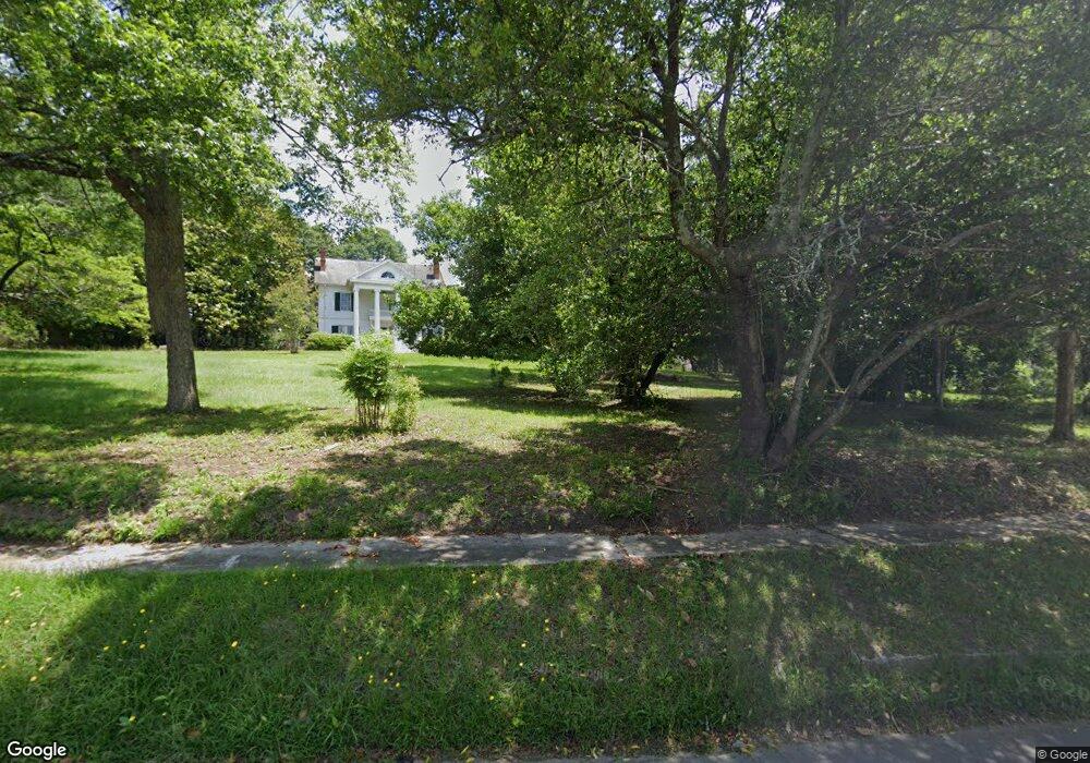
855 S Main St Union Point, GA 30669
Estimated Value: $213,000
3
Beds
2
Baths
1,640
Sq Ft
$130/Sq Ft
Est. Value
About This Home
This home is located at 855 S Main St, Union Point, GA 30669 and is currently estimated at $213,000, approximately $129 per square foot. 855 S Main St is a home located in Oglethorpe County with nearby schools including Oglethorpe County Primary School, Oglethorpe County Elementary School, and Oglethorpe County Middle School.
Ownership History
Date
Name
Owned For
Owner Type
Purchase Details
Closed on
Oct 1, 2021
Sold by
Tammen Deborah Jean
Bought by
Salle Wendy
Current Estimated Value
Purchase Details
Closed on
Feb 14, 2020
Sold by
Tammen Deborah Jean
Bought by
Whiting Phillip Mark and Whiting Sarah D
Home Financials for this Owner
Home Financials are based on the most recent Mortgage that was taken out on this home.
Original Mortgage
$56,693
Interest Rate
3.6%
Mortgage Type
New Conventional
Purchase Details
Closed on
Jan 18, 2019
Sold by
Tammen Deborah Jean
Bought by
Smith Selby Lane and Tammen Deborah Jean
Purchase Details
Closed on
Dec 28, 2011
Sold by
Smith Mary A
Bought by
Shealy Jimmy D and Shealy Susan B
Purchase Details
Closed on
Sep 16, 2005
Sold by
Smith Lloyd Charles
Bought by
Smith Mary A
Create a Home Valuation Report for This Property
The Home Valuation Report is an in-depth analysis detailing your home's value as well as a comparison with similar homes in the area
Purchase History
| Date | Buyer | Sale Price | Title Company |
|---|---|---|---|
| Salle Wendy | $300,000 | -- | |
| Whiting Phillip Mark | $145,000 | -- | |
| Smith Selby Lane | -- | -- | |
| Smith Selby Lane | -- | -- | |
| Smith Selby Lane | -- | -- | |
| Tammen Deborah Jean | -- | -- | |
| Shealy Jimmy D | $5,000 | -- | |
| Smith Mary A | -- | -- |
Source: Public Records
Mortgage History
| Date | Status | Borrower | Loan Amount |
|---|---|---|---|
| Previous Owner | Whiting Phillip Mark | $56,693 |
Source: Public Records
Tax History
| Year | Tax Paid | Tax Assessment Tax Assessment Total Assessment is a certain percentage of the fair market value that is determined by local assessors to be the total taxable value of land and additions on the property. | Land | Improvement |
|---|---|---|---|---|
| 2025 | $865 | $79,400 | $79,400 | $0 |
| 2023 | $811 | $75,640 | $75,640 | $0 |
| 2022 | $848 | $75,640 | $75,640 | $0 |
| 2021 | $919 | $75,640 | $75,640 | $0 |
| 2020 | $681 | $75,640 | $75,640 | $0 |
| 2019 | $3,370 | $116,904 | $82,000 | $34,904 |
| 2018 | $2,306 | $76,362 | $51,734 | $24,628 |
| 2017 | $1,400 | $76,362 | $51,734 | $24,628 |
| 2016 | $1,341 | $76,362 | $51,734 | $24,628 |
| 2015 | -- | $76,362 | $51,734 | $24,628 |
| 2014 | -- | $76,362 | $51,734 | $24,628 |
| 2013 | -- | $76,362 | $51,734 | $24,628 |
Source: Public Records
Map
Nearby Homes
- 0 Lovers Ln Unit 10690740
- 0 Lovers Ln Unit CL349036
- 290 Poplar Creek Rd
- 181 Lower Wirebridge Rd
- 0 Lower Wirebridge Rd
- 1774 Union Point Rd
- 1 Union Point Rd
- 125 Walker Gresham Rd
- 1500 Churchwell Rd
- 0 Bull Bray Rd
- 5011 Penfield Rd
- 5971 Penfield Rd
- 0 Woodville Rd Unit 7667944
- 0 Woodville Rd Unit 10628010
- 1091 Peachtree Ave E
- 0 Crawfordville Rd Unit 10674081
- 0 Crawfordville Rd Unit CL346865
- 1000 Nichols Rd
- 119 Ralph Bridges Rd
- 400 Salem Church Rd
- 847 S Main St
- 839 S Main St
- 2552 Union Point Rd
- 2565 Union Point Rd
- 2570 Union Point Rd
- 793 S Main St
- 855 Main St S
- 743 S Main St
- 2598 Union Point Rd
- 2605 Union Point Rd
- 230 Brookwood Dr
- 215 Willow St
- 208 Willow St
- 187 Willow St
- 200 Po Box
- 200 Brookwood Dr
- 210 Maple St
- 0 Willow St Unit 8349296
- 0 Willow St Unit Tract 3 8275987
- 0 Willow St Unit Tract 2 8275981
Your Personal Tour Guide
Ask me questions while you tour the home.