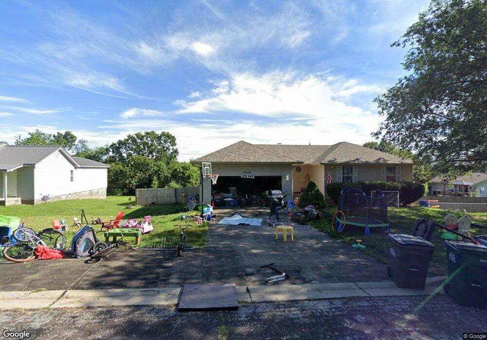
8555 Brookside Cir Monett, MO 65708
Estimated Value: $204,825 - $232,000
3
Beds
2
Baths
1,018
Sq Ft
$211/Sq Ft
Est. Value
About This Home
This home is located at 8555 Brookside Cir, Monett, MO 65708 and is currently estimated at $214,456, approximately $210 per square foot. 8555 Brookside Cir is a home with nearby schools including Monett Elementary School, Monett Intermediate School, and Central Park Elementary School.
Ownership History
Date
Name
Owned For
Owner Type
Purchase Details
Closed on
Aug 9, 2019
Sold by
Dunn Janice E
Bought by
Rounds John and Rounds Candice
Current Estimated Value
Home Financials for this Owner
Home Financials are based on the most recent Mortgage that was taken out on this home.
Original Mortgage
$70,125
Outstanding Balance
$61,454
Interest Rate
3.73%
Mortgage Type
New Conventional
Estimated Equity
$153,002
Create a Home Valuation Report for This Property
The Home Valuation Report is an in-depth analysis detailing your home's value as well as a comparison with similar homes in the area
Home Values in the Area
Average Home Value in this Area
Purchase History
| Date | Buyer | Sale Price | Title Company |
|---|---|---|---|
| Rounds John | -- | None Available |
Source: Public Records
Mortgage History
| Date | Status | Borrower | Loan Amount |
|---|---|---|---|
| Open | Rounds John | $70,125 |
Source: Public Records
Tax History
| Year | Tax Paid | Tax Assessment Tax Assessment Total Assessment is a certain percentage of the fair market value that is determined by local assessors to be the total taxable value of land and additions on the property. | Land | Improvement |
|---|---|---|---|---|
| 2025 | $1,194 | $24,610 | $2,360 | $22,250 |
| 2024 | $1,095 | $22,420 | $2,360 | $20,060 |
| 2023 | $1,031 | $22,420 | $2,360 | $20,060 |
| 2022 | $1,016 | $20,960 | $2,360 | $18,600 |
| 2021 | $1,018 | $20,960 | $2,360 | $18,600 |
| 2020 | $1,011 | $20,650 | $2,050 | $18,600 |
| 2019 | $964 | $20,650 | $2,050 | $18,600 |
| 2018 | $917 | $20,650 | $2,050 | $18,600 |
| 2017 | $911 | $20,650 | $2,050 | $18,600 |
| 2016 | -- | $18,830 | $2,050 | $16,780 |
| 2015 | -- | $18,830 | $2,050 | $16,780 |
| 2014 | -- | $18,830 | $2,050 | $16,780 |
Source: Public Records
Map
Nearby Homes
- Lot 276 Leon Ln
- Lot 279 Leon Ln
- Lot 278 Leon Ln
- Lot 277 Leon Ln
- Lot 280 Leon Ln
- 8496 Lawrence 2230
- 3 Remington Dr
- 4 Remington Dr
- 1105 N 14th St
- 23548 Lawrence 1090
- 8954 Lawrence 2226p
- 1401 6th St
- 000 County Road 1090
- 1413 4th St
- 1407 4th St
- 917 7th St
- 314 Birch St
- 23394 Lawrence 1096
- 505 9th St
- 102 Kingsley Dr
- 8567 Brookside Cir
- 1585 N 17th St
- 8536 Brookside Cir
- 1702 A & B Twin Oaks Dr
- 1704 Twin Oaks Dr
- 8578 Brookside Cir
- 1700 Twin Oaks Dr
- 1601 17th St
- 1583 17th St
- 8585 Brookside Cir
- 1800 Twin Oaks Dr
- 8580 Brookside Cir
- 8936 Brookside Cir
- Lot 5 Twin Oaks Dr Unit 5
- Tbd Twin Oaks Dr
- Lot 5 Twin Oaks Dr
- Lot 8 Twin Oaks Dr
- Lot 9 Twin Oaks Dr
- Tbd Brookside Cir
- 1802 Twin Oaks Dr
Your Personal Tour Guide
Ask me questions while you tour the home.