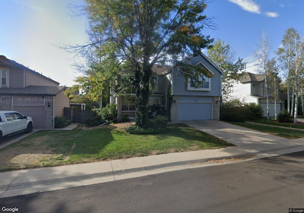
858 E 133rd Ave Thornton, CO 80241
Hunters Glen NeighborhoodEstimated Value: $658,940 - $708,000
4
Beds
4
Baths
2,913
Sq Ft
$233/Sq Ft
Est. Value
About This Home
This home is located at 858 E 133rd Ave, Thornton, CO 80241 and is currently estimated at $679,735, approximately $233 per square foot. 858 E 133rd Ave is a home located in Adams County with nearby schools including Hunters Glen Elementary School, Century Middle School, and Mountain Range High School.
Ownership History
Date
Name
Owned For
Owner Type
Purchase Details
Closed on
Sep 23, 2015
Sold by
Turner Hans and Turner Laura L
Bought by
Polson John and Polson Amy
Current Estimated Value
Home Financials for this Owner
Home Financials are based on the most recent Mortgage that was taken out on this home.
Original Mortgage
$284,000
Outstanding Balance
$221,679
Interest Rate
3.97%
Mortgage Type
New Conventional
Estimated Equity
$458,056
Purchase Details
Closed on
Jul 16, 2009
Sold by
Kasa Lawrence J and Kasa Maureen S
Bought by
Turner Hans and Turner Laura L
Home Financials for this Owner
Home Financials are based on the most recent Mortgage that was taken out on this home.
Original Mortgage
$284,747
Interest Rate
5.39%
Mortgage Type
FHA
Purchase Details
Closed on
Jan 12, 1993
Purchase Details
Closed on
Nov 18, 1992
Create a Home Valuation Report for This Property
The Home Valuation Report is an in-depth analysis detailing your home's value as well as a comparison with similar homes in the area
Home Values in the Area
Average Home Value in this Area
Purchase History
We collect this data history from publicly available records. To have your information removed, we recommend requesting removal directly through your county’s website.
| Date | Buyer | Sale Price | Title Company |
|---|---|---|---|
| Polson John | $355,000 | Homestead Title | |
| Turner Hans | $290,000 | Capital Title Llc | |
| -- | $169,800 | -- | |
| -- | $96,300 | -- |
Source: Public Records
Mortgage History
We collect this data history from publicly available records. To have your information removed, we recommend requesting removal directly through your county’s website.
| Date | Status | Borrower | Loan Amount |
|---|---|---|---|
| Open | Polson John | $284,000 | |
| Previous Owner | Turner Hans | $284,747 |
Source: Public Records
Tax History
| Year | Tax Paid | Tax Assessment Tax Assessment Total Assessment is a certain percentage of the fair market value that is determined by local assessors to be the total taxable value of land and additions on the property. | Land | Improvement |
|---|---|---|---|---|
| 2025 | $4,580 | $46,040 | $7,960 | $38,080 |
| 2024 | $4,580 | $42,310 | $7,310 | $35,000 |
| 2023 | $4,534 | $47,960 | $7,370 | $40,590 |
| 2022 | $3,630 | $32,950 | $7,580 | $25,370 |
| 2021 | $3,750 | $32,950 | $7,580 | $25,370 |
| 2020 | $3,744 | $33,560 | $7,790 | $25,770 |
| 2019 | $3,752 | $33,560 | $7,790 | $25,770 |
| 2018 | $3,521 | $30,600 | $7,490 | $23,110 |
| 2017 | $3,202 | $30,600 | $7,490 | $23,110 |
| 2016 | $2,738 | $25,480 | $4,860 | $20,620 |
| 2015 | $2,734 | $25,480 | $4,860 | $20,620 |
| 2014 | $2,642 | $22,900 | $4,220 | $18,680 |
Source: Public Records
Map
Nearby Homes
- 857 E 132nd Dr
- 13348 Downing St
- 13368 Downing St
- 820 E 131st Place
- 1100 E 130th Ave Unit D
- 1222 E 130th Ave Unit B
- 1224 E 130th Ave Unit C
- 12953 Lafayette St Unit B
- 12902 Clarkson Cir
- 1272 E 130th Ave Unit D
- 12937 Lafayette St Unit G
- 12933 Lafayette St Unit B
- 13042 Grant Cir E Unit C
- 13151 Grant Cir N Unit C
- 13072 Grant Cir E Unit C
- 12944 Grant Cir W Unit B
- 13000 Grant Cir W Unit B
- 12905 Lafayette St Unit H
- 0 128th & Washington St
- 12931 Grant Cir W Unit C
- 909 E 132nd Dr
- 897 E 132nd Dr
- 913 E 132nd Dr
- 868 E 133rd Ave
- 878 E 133rd Ave
- 893 E 132nd Dr
- 919 E 132nd Dr
- 906 E 132nd Dr
- 888 E 133rd Ave
- 916 E 132nd Dr
- 896 E 132nd Dr
- 848 E 133rd Ave
- 887 E 132nd Dr
- 898 E 133rd Ave
- 926 E 132nd Dr
- 838 E 133rd Ave
- 890 E 132nd Dr
- 879 E 132nd Cir
- 937 E 132nd Dr
- 938 E 133rd Ave
Your Personal Tour Guide
Ask me questions while you tour the home.