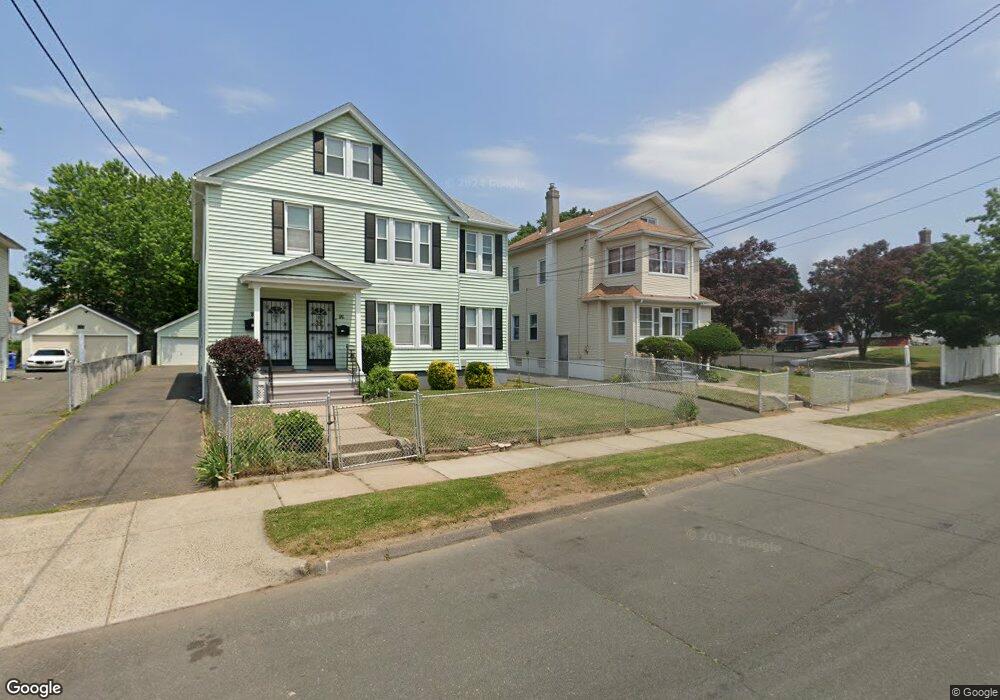
86 Colebrook St Unit 88 Hartford, CT 06112
Blue Hills NeighborhoodEstimated Value: $309,000 - $455,000
7
Beds
3
Baths
3,218
Sq Ft
$115/Sq Ft
Est. Value
About This Home
This home is located at 86 Colebrook St Unit 88, Hartford, CT 06112 and is currently estimated at $368,674, approximately $114 per square foot. 86 Colebrook St Unit 88 is a home located in Hartford County with nearby schools including Rawson School, Breakthrough Magnet School - North Campus, and West Middle School.
Ownership History
Date
Name
Owned For
Owner Type
Purchase Details
Closed on
Mar 13, 2008
Sold by
Est Hardaway Wilber and Hardaway Morris
Bought by
Mapp Esther
Current Estimated Value
Home Financials for this Owner
Home Financials are based on the most recent Mortgage that was taken out on this home.
Original Mortgage
$168,000
Outstanding Balance
$104,070
Interest Rate
5.72%
Estimated Equity
$264,604
Create a Home Valuation Report for This Property
The Home Valuation Report is an in-depth analysis detailing your home's value as well as a comparison with similar homes in the area
Home Values in the Area
Average Home Value in this Area
Purchase History
| Date | Buyer | Sale Price | Title Company |
|---|---|---|---|
| Mapp Esther | $180,000 | -- |
Source: Public Records
Mortgage History
| Date | Status | Borrower | Loan Amount |
|---|---|---|---|
| Closed | Mapp Esther | $21,250 | |
| Open | Mapp Esther | $168,000 | |
| Closed | Mapp Esther | $14,999 | |
| Previous Owner | Mapp Esther | $16,000 |
Source: Public Records
Tax History
| Year | Tax Paid | Tax Assessment Tax Assessment Total Assessment is a certain percentage of the fair market value that is determined by local assessors to be the total taxable value of land and additions on the property. | Land | Improvement |
|---|---|---|---|---|
| 2025 | $6,588 | $95,550 | $6,248 | $89,302 |
| 2024 | $6,588 | $95,550 | $6,248 | $89,302 |
| 2023 | $6,588 | $95,550 | $6,248 | $89,302 |
| 2022 | $7,232 | $104,885 | $6,248 | $98,637 |
| 2021 | $5,003 | $67,340 | $7,385 | $59,955 |
| 2020 | $5,003 | $67,340 | $7,385 | $59,955 |
| 2019 | $5,003 | $67,340 | $7,385 | $59,955 |
| 2018 | $4,834 | $65,070 | $7,136 | $57,934 |
| 2016 | $4,381 | $58,977 | $6,797 | $52,180 |
| 2015 | $4,173 | $56,175 | $6,473 | $49,702 |
| 2014 | $4,071 | $54,802 | $6,315 | $48,487 |
Source: Public Records
Map
Nearby Homes
- 334 Blue Hills Ave Unit 336
- 51 Pembroke St
- 153 Palm St
- 90 Manchester St
- 163 Manchester St
- 11-13 Pershing St
- 25 Cornwall St
- 273 Palm St
- 26-28 Baltic St
- 382 Vine St
- 148 Kent St Unit 150
- 300 Vine St Unit 302
- 431 Edgewood St Unit 433
- 97 E Burnham St
- 207 Greenfield St
- 98 E Burnham St
- 171 N Canaan St
- 280 Capen St
- 87 Mansfield St Unit 89
- 292 Enfield St Unit 294
- 90 Colebrook St Unit 92
- 82 Colebrook St
- 92 Colebrook St
- 94 Colebrook St Unit 96
- 203 Holcomb St Unit 205
- 87 Colebrook St Unit 89
- 199 Holcomb St Unit 201
- 98 Colebrook St Unit 100
- 207 Holcomb St Unit 209
- 363 Blue Hills Ave
- 95 Colebrook St Unit 97
- 83 Colebrook St Unit 85
- 83 Colebrook St Unit 2nd Floor
- 83 Colebrook St Unit 1st Floor
- 365 Blue Hills Ave
- 349 Blue Hills Ave Unit 2
- 102 Colebrook St
- 367 Blue Hills Ave
- 91 Colebrook St Unit 93
Your Personal Tour Guide
Ask me questions while you tour the home.