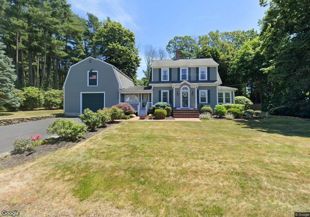
86 High St Hanson, MA 02341
Estimated Value: $524,996 - $601,000
4
Beds
2
Baths
1,672
Sq Ft
$343/Sq Ft
Est. Value
About This Home
This home is located at 86 High St, Hanson, MA 02341 and is currently estimated at $572,999, approximately $342 per square foot. 86 High St is a home located in Plymouth County.
Ownership History
Date
Name
Owned For
Owner Type
Purchase Details
Closed on
Sep 13, 2023
Sold by
86 High Street Rt and Carey
Bought by
Rosemaryhm Irt and Welch
Current Estimated Value
Purchase Details
Closed on
Apr 7, 2010
Sold by
Carey Rosemary
Bought by
86 High Street Rt and Carey
Create a Home Valuation Report for This Property
The Home Valuation Report is an in-depth analysis detailing your home's value as well as a comparison with similar homes in the area
Home Values in the Area
Average Home Value in this Area
Purchase History
| Date | Buyer | Sale Price | Title Company |
|---|---|---|---|
| Rosemaryhm Irt | -- | None Available | |
| 86 High Street Rt | -- | -- |
Source: Public Records
Tax History
| Year | Tax Paid | Tax Assessment Tax Assessment Total Assessment is a certain percentage of the fair market value that is determined by local assessors to be the total taxable value of land and additions on the property. | Land | Improvement |
|---|---|---|---|---|
| 2025 | $5,269 | $393,800 | $182,400 | $211,400 |
| 2024 | $5,179 | $387,100 | $177,100 | $210,000 |
| 2023 | $5,162 | $364,000 | $177,100 | $186,900 |
| 2022 | $5,051 | $334,700 | $161,000 | $173,700 |
| 2021 | $4,583 | $303,500 | $154,800 | $148,700 |
| 2020 | $4,358 | $285,400 | $149,600 | $135,800 |
| 2019 | $4,238 | $272,900 | $146,700 | $126,200 |
| 2018 | $4,271 | $264,900 | $141,100 | $123,800 |
| 2017 | $4,069 | $254,600 | $134,300 | $120,300 |
| 2016 | $4,164 | $251,600 | $134,300 | $117,300 |
| 2015 | $3,970 | $249,400 | $134,300 | $115,100 |
Source: Public Records
Map
Nearby Homes
- 38 High St Unit 8
- 1054 Main St
- 72 Phillips St
- 170 Elm St
- Lot 6 Way
- Lot 2 Harvard Rd
- 361A County Rd
- 361 County Rd
- 61 Sawmill Ln
- 61 Sawmill Ln Unit 61
- 26 Franklin St
- 1754 Central St
- 501 W Washington St
- 161 Winter St Unit 11
- 126-130 Franklin St
- 143 Plymouth St
- 134 Crescent St
- 54 Leaf Ln
- 84 Liberty St
- 77 Branch Rd
Your Personal Tour Guide
Ask me questions while you tour the home.