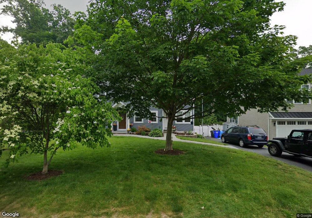
86 Mayweed Rd Fairfield, CT 06824
University NeighborhoodEstimated Value: $714,000 - $1,089,000
About This Home
This home is located at 86 Mayweed Rd, Fairfield, CT 06824 and is currently estimated at $943,541, approximately $549 per square foot. 86 Mayweed Rd is a home located in Fairfield County with nearby schools including Osborn Hill Elementary School, Fairfield Woods Middle School, and Fairfield Ludlowe High School.
Ownership History
We collect this data history from publicly available records. To have your information removed, we recommend requesting removal directly through your county’s website.
Purchase Details
Home Financials for this Owner
Home Financials are based on the most recent Mortgage that was taken out on this home.Home Values in the Area
Average Home Value in this Area
Purchase History
We collect this data history from publicly available records. To have your information removed, we recommend requesting removal directly through your county’s website.
| Date | Buyer | Sale Price | Title Company |
|---|---|---|---|
| $494,000 | -- | ||
| $494,000 | -- |
Mortgage History
We collect this data history from publicly available records. To have your information removed, we recommend requesting removal directly through your county’s website.
| Date | Status | Borrower | Loan Amount |
|---|---|---|---|
| Open | $395,200 | ||
| Closed | $74,100 | ||
| Closed | $395,200 |
Tax History
We collect this data history from publicly available records. To have your information removed, we recommend requesting removal directly through your county’s website.
| Year | Tax Paid | Tax Assessment Tax Assessment Total Assessment is a certain percentage of the fair market value that is determined by local assessors to be the total taxable value of land and additions on the property. | Land | Improvement |
|---|---|---|---|---|
| 2025 | $10,429 | $367,360 | $236,110 | $131,250 |
| 2024 | $10,249 | $367,360 | $236,110 | $131,250 |
| 2023 | $10,106 | $367,360 | $236,110 | $131,250 |
| 2022 | $10,007 | $367,360 | $236,110 | $131,250 |
| 2021 | $9,911 | $367,360 | $236,110 | $131,250 |
| 2020 | $8,208 | $306,390 | $193,900 | $112,490 |
| 2019 | $8,208 | $306,390 | $193,900 | $112,490 |
| 2018 | $8,076 | $306,390 | $193,900 | $112,490 |
| 2017 | $7,911 | $306,390 | $193,900 | $112,490 |
| 2016 | $7,798 | $306,390 | $193,900 | $112,490 |
| 2015 | $7,802 | $314,720 | $205,800 | $108,920 |
| 2014 | $7,679 | $314,720 | $205,800 | $108,920 |
Map
- 1646 Jennings Rd
- 1747 Jennings Rd
- 67 Sigwin Dr
- 533 N Benson Rd
- 276 Pemburn Dr
- 84 University Dr
- 28 Raymonds Dr
- 27 Brookdale Rd
- 52 Robin Ln
- 46 Reynolds Dr
- 631 Reid St
- 21 Ardmore St
- 245 Sunnyridge Ave Unit 15
- 694 Jennings Rd
- 54 Elm St
- 50 Stone Ridge Way Unit 2A
- 12 Sconset Dr
- 464 Round Hill Rd
- 280 Tuckahoe Ln
- 179 Lawrence Rd
- 172 Mayweed Rd
- 104 Mayweed Rd
- 72 Mayweed Rd
- 56 Mayweed Rd
- 79 Mayweed Rd
- 93 Mayweed Rd
- 120 Mayweed Rd
- 111 Mayweed Rd
- 1538 Jennings Rd
- 65 Mayweed Rd
- Lot 2 Tanaka Glen
- 40 Mayweed Rd
- 144 Mayweed Rd
- 1508 Jennings Rd
- 1492 Jennings Rd
- 25 Mayweed Rd
- 1446 Jennings Rd
- 400 Wormwood Rd
- 384 Wormwood Rd
- 430 Wormwood Rd
Ask me questions while you tour the home.