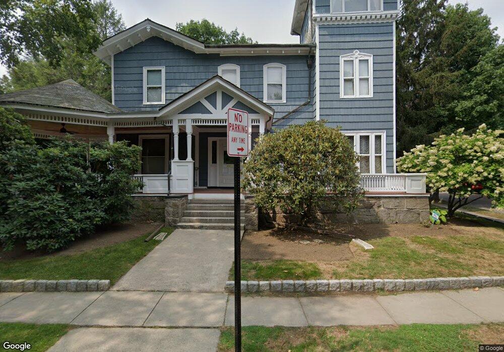
86 Powell St Brookline, MA 02446
Coolidge Corner NeighborhoodEstimated Value: $2,836,000 - $5,326,000
5
Beds
5
Baths
4,108
Sq Ft
$928/Sq Ft
Est. Value
About This Home
This home is located at 86 Powell St, Brookline, MA 02446 and is currently estimated at $3,811,807, approximately $927 per square foot. 86 Powell St is a home located in Norfolk County with nearby schools including Amos A. Lawrence School, Brookline High School, and Match Charter Public School.
Ownership History
Date
Name
Owned For
Owner Type
Purchase Details
Closed on
Feb 10, 2025
Sold by
Liberman David
Bought by
86 Powell Rt and Liberman
Current Estimated Value
Purchase Details
Closed on
Apr 18, 2007
Sold by
Liberman David and Ferry Judith A
Bought by
Liberman David
Purchase Details
Closed on
Aug 5, 1996
Sold by
Binton Alice
Bought by
Liberman David and Liberman Judith F
Home Financials for this Owner
Home Financials are based on the most recent Mortgage that was taken out on this home.
Original Mortgage
$400,000
Interest Rate
8.27%
Mortgage Type
Purchase Money Mortgage
Create a Home Valuation Report for This Property
The Home Valuation Report is an in-depth analysis detailing your home's value as well as a comparison with similar homes in the area
Home Values in the Area
Average Home Value in this Area
Purchase History
| Date | Buyer | Sale Price | Title Company |
|---|---|---|---|
| 86 Powell Rt | -- | None Available | |
| 86 Powell Rt | -- | None Available | |
| Liberman David | -- | -- | |
| Liberman David | -- | -- | |
| Liberman David | $615,000 | -- |
Source: Public Records
Mortgage History
| Date | Status | Borrower | Loan Amount |
|---|---|---|---|
| Previous Owner | Liberman David | $1,248,750 | |
| Previous Owner | Liberman David | $400,000 |
Source: Public Records
Tax History
| Year | Tax Paid | Tax Assessment Tax Assessment Total Assessment is a certain percentage of the fair market value that is determined by local assessors to be the total taxable value of land and additions on the property. | Land | Improvement |
|---|---|---|---|---|
| 2025 | $33,886 | $3,433,200 | $1,473,300 | $1,959,900 |
| 2024 | $32,291 | $3,305,100 | $1,416,600 | $1,888,500 |
| 2023 | $31,160 | $3,125,400 | $1,310,800 | $1,814,600 |
| 2022 | $30,332 | $2,976,600 | $1,248,400 | $1,728,200 |
| 2021 | $28,049 | $2,862,100 | $1,200,400 | $1,661,700 |
| 2020 | $25,808 | $2,731,000 | $1,091,300 | $1,639,700 |
| 2019 | $24,370 | $2,600,900 | $1,039,300 | $1,561,600 |
| 2018 | $22,514 | $2,379,900 | $866,900 | $1,513,000 |
| 2017 | $22,184 | $2,245,300 | $817,800 | $1,427,500 |
| 2016 | $21,865 | $2,098,400 | $764,300 | $1,334,100 |
| 2015 | $21,061 | $1,972,000 | $714,300 | $1,257,700 |
| 2014 | $21,338 | $1,873,400 | $595,400 | $1,278,000 |
Source: Public Records
Map
Nearby Homes
- 108 Crowninshield Rd
- 7 Parkman St Unit 1
- 99 Crowninshield Rd Unit 99
- 39 Worthington Rd
- 79 Pleasant St Unit 4
- 180 Ivy St
- 178 Ivy St
- 105 Babcock St
- 63-65 Green St Unit PH-3
- 14 James St Unit 3
- 95 Stedman St Unit 1
- 21 Crowninshield Rd Unit 21
- 100 Sewall Ave Unit 5
- 95 Beals St Unit 2
- 36 Osborne Rd Unit 1
- 36 Osborne Rd
- 53 Winslow Rd
- 52 Babcock St Unit 5
- 52 Babcock St Unit 1
- 50 Longwood Ave Unit 518
- 78 Powell St
- 145 Freeman St Unit 283 - 32
- 277 Saint Paul St
- 277 Saint Paul St Unit 23
- 277 Saint Paul St Unit 3
- 277 Saint Paul St Unit 918L
- 277 Saint Paul St Unit 920Li
- 271 Saint Paul St
- 271 Saint Paul St Unit 31
- 271 Saint Paul St Unit 1
- 271 Saint Paul St
- 271 Saint Paul St Unit 6
- 150 Freeman St Unit 2
- 150 Freeman St Unit 5
- 150 Freeman St Unit 1
- 150 Freeman St Unit 31
- 150 Freeman St Unit 3
- 150 Freeman St
- 265 Saint Paul St
- 265 Saint Paul St Unit 265
Your Personal Tour Guide
Ask me questions while you tour the home.