860 Locust Fork Rd Stamping Ground, KY 40379
Estimated Value: $357,000 - $434,000
3
Beds
3
Baths
1,772
Sq Ft
$218/Sq Ft
Est. Value
About This Home
This home is located at 860 Locust Fork Rd, Stamping Ground, KY 40379 and is currently estimated at $385,990, approximately $217 per square foot. 860 Locust Fork Rd is a home located in Scott County with nearby schools including Stamping Ground Elementary School, Royal Spring Middle School, and Scott County High School.
Ownership History
Date
Name
Owned For
Owner Type
Purchase Details
Closed on
Jun 23, 2022
Sold by
Adams Edward T and Adams Joyce
Bought by
Mcfarland William and Mcfarland Jennifer L
Current Estimated Value
Home Financials for this Owner
Home Financials are based on the most recent Mortgage that was taken out on this home.
Original Mortgage
$234,025
Outstanding Balance
$221,032
Interest Rate
5.1%
Mortgage Type
FHA
Estimated Equity
$164,958
Purchase Details
Closed on
Feb 26, 2018
Sold by
Sparrow Kyle Clay and Sparrow Jaime Renee
Bought by
Mcfarland Jennifer L and Mcfarland William Todd
Home Financials for this Owner
Home Financials are based on the most recent Mortgage that was taken out on this home.
Original Mortgage
$209,142
Interest Rate
4.04%
Mortgage Type
FHA
Create a Home Valuation Report for This Property
The Home Valuation Report is an in-depth analysis detailing your home's value as well as a comparison with similar homes in the area
Home Values in the Area
Average Home Value in this Area
Purchase History
| Date | Buyer | Sale Price | Title Company |
|---|---|---|---|
| Mcfarland William | -- | Marshall Rand | |
| Mcfarland Jennifer L | $213,000 | None Available |
Source: Public Records
Mortgage History
| Date | Status | Borrower | Loan Amount |
|---|---|---|---|
| Open | Mcfarland William | $234,025 | |
| Previous Owner | Mcfarland Jennifer L | $209,142 |
Source: Public Records
Tax History
| Year | Tax Paid | Tax Assessment Tax Assessment Total Assessment is a certain percentage of the fair market value that is determined by local assessors to be the total taxable value of land and additions on the property. | Land | Improvement |
|---|---|---|---|---|
| 2025 | $2,201 | $247,100 | $0 | $0 |
| 2024 | $2,191 | $243,600 | $0 | $0 |
| 2023 | $2,120 | $233,800 | $50,000 | $183,800 |
| 2022 | $1,988 | $233,800 | $50,000 | $183,800 |
| 2021 | $1,940 | $221,200 | $40,000 | $181,200 |
| 2020 | $1,855 | $215,900 | $40,000 | $175,900 |
| 2019 | $1,859 | $213,000 | $0 | $0 |
| 2018 | $1,905 | $219,559 | $0 | $0 |
| 2017 | $1,892 | $216,994 | $0 | $0 |
| 2016 | $1,747 | $216,994 | $0 | $0 |
| 2015 | $1,736 | $217,000 | $0 | $0 |
| 2014 | $1,658 | $217,000 | $0 | $0 |
| 2011 | $1,578 | $217,000 | $0 | $0 |
Source: Public Records
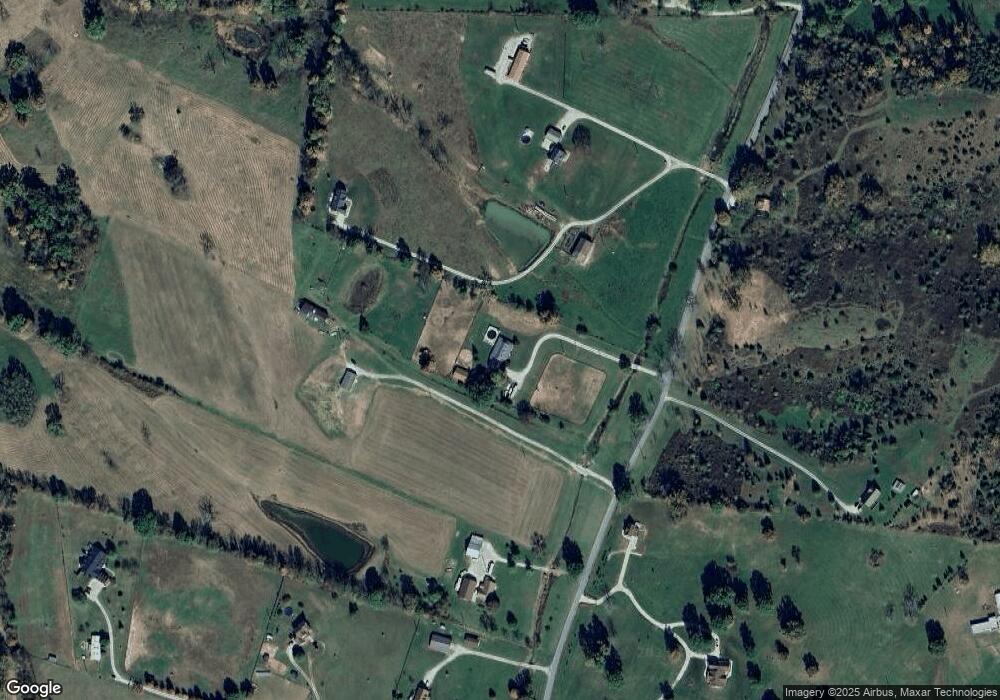
Map
Nearby Homes
- 784 Locust Fork Rd
- 459 Locust Fork Rd
- 354 Locust Fork Rd
- 130 Locust Fork Rd
- 322 Locust Fork Rd
- 106 Elk Dr
- 106 Bison Way
- 104 Bison Way
- 115 Wright St
- Lot #4 Woodlake Rd Unit Lot 4
- 1085 Woodlake Rd
- 158 Riley St
- 635A Lot A White Oak Rd
- 594 Skinnersburg Rd
- 1223 Glass Pike
- 119 Walnut Creek Dr
- 0000 Union Ridge Rd
- 0 Union Ridge Rd
- 352 Suterville Rd
- 115 Winding View Trail
- 848 Locust Fork Rd
- 958 Locust Fork Rd
- 941 Locust Fork Rd
- 780 Locust Fork Rd
- 855 Locust Fork Rd
- 998 Locust Fork Rd
- 788 Locust Fork Rd
- 1010 Locust Fork Rd
- 997 Locust Fork Rd
- 1005 Locust Fork Rd
- 760 Locust Fork Rd
- 124 W Honaker Rd
- 316 W Honaker Rd
- 247 W Honaker Rd
- 251 W Honaker Rd
- 1023 Locust Fork Rd
- 185 W Honaker Rd
- 1006 Locust Fork Rd
- 137 W Honaker Rd
- 740 Locust Fork Rd
Your Personal Tour Guide
Ask me questions while you tour the home.