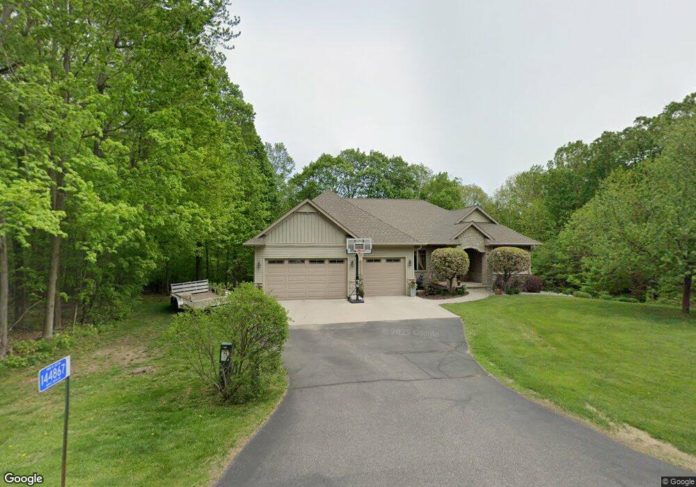
8600 Maplecrest Dr Wausau, WI 54401
Estimated Value: $565,000 - $1,155,000
Studio
--
Bath
--
Sq Ft
77,972
Sq Ft Lot
About This Home
This home is located at 8600 Maplecrest Dr, Wausau, WI 54401 and is currently estimated at $765,676. 8600 Maplecrest Dr is a home located in Marathon County with nearby schools including Stettin Elementary School, John Muir Middle School, and West High School.
Ownership History
Date
Name
Owned For
Owner Type
Purchase Details
Closed on
Jun 29, 2007
Sold by
Pinehurst Llc
Bought by
Leischer Gregory L and Leischer Tammy L
Current Estimated Value
Home Financials for this Owner
Home Financials are based on the most recent Mortgage that was taken out on this home.
Original Mortgage
$376,800
Outstanding Balance
$226,939
Interest Rate
6.26%
Mortgage Type
Unknown
Estimated Equity
$538,737
Purchase Details
Closed on
Mar 16, 2006
Sold by
Pinehurst Llc
Bought by
Pinehurst Llc and Jeremy Voigt Construction Co Llc
Home Financials for this Owner
Home Financials are based on the most recent Mortgage that was taken out on this home.
Original Mortgage
$340,000
Interest Rate
6.38%
Mortgage Type
Future Advance Clause Open End Mortgage
Purchase Details
Closed on
Nov 15, 2005
Sold by
Wiater Joseph P and Wiater Michelle M
Bought by
Pinehurst Llc
Create a Home Valuation Report for This Property
The Home Valuation Report is an in-depth analysis detailing your home's value as well as a comparison with similar homes in the area
Purchase History
| Date | Buyer | Sale Price | Title Company |
|---|---|---|---|
| Leischer Gregory L | $482,500 | Advanced Title Concepts Llc | |
| Pinehurst Llc | $17,500 | None Available | |
| Pinehurst Llc | -- | None Available |
Source: Public Records
Mortgage History
| Date | Status | Borrower | Loan Amount |
|---|---|---|---|
| Open | Leischer Gregory L | $376,800 | |
| Previous Owner | Pinehurst Llc | $340,000 |
Source: Public Records
Tax History
| Year | Tax Paid | Tax Assessment Tax Assessment Total Assessment is a certain percentage of the fair market value that is determined by local assessors to be the total taxable value of land and additions on the property. | Land | Improvement |
|---|---|---|---|---|
| 2025 | $7,655 | $488,000 | $43,500 | $444,500 |
| 2024 | $3,830 | $488,000 | $43,500 | $444,500 |
| 2023 | $8,606 | $488,000 | $43,500 | $444,500 |
| 2022 | $7,853 | $488,000 | $43,500 | $444,500 |
| 2021 | $7,709 | $488,000 | $43,500 | $444,500 |
| 2020 | $7,257 | $385,900 | $39,400 | $346,500 |
| 2019 | $7,347 | $385,900 | $39,400 | $346,500 |
| 2018 | $7,509 | $385,900 | $39,400 | $346,500 |
| 2017 | $7,403 | $385,900 | $39,400 | $346,500 |
| 2016 | $7,019 | $385,900 | $39,400 | $346,500 |
| 2015 | $7,475 | $385,900 | $39,400 | $346,500 |
| 2014 | $7,143 | $385,900 | $39,400 | $346,500 |
Source: Public Records
Map
Nearby Homes
- 145683 Flint Creek Cir
- 231781 Twin Fawn Trail Unit SA19
- 231708 Twin Fawn Trail Unit SA14
- 231715 Twin Fawn Trail
- 120 Acres Stettin Dr
- .80 Acres County Road U
- 231768 N 104th Ave
- 6050 W Cassidy Dr
- LOT 2 Highland Dr
- LOT 1 Highland Dr
- 142806 Rolling Meadows Ln
- 105 S 66th Ave
- 212 Windtree Dr
- 6007 Birchwood Dr
- 210 Bluestone Dr
- 4615 Rib River Trail
- 4402 Hilltop Ave
- 4711 Edgewood Blvd
- 4512 Stettin Dr
- 3525 W Wausau Ave
- 8625 Maple Crest Dr
- 144833 Maple Crest Dr
- 8625 Maplecrest Dr
- 144885 Maple Crest Dr
- 8560 Maplecrest Dr
- 8640 Maple Hill Dr
- 8640 Maplecrest Dr
- 8555 Maplecrest Dr
- 144895 Maple Crest Dr
- 8680 Maple Hill Dr
- 8680 Maplecrest Dr
- 144924 Maple Crest Dr
- 8695 Maplecrest Dr
- 8520 Maplecrest Dr
- 145203 Bristers Hill Rd
- 1834 N 80th Ave
- 8475 Maple Hill Dr
- 8475 Maplecrest Dr
- 144764 Maple Crest Dr
- 8480 Maplecrest Dr
Your Personal Tour Guide
Ask me questions while you tour the home.