8602 Dangerfield Rd Clinton, MD 20735
Estimated Value: $404,171 - $493,000
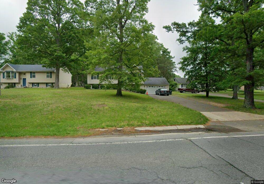
About This Home
This home is located at 8602 Dangerfield Rd, Clinton, MD 20735 and is currently estimated at $455,043, approximately $372 per square foot. 8602 Dangerfield Rd is a home located in Prince George's County with nearby schools including Melwood Elementary School, James Madison Middle School, and Frederick Douglass High School.
Ownership History
We collect this data history from publicly available records. To have your information removed, we recommend requesting removal directly through your county’s website.
Purchase Details
Purchase Details
Home Values in the Area
Average Home Value in this Area
Purchase History
We collect this data history from publicly available records. To have your information removed, we recommend requesting removal directly through your county’s website.
| Date | Buyer | Sale Price | Title Company |
|---|---|---|---|
| -- | Brennan Title | ||
| -- | Brennan Title | ||
| $200,200 | -- |
Tax History
We collect this data history from publicly available records. To have your information removed, we recommend requesting removal directly through your county’s website.
| Year | Tax Paid | Tax Assessment Tax Assessment Total Assessment is a certain percentage of the fair market value that is determined by local assessors to be the total taxable value of land and additions on the property. | Land | Improvement |
|---|---|---|---|---|
| 2025 | $4,928 | $385,300 | $103,800 | $281,500 |
| 2024 | $4,928 | $369,367 | -- | -- |
| 2023 | $4,770 | $353,433 | $0 | $0 |
| 2022 | $4,566 | $337,500 | $103,800 | $233,700 |
| 2021 | $4,396 | $327,300 | $0 | $0 |
| 2020 | $4,323 | $317,100 | $0 | $0 |
| 2019 | $4,226 | $306,900 | $101,900 | $205,000 |
| 2018 | $4,056 | $285,833 | $0 | $0 |
| 2017 | $3,909 | $264,767 | $0 | $0 |
| 2016 | -- | $243,700 | $0 | $0 |
| 2015 | $3,381 | $241,600 | $0 | $0 |
| 2014 | $3,381 | $239,500 | $0 | $0 |
Map
- 8514 Dangerfield Rd
- 0 Dangerfield Rd
- 8400 Cedar Chase Dr
- 8504 Woodyard Rd
- 7912 Fox Lair Ct
- 8705 Francesca Dr
- 10104 Dangerfield Rd
- 8705 Delphi Dr
- 8707 Delphi Dr
- 7705 Old Alexandria Ferry Rd
- 8507 Shorthills Dr
- 9009 Eldon Dr
- 9003 Eldon Dr
- 8403 Branchwood Cir
- 9200 Fox Park Rd
- 7506 Castle Rock Dr
- 8811 Gladeside Dr
- 9409 Cheltenham Ave
- 7504 Foxcroft Ct
- 9104 Rama Ct
- 8600 Dangerfield Rd
- 8606 Dangerfield Rd
- 8514 Dangerfield Rd Unit LOWER LEVEL
- 8610 Dangerfield Rd
- 8603 Dangerfield Rd
- 8607 Deborah St
- 8510 Dangerfield Rd
- 8605 Dangerfield Rd
- 8601 Dangerfield Rd
- 8701 Deborah St
- 8607 Dangerfield Rd
- 8609 Deborah St
- 8612 Dangerfield Rd
- 8703 Deborah St
- 8601 Deborah St
- 8605 Deborah St
- 8511 Dangerfield Rd
- 8609 Dangerfield Rd
- 8504 Dangerfield Rd
- 8503 Deborah St
Ask me questions while you tour the home.