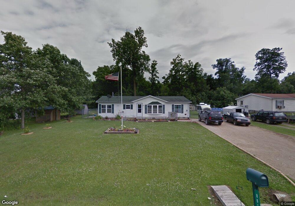
861 Daniel St Quincy, MI 49082
Estimated Value: $134,000 - $168,913
3
Beds
2
Baths
1,352
Sq Ft
$113/Sq Ft
Est. Value
About This Home
This home is located at 861 Daniel St, Quincy, MI 49082 and is currently estimated at $152,728, approximately $112 per square foot. 861 Daniel St is a home located in Branch County with nearby schools including Jennings Elementary School, Quincy Middle School, and Quincy High School.
Ownership History
Date
Name
Owned For
Owner Type
Purchase Details
Closed on
Nov 6, 2009
Sold by
Green Tree Servicing Llc
Bought by
Wendorf Corinna
Current Estimated Value
Home Financials for this Owner
Home Financials are based on the most recent Mortgage that was taken out on this home.
Original Mortgage
$39,275
Interest Rate
6.6%
Mortgage Type
FHA
Purchase Details
Closed on
Jul 3, 2001
Bought by
Stahl Joshua J and Stahl Brenda R
Purchase Details
Closed on
Apr 9, 1998
Bought by
P & K Development
Create a Home Valuation Report for This Property
The Home Valuation Report is an in-depth analysis detailing your home's value as well as a comparison with similar homes in the area
Purchase History
| Date | Buyer | Sale Price | Title Company |
|---|---|---|---|
| Wendorf Corinna | $40,000 | Meridian Title | |
| Stahl Joshua J | $10,000 | -- | |
| P & K Development | $4,700 | -- |
Source: Public Records
Mortgage History
| Date | Status | Borrower | Loan Amount |
|---|---|---|---|
| Previous Owner | Wendorf Corinna | $39,275 |
Source: Public Records
Tax History
| Year | Tax Paid | Tax Assessment Tax Assessment Total Assessment is a certain percentage of the fair market value that is determined by local assessors to be the total taxable value of land and additions on the property. | Land | Improvement |
|---|---|---|---|---|
| 2025 | $835 | $64,489 | $0 | $0 |
| 2024 | $3 | $59,984 | $0 | $0 |
| 2023 | $277 | $56,515 | $0 | $0 |
| 2022 | $277 | $41,656 | $0 | $0 |
| 2020 | -- | $39,579 | $0 | $0 |
| 2019 | -- | $35,860 | $0 | $0 |
| 2018 | -- | $31,602 | $0 | $0 |
| 2017 | -- | $27,945 | $0 | $0 |
| 2016 | -- | $28,026 | $0 | $0 |
| 2015 | -- | $28,818 | $0 | $0 |
| 2014 | -- | $27,157 | $0 | $0 |
| 2013 | -- | $25,294 | $0 | $0 |
Source: Public Records
Map
Nearby Homes
- 493 Richard St
- 437 Richard St
- 46 W Chicago St
- 29 Broughton St
- 20 S Main St
- 8 Hunting Trail Ave
- 345 N Fremont Rd
- 201 Wildwood Beach Rd
- 0 Lott Rd
- VL N Fiske Rd
- 410 N Fiske Rd
- 981 Generic Dr
- 0 Wildwood Rd
- 586 Schaeffer Dr
- 0 N Willowbrook Rd Unit 24042121
- 944 Lukesport Rd
- 9 Lynn Ct
- 47 Tanner Run Unit 9
- 147 Dons Dr
- 175 N Michigan Ave Unit 149
Your Personal Tour Guide
Ask me questions while you tour the home.