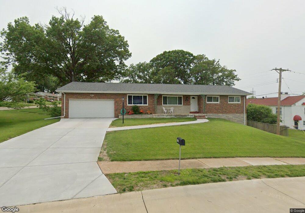
8621 Brookview Dr Saint Louis, MO 63126
Estimated Value: $345,000 - $394,000
About This Home
This home is located at 8621 Brookview Dr, Saint Louis, MO 63126 and is currently estimated at $363,991, approximately $207 per square foot. 8621 Brookview Dr is a home located in St. Louis County with nearby schools including Long Elementary, Truman Middle School, and Lindbergh High School.
Ownership History
We collect this data history from publicly available records. To have your information removed, we recommend requesting removal directly through your county’s website.
Purchase Details
Home Financials for this Owner
Home Financials are based on the most recent Mortgage that was taken out on this home.Home Values in the Area
Average Home Value in this Area
Purchase History
We collect this data history from publicly available records. To have your information removed, we recommend requesting removal directly through your county’s website.
| Date | Buyer | Sale Price | Title Company |
|---|---|---|---|
| -- | -- |
Mortgage History
We collect this data history from publicly available records. To have your information removed, we recommend requesting removal directly through your county’s website.
| Date | Status | Borrower | Loan Amount |
|---|---|---|---|
| Open | $115,360 |
Tax History
We collect this data history from publicly available records. To have your information removed, we recommend requesting removal directly through your county’s website.
| Year | Tax Paid | Tax Assessment Tax Assessment Total Assessment is a certain percentage of the fair market value that is determined by local assessors to be the total taxable value of land and additions on the property. | Land | Improvement |
|---|---|---|---|---|
| 2025 | $4,136 | $60,800 | $22,210 | $38,590 |
| 2024 | $4,136 | $59,560 | $22,210 | $37,350 |
| 2023 | $4,136 | $59,560 | $22,210 | $37,350 |
| 2022 | $3,748 | $52,020 | $22,210 | $29,810 |
| 2021 | $3,416 | $52,020 | $22,210 | $29,810 |
| 2020 | $3,221 | $47,290 | $16,660 | $30,630 |
| 2019 | $3,212 | $47,290 | $16,660 | $30,630 |
| 2018 | $2,804 | $37,370 | $9,040 | $28,330 |
| 2017 | $2,774 | $37,370 | $9,040 | $28,330 |
| 2016 | $2,246 | $30,590 | $8,090 | $22,500 |
| 2015 | $2,259 | $30,590 | $8,090 | $22,500 |
| 2014 | $2,392 | $32,080 | $8,060 | $24,020 |
Map
- 8720 Brookview Dr
- 1432 Woodhue Dr
- 920 Volz Dr
- 1550 Grant Rd
- 1029 Coffey Ct
- 9509 Arban Dr
- 38 Pinewood Dr
- 451 Linum Ln
- 35 Pinewood Dr
- 886 Woodbine Dr
- 7965 Royal Arms Ct Unit 1
- 8563 Old Sappington Rd
- 7921 Royal Arms Ct Unit 1
- 7903 Royal Arms Ct Unit 1
- 7916 Camelot Ln Unit 4
- 1416 Azalea Dr
- 1018 Ferndale Ave
- 829 S Sappington Rd
- 7955 S Rock Hill Rd
- 1008 Etherton Dr
- 9217 Lurline Dr
- 9221 Lurline Dr
- 9120 Watson Rd
- 9120 Watson Rd Unit BOTTOM
- 9214 Lurline Dr
- 8622 Brookview Dr
- 8701 Brookview Dr
- 8618 Brookview Dr
- 9225 Lurline Dr
- 9218 Lurline Dr
- 8630 Brookview Dr
- 8700 Brookview Dr
- 9222 Lurline Dr
- 9229 Lurline Dr
- 9211 Silvercrest Dr
- 8704 Brookview Dr
- 9215 Silvercrest Dr
- 9226 Lurline Dr
- 8707 Brookview Dr
- 9219 Silvercrest Dr
Ask me questions while you tour the home.