865 Smith Rd Ball Ground, GA 30107
Waleska AreaEstimated Value: $930,338 - $1,283,000
About This Home
This home is located at 865 Smith Rd, Ball Ground, GA 30107 and is currently estimated at $1,110,335, approximately $272 per square foot. 865 Smith Rd is a home located in Cherokee County with nearby schools including Clayton Elementary School, Teasley Middle School, and Cherokee High School.
Ownership History
We collect this data history from publicly available records. To have your information removed, we recommend requesting removal directly through your county’s website.
Purchase Details
Purchase Details
Home Values in the Area
Average Home Value in this Area
Mortgage History
We collect this data history from publicly available records. To have your information removed, we recommend requesting removal directly through your county’s website.
| Date | Status | Borrower | Loan Amount |
|---|---|---|---|
| Closed | $281,071 | ||
| Closed | $365,000 | ||
| Closed | $322,600 | ||
| Closed | $50,000 | ||
| Closed | $326,000 | ||
| Closed | $303,000 |
Tax History
We collect this data history from publicly available records. To have your information removed, we recommend requesting removal directly through your county’s website.
| Year | Tax Paid | Tax Assessment Tax Assessment Total Assessment is a certain percentage of the fair market value that is determined by local assessors to be the total taxable value of land and additions on the property. | Land | Improvement |
|---|---|---|---|---|
| 2025 | $7,359 | $312,596 | $100,440 | $212,156 |
| 2024 | $6,774 | $284,408 | $71,760 | $212,648 |
| 2023 | $5,375 | $238,576 | $60,520 | $178,056 |
| 2022 | $5,595 | $225,308 | $51,560 | $173,748 |
| 2021 | $5,291 | $192,396 | $44,840 | $147,556 |
| 2020 | $4,907 | $175,648 | $44,840 | $130,808 |
| 2019 | $4,955 | $177,360 | $44,840 | $132,520 |
| 2018 | $4,812 | $170,600 | $44,840 | $125,760 |
| 2017 | $4,912 | $431,900 | $44,840 | $127,920 |
| 2016 | $4,700 | $409,400 | $44,840 | $118,920 |
| 2015 | $4,168 | $360,200 | $28,640 | $115,440 |
| 2014 | $3,997 | $345,000 | $27,400 | $110,600 |
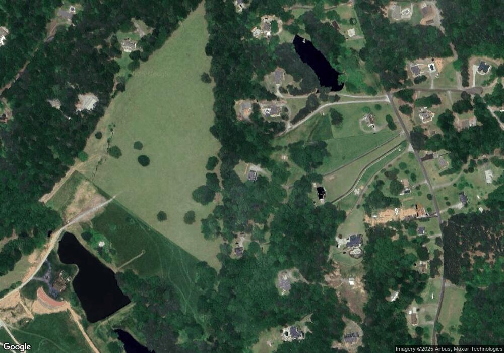
Map
- 106 Shalea Ln
- 105 Shalea Ln
- 261 Clayton Trail
- 301 Clayton Trail
- 532 Black Horse Cir
- 355 Harrison Ln
- 508 Black Horse Cir
- 457 Arlington Way
- 0 Williams Tract D Ln Unit 7738689
- 0 Williams Tract D Ln Unit 10714988
- 245 Frances Rd
- 864 Blackberry Trail
- 129 Cline Valley Place
- 626 Valdosta Dr
- 711 Upper Burris Rd
- 358 Denali Butte Terrace
- 422 Murphy Ave
- 661 Valdosta Dr
- 507 Appalachian Place
- 331 Blackberry Trail
Ask me questions while you tour the home.