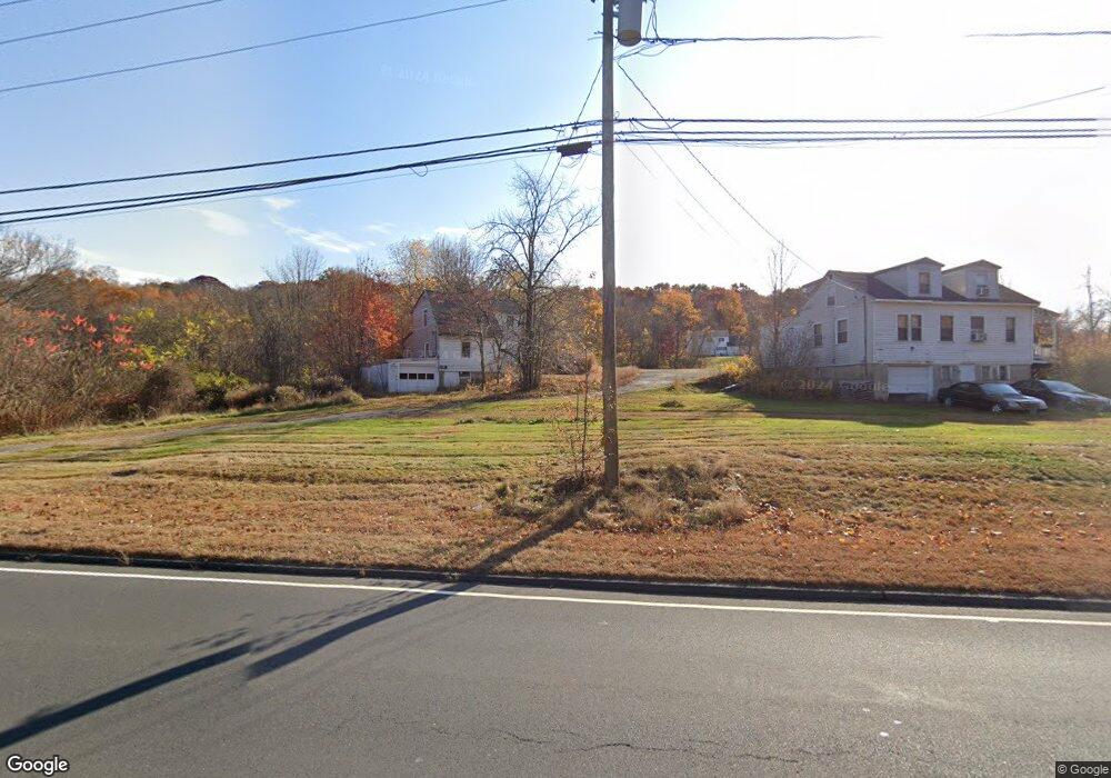
866 Wolcott Rd Wolcott, CT 06716
Wolcott AreaEstimated payment $7,349/month
Highlights
- 7.1 Acre Lot
- Wetlands on Lot
- 2-minute walk to Wolcott Dog Park
- Property is near golf course and public transit
- Public Transportation
About This Lot
7.1 acres of land which includes 2 parcels, #854 and 866 available on Wolcott Road (Route 69). Road Frontage 575 ft. approximate on Route 69. Property backs up to Minor Road. Sewer approximately 400 feet away from Minor Road on Center Street.
Listing Agent
Fercodini Properties, Inc. Brokerage Phone: (203) 910-0673 License #RES.0220489 Listed on: 05/01/2024
Property Details
Property Type
- Land
Est. Annual Taxes
- $8,585
Lot Details
- 7.1 Acre Lot
- Property fronts a state road
- 3 Lots in the community
- Property is zoned R40
Location
- Property is near golf course and public transit
Schools
- Tyrrell Middle School
- Wolcott High School
Utilities
- Gas Available
- Phone Available
- Cable TV Available
Listing and Financial Details
- Assessor Parcel Number 1441876
Community Details
Amenities
- Public Transportation
Recreation
- Wetlands on Lot
Map
Home Values in the Area
Average Home Value in this Area
Tax History
We collect this data history from publicly available records. To have your information removed, we recommend requesting removal directly through your county’s website.
| Year | Tax Paid | Tax Assessment Tax Assessment Total Assessment is a certain percentage of the fair market value that is determined by local assessors to be the total taxable value of land and additions on the property. | Land | Improvement |
|---|---|---|---|---|
| 2025 | $8,585 | $238,940 | $68,460 | $170,480 |
| 2024 | $7,902 | $238,940 | $68,460 | $170,480 |
| 2023 | $7,615 | $238,940 | $68,460 | $170,480 |
| 2022 | $7,359 | $238,940 | $68,460 | $170,480 |
| 2021 | $6,915 | $208,670 | $66,170 | $142,500 |
| 2020 | $6,915 | $208,670 | $66,170 | $142,500 |
| 2019 | $6,915 | $208,670 | $66,170 | $142,500 |
| 2018 | $6,719 | $208,670 | $66,170 | $142,500 |
| 2017 | $6,525 | $208,670 | $66,170 | $142,500 |
| 2016 | $6,827 | $236,160 | $73,790 | $162,370 |
| 2015 | $6,631 | $236,160 | $73,790 | $162,370 |
| 2014 | $6,416 | $236,160 | $73,790 | $162,370 |
Property History
We collect this data history from publicly available records. To have your information removed, we recommend requesting removal directly through your county’s website.
| Date | Event | Price | List to Sale | Price per Sq Ft |
|---|---|---|---|---|
| 02/10/2026 02/10/26 | Price Changed | $1,250,000 | -3.8% | -- |
| 12/17/2024 12/17/24 | Price Changed | $1,300,000 | -7.1% | -- |
| 05/01/2024 05/01/24 | For Sale | $1,400,000 | -- | -- |
Purchase History
We collect this data history from publicly available records. To have your information removed, we recommend requesting removal directly through your county’s website.
| Date | Type | Sale Price | Title Company |
|---|---|---|---|
| Fiduciary Deed | -- | -- |
Source: SmartMLS
MLS Number: 24014550
APN: WOLC H0241000
Disclaimer: Certain information contained herein is derived from information provided by parties other than Homes.com. All information provided is deemed reliable, but is not guaranteed to be accurate and should be independently verified.
![]() IDX information is provided exclusively for personal, non-commercial use, and may not be used for any purpose other than to identify prospective properties consumers may be interested in purchasing. Information is deemed reliable but not guaranteed.
IDX information is provided exclusively for personal, non-commercial use, and may not be used for any purpose other than to identify prospective properties consumers may be interested in purchasing. Information is deemed reliable but not guaranteed.
- 103 Mad River Rd
- 405 Wolcott Rd
- 264 Lyman Rd Unit 1-1
- 100 Mark Ln
- 35 Cestaro St Unit 2
- 7 Newport Dr
- 870 Woodtick Rd
- 35 Sharon Rd
- 130 Perkins Ave Unit 130 Perkins Apt 3
- 43 Framingham Dr
- 30 Framingham Dr
- 535 Chase Ave
- 57 Wheeler St
- 12 Harvard St
- 1248 N Main St Unit 2
- 1248 N Main St Unit 1
- 103 Robert St
- 85 Stillson Rd
- 1105 N Main St Unit 1
- 1105 N Main St Unit 3

Ask me questions while you tour the home.