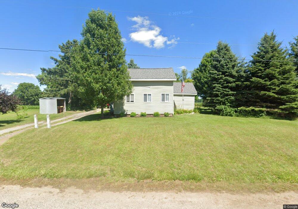
8665 S Us Highway 27 Dewitt, MI 48820
Dewitt AreaEstimated Value: $255,000 - $308,000
About This Home
This home is located at 8665 S Us Highway 27, Dewitt, MI 48820 and is currently estimated at $291,440, approximately $150 per square foot. 8665 S Us Highway 27 is a home located in Clinton County with nearby schools including St. Johns High School.
Ownership History
We collect this data history from publicly available records. To have your information removed, we recommend requesting removal directly through your county’s website.
Purchase Details
Home Financials for this Owner
Home Financials are based on the most recent Mortgage that was taken out on this home.Purchase Details
Purchase Details
Home Financials for this Owner
Home Financials are based on the most recent Mortgage that was taken out on this home.Purchase Details
Home Financials for this Owner
Home Financials are based on the most recent Mortgage that was taken out on this home.Purchase History
We collect this data history from publicly available records. To have your information removed, we recommend requesting removal directly through your county’s website.
| Date | Buyer | Sale Price | Title Company |
|---|---|---|---|
| $220,000 | Mid Michigan Title Agency | ||
| $125,000 | -- | ||
| -- | Nations Title Agency | ||
| -- | Transnation Title |
Mortgage History
We collect this data history from publicly available records. To have your information removed, we recommend requesting removal directly through your county’s website.
| Date | Status | Borrower | Loan Amount |
|---|---|---|---|
| Open | $130,000 | ||
| Previous Owner | $14,400 | ||
| Previous Owner | $115,200 | ||
| Previous Owner | $129,200 | ||
| Previous Owner | $8,450 | ||
| Previous Owner | $98,500 |
Tax History
We collect this data history from publicly available records. To have your information removed, we recommend requesting removal directly through your county’s website.
| Year | Tax Paid | Tax Assessment Tax Assessment Total Assessment is a certain percentage of the fair market value that is determined by local assessors to be the total taxable value of land and additions on the property. | Land | Improvement |
|---|---|---|---|---|
| 2026 | $1,475 | $149,100 | $20,500 | $128,600 |
| 2025 | $1,475 | $135,900 | $18,300 | $117,600 |
| 2024 | $14 | $132,000 | $18,000 | $114,000 |
| 2023 | $1,357 | $117,700 | $0 | $0 |
| 2022 | $2,854 | $109,200 | $15,100 | $94,100 |
| 2021 | $1,811 | $93,400 | $12,600 | $80,800 |
| 2020 | $1,762 | $87,800 | $12,600 | $75,200 |
| 2019 | $1,552 | $79,900 | $12,600 | $67,300 |
| 2018 | $1,369 | $72,600 | $12,600 | $60,000 |
| 2017 | $1,356 | $71,300 | $12,600 | $58,700 |
| 2016 | $1,339 | $72,600 | $12,600 | $60,000 |
| 2015 | -- | $69,000 | $0 | $0 |
| 2011 | -- | $55,500 | $0 | $0 |
Map
- 8836 Williams Rd
- 1910 W Pratt Rd
- 8280 S Dewitt Rd
- V/L E Chadwick Rd
- 1300 E Round Lake Rd
- 1033 W Round Lake Rd
- V/L E Round Lake Rd
- 11549 S Us Highway 27
- 1800 Wilderness Dr
- 0 E Chadwick Rd
- 1960 Deerwood Cir
- 824 W Amesbury Dr
- 0 E Howe Rd Unit 26004308
- E Howe Rd
- 4675 Alward Rd
- 4609 W Pratt Rd
- 12321 Sea Pines Dr
- 3294 Hidden Ridge Dr
- 14013 Ambrosia Ave
- 10970 S Airport Rd
- 8665 Old U S 27
- 8720 S Us Highway 27
- 8720 S Us Highway 27
- 8668 S Us Highway 27
- 8544 S Us Highway 27
- 8544 S Us Highway 27
- 8833 S Us Highway 27
- 8833 S Us Highway 27
- 00 W Alward Rd
- 8850 S Us Highway 27
- 1245 W Alward Rd
- 8423 S Us Highway 27
- 8423 Old U S 27
- 1114 W Alward Rd
- 1077 E Alward Rd
- 8430 S Us Highway 27
- 1050 E Alward Rd
- 1050 E Alward Rd
- 8934 S Us Highway 27
- 1145 E Alward Rd
Ask me questions while you tour the home.