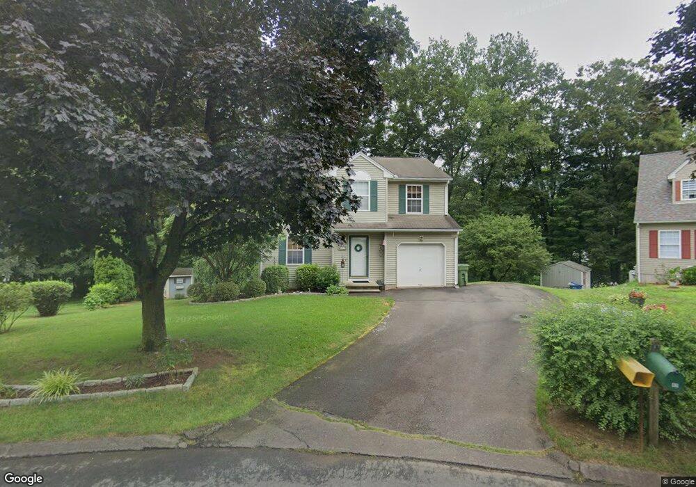
87 Brookside Cir Windsor, CT 06095
West Windsor NeighborhoodEstimated Value: $387,513 - $434,000
About This Home
This home is located at 87 Brookside Cir, Windsor, CT 06095 and is currently estimated at $411,378, approximately $295 per square foot. 87 Brookside Cir is a home located in Hartford County with nearby schools including Poquonock Elementary School, Clover Street School, and Sage Park Middle School.
Ownership History
We collect this data history from publicly available records. To have your information removed, we recommend requesting removal directly through your county’s website.
Purchase Details
Home Values in the Area
Average Home Value in this Area
Purchase History
We collect this data history from publicly available records. To have your information removed, we recommend requesting removal directly through your county’s website.
| Date | Buyer | Sale Price | Title Company |
|---|---|---|---|
| $30,000 | -- | ||
| $137,980 | -- |
Mortgage History
We collect this data history from publicly available records. To have your information removed, we recommend requesting removal directly through your county’s website.
| Date | Status | Borrower | Loan Amount |
|---|---|---|---|
| Closed | $164,000 | ||
| Closed | $127,800 |
Tax History
We collect this data history from publicly available records. To have your information removed, we recommend requesting removal directly through your county’s website.
| Year | Tax Paid | Tax Assessment Tax Assessment Total Assessment is a certain percentage of the fair market value that is determined by local assessors to be the total taxable value of land and additions on the property. | Land | Improvement |
|---|---|---|---|---|
| 2025 | $5,405 | $189,980 | $52,640 | $137,340 |
| 2024 | $5,760 | $189,980 | $52,640 | $137,340 |
| 2023 | $4,386 | $130,550 | $41,930 | $88,620 |
| 2022 | $4,343 | $130,550 | $41,930 | $88,620 |
| 2021 | $4,343 | $130,550 | $41,930 | $88,620 |
| 2020 | $4,323 | $130,550 | $41,930 | $88,620 |
| 2019 | $4,227 | $130,550 | $41,930 | $88,620 |
| 2018 | $4,183 | $126,910 | $41,930 | $84,980 |
| 2017 | $4,118 | $126,910 | $41,930 | $84,980 |
| 2016 | $4,000 | $126,910 | $41,930 | $84,980 |
| 2015 | $3,924 | $126,910 | $41,930 | $84,980 |
| 2014 | $3,867 | $126,910 | $41,930 | $84,980 |
Map
- 2050 Poquonock Ave
- 35 Hollow Brook Rd
- 6 Concorde Way Unit B4
- 30-32 Day St
- 8 Concorde Way Unit B5
- 5 Concorde Way Unit B5
- 1 Walters Way
- 283 Strawberry Cir
- 82 Timothy Terrace
- 0 Walnut and Larch Dr
- 63 Darien Dr
- 36 Larch Dr
- 416 Litchfield Dr
- 999 Stone Rd
- 10 Kendrick Ln
- 1 Deanne Lynn Cir
- 17 Carpenter Ln
- 39 Loren Cir
- 22 Pebblebrook
- 1221 Poquonock Ave
- 84 Brookside Cir
- 88 Brookside Cir
- 215 Rainbow Rd
- 80 Brookside Cir
- 27 Stevens Mill Rd
- 205 Rainbow Rd
- 187 Rainbow Rd
- 83 Brookside Cir
- 185 Rainbow Rd
- 221 Rainbow Rd
- 20 Rainbow Creek
- 32 Rainbow Creek
- 210 Rainbow Rd
- 11 Rainbow Creek
- 179 Rainbow Rd
- 200 Rainbow Rd
- 36 Rainbow Creek
- 214 Rainbow Rd
- 15 Rainbow Creek
- 175 Rainbow Rd
Ask me questions while you tour the home.