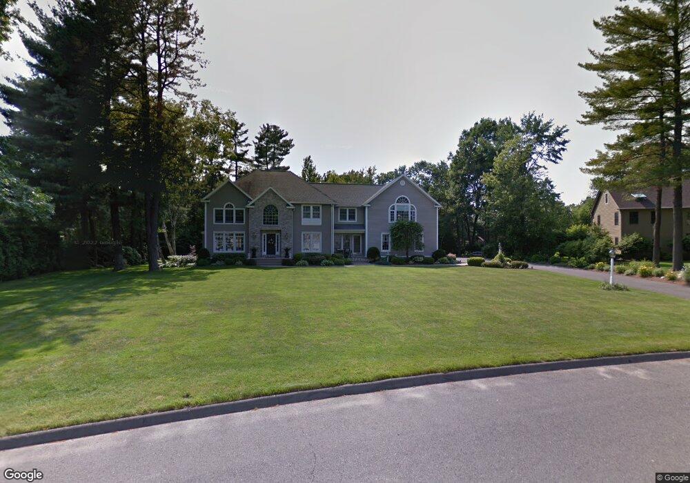
87 Gary Dr Westfield, MA 01085
Westfield AreaEstimated Value: $752,000 - $828,000
About This Home
This home is located at 87 Gary Dr, Westfield, MA 01085 and is currently estimated at $801,039, approximately $195 per square foot. 87 Gary Dr is a home located in Hampden County with nearby schools including Westfield High School and Saint Mary High School.
Ownership History
We collect this data history from publicly available records. To have your information removed, we recommend requesting removal directly through your county’s website.
Purchase Details
Purchase Details
Home Values in the Area
Average Home Value in this Area
Purchase History
We collect this data history from publicly available records. To have your information removed, we recommend requesting removal directly through your county’s website.
| Date | Buyer | Sale Price | Title Company |
|---|---|---|---|
| -- | None Available | ||
| $84,000 | -- |
Mortgage History
We collect this data history from publicly available records. To have your information removed, we recommend requesting removal directly through your county’s website.
| Date | Status | Borrower | Loan Amount |
|---|---|---|---|
| Previous Owner | $300,000 | ||
| Previous Owner | $200,000 |
Tax History
We collect this data history from publicly available records. To have your information removed, we recommend requesting removal directly through your county’s website.
| Year | Tax Paid | Tax Assessment Tax Assessment Total Assessment is a certain percentage of the fair market value that is determined by local assessors to be the total taxable value of land and additions on the property. | Land | Improvement |
|---|---|---|---|---|
| 2025 | $12,227 | $805,500 | $169,500 | $636,000 |
| 2024 | $12,354 | $773,600 | $154,900 | $618,700 |
| 2023 | $11,506 | $703,700 | $146,700 | $557,000 |
| 2022 | $11,506 | $622,300 | $131,300 | $491,000 |
| 2021 | $11,166 | $591,400 | $123,900 | $467,500 |
| 2020 | $10,897 | $566,100 | $123,900 | $442,200 |
| 2019 | $10,437 | $530,600 | $117,900 | $412,700 |
| 2018 | $10,272 | $530,600 | $117,900 | $412,700 |
| 2017 | $9,986 | $514,200 | $119,400 | $394,800 |
| 2016 | $9,996 | $514,200 | $119,400 | $394,800 |
| 2015 | $9,411 | $507,600 | $119,400 | $388,200 |
| 2014 | $7,050 | $507,600 | $119,400 | $388,200 |
Map
- 20 Raymond Cir
- 42 Gary Dr
- 210 Steiger Dr
- 451 Falley Dr
- 27 Lady Slipper Cir
- 36 Ingersoll Dr
- 56 Cardinal Ln
- 929 Shaker Rd Unit 17
- 27 Country Club Dr
- 83 Pineridge Dr
- 76 Glenwood Dr
- 57 Falley Dr
- 27 Breighly Way
- 31 Shaker Rd
- 6 Toledo Ave Unit A
- 21 South St
- 33 Noble St
- 44 Tannery Rd
- 155 Main St
- 145 Main St
- 91 Gary Dr
- 225 Munger Hill Rd
- 167 Wildflower Cir
- 81 Gary Dr
- 84 Gary Dr
- 171 Wildflower Cir
- 92 Gary Dr
- 155 Wildflower Cir
- 77 Gary Dr
- 76 Gary Dr
- 222 Munger Hill Rd
- 218 Munger Hill Rd
- 226 Munger Hill Rd
- 170 Wildflower Cir
- G79 Raymond Cir
- 160 Wildflower Cir
- 166 Wildflower Cir
- 207 Munger Hill Rd
- 214 Munger Hill Rd
- 154 Wildflower Cir
Ask me questions while you tour the home.