87 Millbrook Rd Colebrook, CT 06021
Colebrook AreaEstimated Value: $585,000 - $805,000
About This Home
This home is located at 87 Millbrook Rd, Colebrook, CT 06021 and is currently estimated at $718,922, approximately $225 per square foot. 87 Millbrook Rd is a home with nearby schools including Colebrook Consolidated School, Northwestern Regional Middle School, and Northwestern Regional High School.
Ownership History
We collect this data history from publicly available records. To have your information removed, we recommend requesting removal directly through your county’s website.
Purchase Details
Home Values in the Area
Average Home Value in this Area
Purchase History
We collect this data history from publicly available records. To have your information removed, we recommend requesting removal directly through your county’s website.
| Date | Buyer | Sale Price | Title Company |
|---|---|---|---|
| -- | -- |
Mortgage History
We collect this data history from publicly available records. To have your information removed, we recommend requesting removal directly through your county’s website.
| Date | Status | Borrower | Loan Amount |
|---|---|---|---|
| Previous Owner | $150,000 | ||
| Previous Owner | $200,000 |
Tax History
We collect this data history from publicly available records. To have your information removed, we recommend requesting removal directly through your county’s website.
| Year | Tax Paid | Tax Assessment Tax Assessment Total Assessment is a certain percentage of the fair market value that is determined by local assessors to be the total taxable value of land and additions on the property. | Land | Improvement |
|---|---|---|---|---|
| 2025 | $13,178 | $391,030 | $42,700 | $348,330 |
| 2024 | $12,513 | $391,030 | $42,730 | $348,300 |
| 2023 | $12,982 | $391,030 | $42,730 | $348,300 |
| 2022 | $12,611 | $391,030 | $42,730 | $348,300 |
| 2021 | $24,513 | $391,030 | $42,730 | $348,300 |
| 2020 | $11,687 | $384,750 | $45,050 | $339,700 |
| 2019 | $11,889 | $384,750 | $45,050 | $339,700 |
| 2018 | $11,889 | $384,750 | $45,050 | $339,700 |
| 2017 | $13,312 | $384,750 | $45,050 | $339,700 |
| 2016 | $11,195 | $382,070 | $42,370 | $339,700 |
| 2015 | $11,207 | $403,120 | $51,520 | $351,600 |
| 2014 | $11,207 | $403,120 | $51,520 | $351,600 |
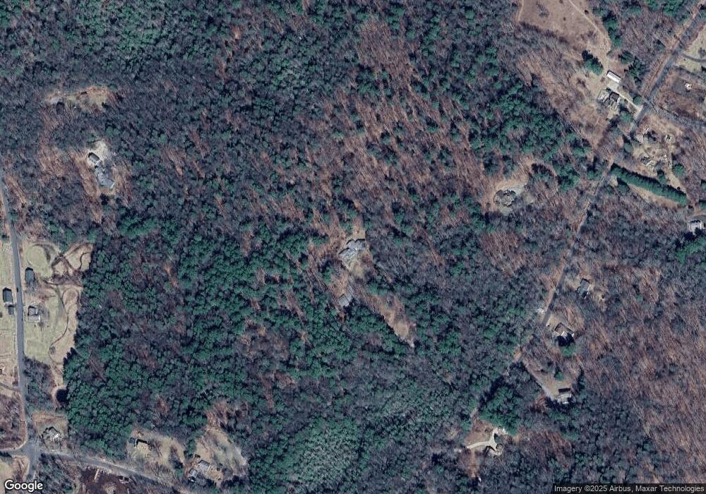
Map
- 0 Winsted Norfolk Rd Unit 24089254
- -00 Colebrook Rd
- 103 Cordano Rd
- 321 Colebrook Rd
- 000000 Norfolk Rd
- 295 Smith Hill Rd
- 32 Norfolk Rd
- 44 Pine Rd
- 77 Deer Hill Rd
- 18 Pine Rd
- 184 Smith Hill Rd
- 9 Loomis St
- 77 Hubbard St
- 00 Greenwoods Rd E
- 118 Meadow St
- 32 Hubbard St
- 63 Meadow St
- 00 Main St
- 121 W Wakefield Blvd
- 119 W Wakefield Blvd
- 71 Millbrook Rd
- 78 Millbrook Rd
- 72 Millbrook Rd
- 88 Millbrook Rd
- 113 Millbrook Rd
- 148 Pinney St
- 92 Millbrook Rd
- 64 Millbrook Rd
- 121 Millbrook Rd
- 62 Millbrook Rd
- 142 Pinney St
- 2 Hannafin Rd
- 158 Pinney St
- 0 Hannafin Rd Unit L151010
- 166 Pinney St
- 56 Millbrook Rd
- 54 Millbrook Rd
- 134 Pinney St
- 52 Millbrook Rd
- 82 Millbrook Rd
Ask me questions while you tour the home.