870 Brendle Trace Springfield, OH 45503
Estimated Value: $261,000 - $276,802
About This Home
This home is located at 870 Brendle Trace, Springfield, OH 45503 and is currently estimated at $269,701, approximately $167 per square foot. 870 Brendle Trace is a home located in Clark County with nearby schools including Northridge Elementary School, Kenton Ridge Middle & High School, and Emmanuel Christian Academy.
Ownership History
We collect this data history from publicly available records. To have your information removed, we recommend requesting removal directly through your county’s website.
Purchase Details
Home Financials for this Owner
Home Financials are based on the most recent Mortgage that was taken out on this home.Home Values in the Area
Average Home Value in this Area
Purchase History
We collect this data history from publicly available records. To have your information removed, we recommend requesting removal directly through your county’s website.
| Date | Buyer | Sale Price | Title Company |
|---|---|---|---|
| $163,000 | Attorney |
Mortgage History
We collect this data history from publicly available records. To have your information removed, we recommend requesting removal directly through your county’s website.
| Date | Status | Borrower | Loan Amount |
|---|---|---|---|
| Open | $130,360 |
Tax History
We collect this data history from publicly available records. To have your information removed, we recommend requesting removal directly through your county’s website.
| Year | Tax Paid | Tax Assessment Tax Assessment Total Assessment is a certain percentage of the fair market value that is determined by local assessors to be the total taxable value of land and additions on the property. | Land | Improvement |
|---|---|---|---|---|
| 2025 | $2,520 | $76,540 | $12,250 | $64,290 |
| 2024 | $2,466 | $66,160 | $10,500 | $55,660 |
| 2023 | $2,466 | $66,160 | $10,500 | $55,660 |
| 2022 | $2,493 | $66,160 | $10,500 | $55,660 |
| 2021 | $2,476 | $57,070 | $8,750 | $48,320 |
| 2020 | $2,478 | $57,070 | $8,750 | $48,320 |
| 2019 | $2,524 | $57,070 | $8,750 | $48,320 |
| 2018 | $2,413 | $53,040 | $8,750 | $44,290 |
| 2017 | $2,076 | $53,085 | $8,750 | $44,335 |
| 2016 | $2,062 | $53,085 | $8,750 | $44,335 |
| 2015 | $2,188 | $51,804 | $8,750 | $43,054 |
| 2014 | $2,188 | $51,804 | $8,750 | $43,054 |
| 2013 | $2,138 | $51,804 | $8,750 | $43,054 |
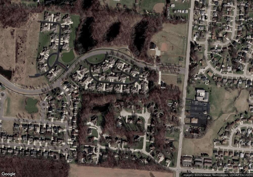
Map
- 954 Forest Edge Ave
- 797 Hiser Ave
- 4528 W Ridgewood Rd
- 4890 Highlander Ln
- 1341 Student Ave
- 1309 Richmoor Rd
- 4512 Ridgewood Rd E
- 1415 Montego Dr
- 4267 Helena Dr
- 5427 Richmoor Rd
- 4385 Helena Ct
- 0 Moorefield Rd
- 4732 Lehigh Dr
- 4642 Laredo St
- 5195 Burton Dr
- 1141 Brixton Dr W
- 5235 Middle Urbana Rd
- 3113 Brixton Dr E
- 1143 Derby Rd
- 1500 Kingsgate Rd Unit 19430
- 870 Brendle Trace Unit 29
- 872 Brendle Trace Unit 30
- 878 Brendle Trace Unit 27
- 854 Brendle Trace Unit 31
- 854 Brendle Trace
- 856 Brendle Trace Unit 32
- 864 Trent Close Unit 19
- 864 Trent Close
- 864 Trent Close
- 864 Trent Close
- 864 Trent Close
- 850 Brendle Trace Unit 18
- 882 Brendle Trace
- 852 Trent Close Unit 17
- 852 Trent Close
- 852 Trent Close
- 852 Trent Close
- 886 Brendle Trace Unit 3
- 886 Brendle Trace Unit 23
- 842 Brendle Trace
Ask me questions while you tour the home.