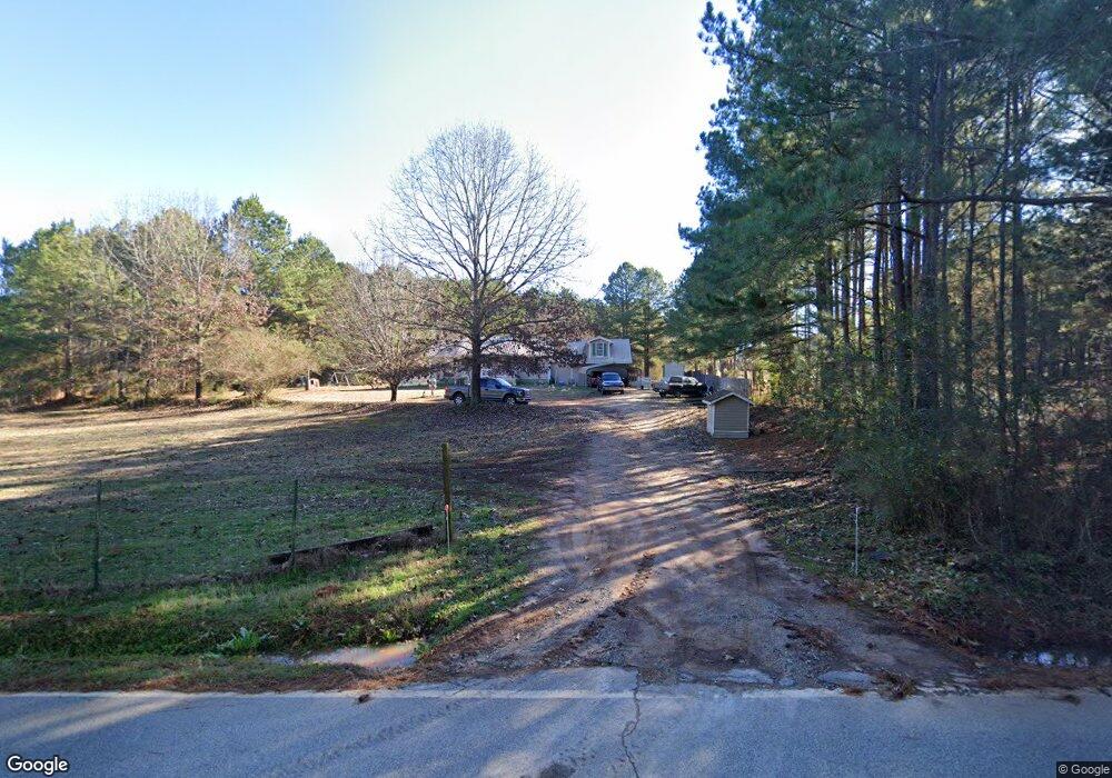
871 McDonald Rd Covington, GA 30014
Estimated Value: $266,000 - $294,000
Studio
2
Baths
1,810
Sq Ft
$153/Sq Ft
Est. Value
About This Home
This home is located at 871 McDonald Rd, Covington, GA 30014 and is currently estimated at $277,439, approximately $153 per square foot. 871 McDonald Rd is a home located in Newton County with nearby schools including Mansfield Elementary School, Indian Creek Middle School, and Alcovy High School.
Ownership History
Date
Name
Owned For
Owner Type
Purchase Details
Closed on
Nov 25, 2003
Sold by
Doster J Douglas
Bought by
Dave Phyllis W
Current Estimated Value
Home Financials for this Owner
Home Financials are based on the most recent Mortgage that was taken out on this home.
Original Mortgage
$124,134
Outstanding Balance
$56,912
Interest Rate
6.07%
Mortgage Type
FHA
Estimated Equity
$220,527
Purchase Details
Closed on
Mar 4, 2003
Sold by
Haralson William D
Bought by
Credit Based Asset Servicing/S
Create a Home Valuation Report for This Property
The Home Valuation Report is an in-depth analysis detailing your home's value as well as a comparison with similar homes in the area
Home Values in the Area
Average Home Value in this Area
Purchase History
| Date | Buyer | Sale Price | Title Company |
|---|---|---|---|
| Dave Phyllis W | $125,200 | -- | |
| Credit Based Asset Servicing/S | $97,750 | -- |
Source: Public Records
Mortgage History
| Date | Status | Borrower | Loan Amount |
|---|---|---|---|
| Open | Dave Phyllis W | $124,134 |
Source: Public Records
Tax History
| Year | Tax Paid | Tax Assessment Tax Assessment Total Assessment is a certain percentage of the fair market value that is determined by local assessors to be the total taxable value of land and additions on the property. | Land | Improvement |
|---|---|---|---|---|
| 2025 | $2,436 | $102,600 | $13,000 | $89,600 |
| 2024 | $2,435 | $100,000 | $7,400 | $92,600 |
| 2023 | $2,580 | $98,960 | $7,400 | $91,560 |
| 2022 | $1,992 | $77,280 | $7,400 | $69,880 |
| 2021 | $1,916 | $67,080 | $7,400 | $59,680 |
| 2020 | $1,650 | $53,000 | $7,200 | $45,800 |
| 2019 | $1,551 | $49,360 | $7,200 | $42,160 |
| 2018 | $1,343 | $43,000 | $7,200 | $35,800 |
| 2017 | $1,303 | $41,840 | $6,000 | $35,840 |
| 2016 | $1,303 | $41,840 | $6,000 | $35,840 |
| 2015 | $1,330 | $42,640 | $6,000 | $36,640 |
| 2014 | $1,230 | $39,800 | $0 | $0 |
Source: Public Records
Map
Nearby Homes
- 150 W Pennick Dr
- 686 Newton Factory Bridge Rd
- 0 Newton Factory Bridge Rd Unit 10615368
- 0 Newton Factory Bridge Rd Unit 7657995
- 70 McDonald Rd
- 0 Pickett Bridge Rd Unit 10696400
- 0 Pickett Bridge Rd Unit 7723248
- 0 Pickett Bridge Rd Unit 7723236
- 0 Pickett Bridge Rd Unit 10696395
- 35 Stewart Hollow Ln
- 115 Willow Springs Dr
- 80 Stewart Hollow Ln
- 867 Bear Creek Point
- 1042 Stag Run Dr
- 20 Hollow Ct
- 132 Armstrong Dr Unit 91
- 1360 Stag Run Dr
- 122 Armstrong Dr Unit 90
- 135 Saddle Ln
- 112 Armstrong Dr Unit 89
Your Personal Tour Guide
Ask me questions while you tour the home.